Browse / India / West Bengal / Birnagar
Birnagar
West Bengaltown

Birnagar
Demographic figures from Ministry of Statistics (India). Overview below cites Wikipedia and may reference a different year.
City facts
Overview
Birnagar is an island town situated in the Hooghly River, within the Ranaghat subdivision of Nadia district in West Bengal, India. It traces its origins back to the pre-colonial era when it was established. Prior to the British colonization of India, Birnagar was known as "Ula."
Read more on WikipediaHistory & geography
History
According to historical records, Birnagar was initially an island in the Hoogly River, but its course shifted away from the then settlement of Ula around 1707. Before British colonization, the area was referred to as Ula or Ulo. The name "Ula" still persists in the titles of some local institutions, such as the library and hospital, and is also mentioned in Rabindranath Tagore's short story Post Master. The Birnagar Municipality has a history of around 150 years, with its inaugural chairman being Kabi Nabinchandra Sen. In the past, Birnagar was divided between two zamindars: the Mukherjees and the Mustafis.
Geography
Birnagar is situated at coordinates . According to the maps in the District Census Handbook 2011 for Nadia, the census towns of Kamgachhi, Raghabpur, Panpara, Aistala, Satigachha, Anulia, Halalpur Krishnapur, Hijuli, and Ranaghat (CT) form a cluster around Ranaghat within the Ranaghat I and Ranaghat II CD blocks. Additionally, other localities such as Nokari, Nasra, Cooper's Camp, Birnagar, Habibpur, Gopalpur, and Parbbatipur are also associated with this cluster. Nadia district consists mainly of alluvial plains located to the east of the Hooghly River, locally known as Bhagirathi. These plains are intersected by distributaries such as Jalangi, Churni, and Ichhamati. Due to the siltation of these rivers, floods occur periodically. The Ranaghat subdivision is bordered by the Bhagirathi River to the west, with Purba Bardhaman and Hooghly districts situated on the opposite bank. Topographically, the Ranaghat subdivision encompasses the Krishnanagar-Santipur Plain, which occupies the central part of the district, and the Ranaghat-Chakdaha Plain, a low-lying area in the southeastern part. The Churni River separates these two plains. A portion of the eastern border forms the boundary with Bangladesh, while the lower section is part of the North 24 Parganas district. The subdivision has experienced significant urbanization, with 41.68% of the population residing in urban areas and 58.32% living in rural areas. Note: The map alongside presents some of the notable locations in the subdivision. All places marked in the map are linked in the larger full screen map. All the four subdivisions are presented with maps on the same scale – the size of the maps vary as per the area of the subdivision.
Excerpted from the corresponding Wikipedia article (CC BY-SA).
Geography
Coordinates & boundaries from the US Census TIGER/Line shapefiles.
Climate
Air quality
Walkability
Amenities nearby
Wildlife & biodiversity
Earthquake history
Photos
Sights & places nearby
Notable people from here


People born within ~10 km, from Wikidata (CC0). Click any name for their Wikipedia article.
Geography & sun
Elevation, sunrise/sunset and daylight from Open-Meteo. Solar climatology from NASA POWER.
Nearby airports
Public attention
Pageview totals from the Wikimedia Pageviews API.
Books about this place
Recent natural events nearby
Ground air-quality sensors
Recently spotted species
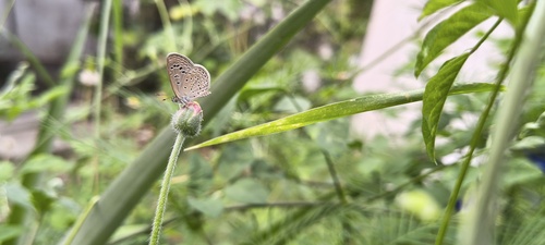
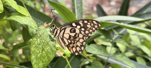
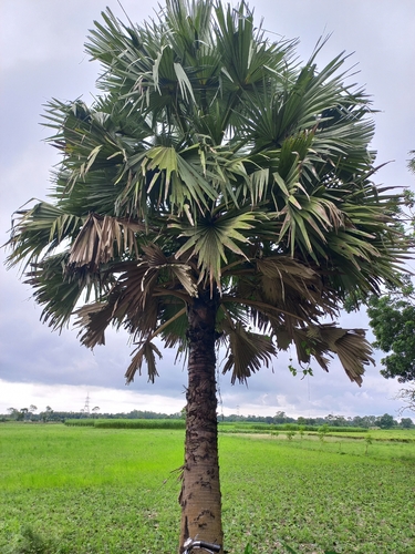
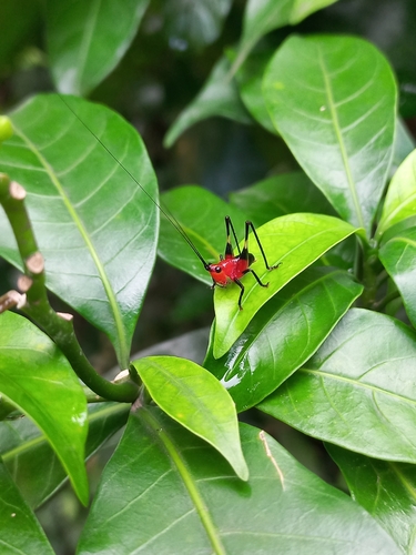
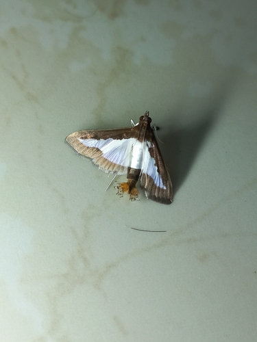
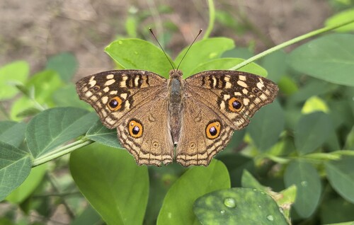
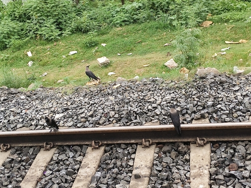
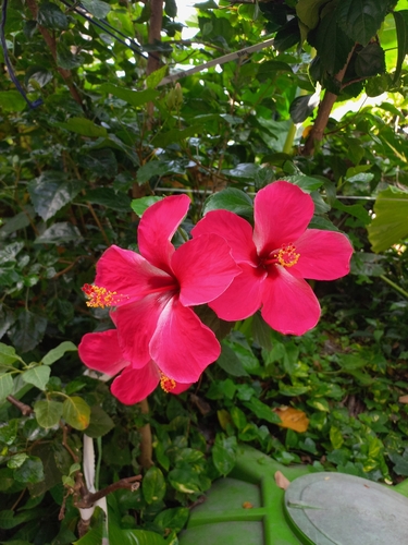
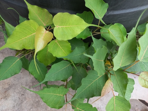
Research-grade observations from iNaturalist (within ~15 mi).
Events
Gallery
Sources
- • Wikipedia
- • Wikidata
- • iNaturalist
- • Open-Meteo / sunrise-sunset.org
- • Wikipedia Pageviews API