Browse / United States / Indiana / Canaan
Canaan
IndianaCDP

Canaan
Total population
120
Median home value
$0
Bachelor's+
Median income
$0
Demographic figures from US Census Bureau · ACS 5-year estimates. Overview below cites Wikipedia and may reference a different year.
City facts
Facts from Wikidata (CC0).
Overview
Canaan is an unincorporated community and census-designated place (CDP) in Shelby Township, Jefferson County, Indiana, United States. As of the 2020 census, Canaan had a population of 72.
Read more on WikipediaHistory & geography
History
Canaan began growing slowly with the establishment of John Warfield's farm in 1812. The first known use of the name "Canaan" is dated November 15, 1832, when Edwards Ayres advertised that he had opened the Bee Hive, a public house, 14 miles from Canaan and 12 miles from Madison. On May 6, 1833, a road petition mentions Canaan in renaming a road to Versailles beginning at Canaan. It is generally recognized that Amos Simpers founded Canaan by virtue of the fact that he sold seven lots laid out along the road that is now State Road 62. On March 15, 1836, Canaan's original plat was filed in a Jefferson County deed book. The Indian-Kentuck Baptist Church was established in 1814. In 1815, the church joined the Silver Creek Baptist Association, according to the earliest independent record. On November 27, 1819, the church purchased a lot on Toddy's Branch for relocation but instead chose a site at Flat Bottom Cemetery circa 1820. In either 1844 or 1865, dates being disputed, the church was moved to its present site on 4413 East 925 North just northwest of downtown Canaan. The pastor since 2019 is Rodney Asher. The church has seen a resurgence in the community of Canaan and in attendance in the congregation in recent years. The church has maintained a multi-county food pantry twice a month, and a presence at the Jefferson County fair, along with many other community outreach programs. Canaan Methodist Church was founded in 1830 by John Cain, William C. Sullivan, John Warfield, and Marscia Cook and their wives. The cemetery dates to 1829, with the first burial being that of a child named Susan Littlejohn. Katherine Cain is reported to be the next burial, which took place July 30, 1833. The land on which these burials occurred was deeded to church trustees by Amos Simpers on…
Geography
Canaan is located in northeastern Jefferson County in the center of Shelby Township. State Roads 62 and 250 pass through the community together, along the eastern and southern sides. State Road 62 leads northeast to Dillsboro and southwest to the northern outskirts of Madison, the Jefferson county seat. State Road 250 leads east to Pleasant and southwest to U.S. Route 421, which leads south to the center of Madison. According to the U.S. Census Bureau, the Canaan CDP has a total area of , of which , or 0.26%, are water. The center of the community drains north via Canaan Branch into the valley of Indian Kentuck Creek, which flows south to the Ohio River at Brooksburg. The western edge of the Canaan CDP drains west to Toddys Branch, which flows to the West Fork of Indian Kentuck Creek.
Excerpted from the corresponding Wikipedia article (CC BY-SA).
Demographics & economy
Race & ethnicity
Source: US Census Bureau — American Community Survey, 5-year estimates.
Geography
Coordinates & boundaries from the US Census TIGER/Line shapefiles.
Climate
Air quality
Industrial & pollution facilities
Natural hazard risk
Health (adults)
Age-adjusted prevalence estimates from CDC PLACES (latest release).
Walkability
Amenities nearby
Wildlife & biodiversity
Schools
Largest nearby schools
- Madison Consolidated High SchoolHigh · Madison · 847 students · 16.9:1 ratio
- Madison Consolidated Jr High SchMiddle · Madison · 743 students · 16.2:1 ratio
- Anderson Elementary SchoolElementary · Madison · 457 students · 20.8:1 ratio
- Lydia Middleton Elementary SchoolElementary · Madison · 335 students · 19.7:1 ratio
- Rykers' Ridge Elementary SchoolElementary · Madison · 211 students · 19.2:1 ratio
- Canaan Community AcademyElementary · Canaan · 183 students · 16.6:1 ratio
Public K–12 schools within ~10 mi from Urban Institute Education Data Portal (NCES Common Core of Data, 2022).
Earthquake history
Photos
Sights & places nearby
Notable people from here
Nearby places in Indiana
Geography & sun
Elevation, sunrise/sunset and daylight from Open-Meteo. Solar climatology from NASA POWER.
Nearby airports
Public attention
Pageview totals from the Wikimedia Pageviews API.
Books about Canaan

Search results from Open Library.
Recent natural events nearby
Ground air-quality sensors
Recently spotted species
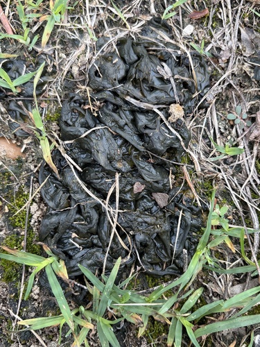

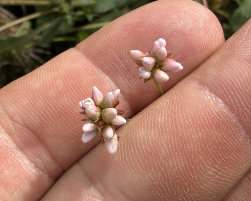
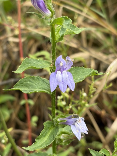
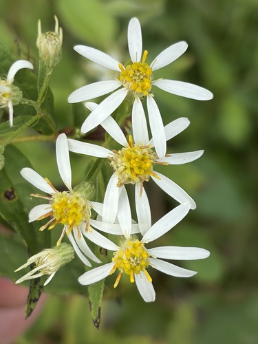

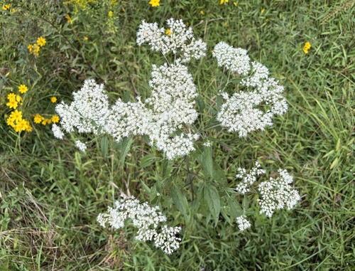

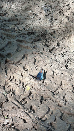
Research-grade observations from iNaturalist (within ~15 mi).
Nearest stream gauge
Live readings from USGS NWIS · measured 2026-09-18 12:15 UTC.
Events
Gallery
Sources
- • Wikipedia
- • US Census Bureau (ACS 5-year estimates)
- • Wikidata
- • USGS NWIS (water data)
- • NCES via Urban Institute Education Data Portal
- • iNaturalist
- • CDC PLACES
- • Open-Meteo / sunrise-sunset.org
- • Wikipedia Pageviews API
- • Open Library