Browse / India / Jharkhand / Chakradharpur
Chakradharpur
Jharkhandtown
Total population
1,000
Demographic figures from Ministry of Statistics (India). Overview below cites Wikipedia and may reference a different year.
City facts
Facts from Wikidata (CC0).
Overview
Chakradharpur is a city in West Singhbhum district in the state of Jharkhand, India. It is the railway divisional headquarters of Chakradharpur (CKP) division of the South Eastern Railway. The city stands at an elevation of 227 metres and has urban area of 10 square kilometres bounded on the east by Jamshedpur (Tatanagar), on the west by Rourkela (Odisha), on the north by Ranchi and on the south by Chaibasa. Chakradharpur is close to boundaries of two neighbouring states, Odisha and West Bengal.
Read more on WikipediaHistory & geography
Geography
Chakradharpur is located at . It has an average elevation of 227 metre (745 ft). It is covered by mountains on most sides, and the river Sanjay running in the south-eastern periphery. Chakradharpur is believed to have been a quasi-hill station in the mid-1900s.
Excerpted from the corresponding Wikipedia article (CC BY-SA).
Geography
Coordinates & boundaries from the US Census TIGER/Line shapefiles.
Climate
Air quality
Walkability
Amenities nearby
Wildlife & biodiversity
Earthquake history
Photos
Sights & places nearby
Notable people from here

People born within ~10 km, from Wikidata (CC0). Click any name for their Wikipedia article.
Geography & sun
Nearby airports
Public attention
Books about this place
Recent natural events nearby
Ground air-quality sensors
Recently spotted species
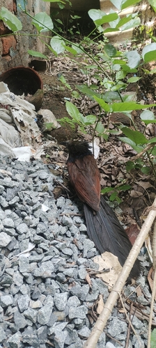

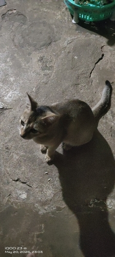
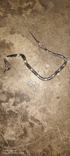
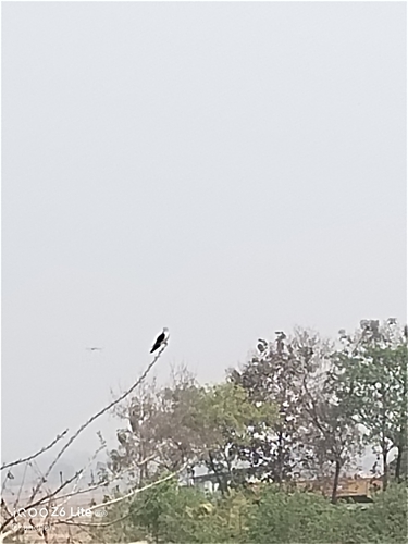

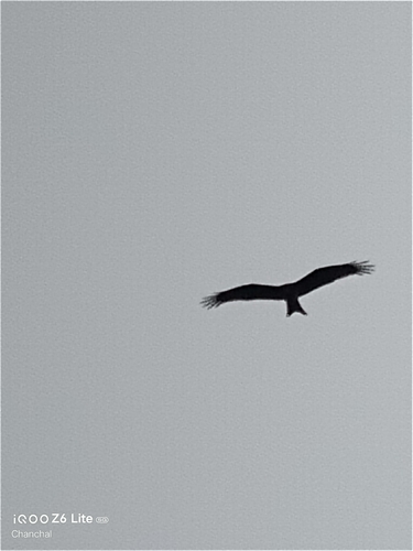
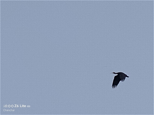

Research-grade observations from iNaturalist (within ~15 mi).
Events
Gallery
Sources
- • Wikipedia
- • Wikidata
- • iNaturalist