Browse / India / Jharkhand / Chandrapura
Chandrapura
Jharkhandtown
Demographic figures from Ministry of Statistics (India). Overview below cites Wikipedia and may reference a different year.
City facts
Overview
Chandrapura is a census town in the Chandrapura CD block in the Bermo subdivision of the Bokaro district in the Indian state of Jharkhand. It is situated on the northern banks of the river Damodar. The town is well known for the Chandrapura Thermal Power Station, a thermal-coal based power generation unit of Damodar Valley Corporation (DVC) and De Nobili school which was established by Roberto de Nobili. The school is one of 16 schools supported by Damodar Valley Corporation, an Indian state-owned corporation.
Read more on WikipediaHistory & geography
Geography
Chandrapura is roughly situated near the East-Central part of Jharkhand at and has an average elevation of 222 m (728 ft). The town is surrounded by a group of hillocks on the North-West, West and the South. On the North, it is surrounded by the small adjoining villages of Ghatiyari, Pipradih, Narra and Taranari. The town is well connected by road and rail. Chandrapura railway station, being one of the biggest railway intersections in the nation, has five routes which provide efficient transportation all throughout India. Bokaro district consists of undulating uplands on the Chota Nagpur Plateau with the Damodar River cutting a valley right across. It has an average elevation of above mean sea level. The highest hill, Lugu Pahar, rises to a height of . The East Bokaro Coalfield located in the Bermo-Phusro area and small intrusions of Jharia Coalfield make Bokaro a coal rich district. In 1965, one of the largest steel manufacturing units in the country, Bokaro Steel Plant, operated by Steel Authority of India Limited, was set up at Bokaro Steel City. The Damodar Valley Corporation established its first thermal power station at Bokaro (Thermal). The long, high earthfill dam with composite masonry cum concrete spillway, Tenughat Dam, across the Damodar River, is operated by the Government of Jharkhand. The average annual rainfall is . The soil is generally infertile and agriculture is mostly rain-fed. Note: The map alongside presents some of the notable locations in the district. All places marked in the map are linked in the larger full screen map.
Excerpted from the corresponding Wikipedia article (CC BY-SA).
Geography
Coordinates & boundaries from the US Census TIGER/Line shapefiles.
Climate
Air quality
Walkability
Amenities nearby
Wildlife & biodiversity
Earthquake history
Photos
Sights & places nearby
Notable people from here
Nearby places in Jharkhand
Geography & sun
Elevation, sunrise/sunset and daylight from Open-Meteo. Solar climatology from NASA POWER.
Nearby airports
Public attention
Pageview totals from the Wikimedia Pageviews API.
Books about this place
Recent natural events nearby
Ground air-quality sensors
Recently spotted species
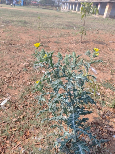
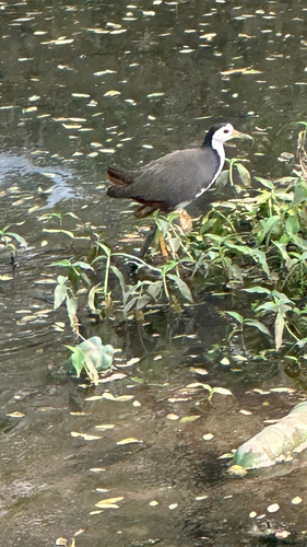
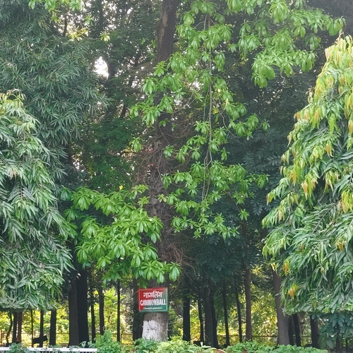

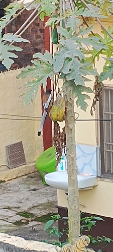
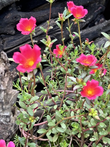
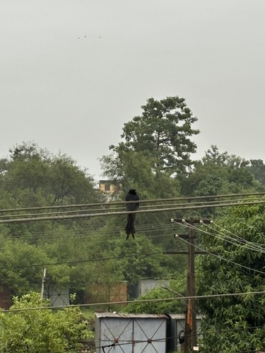
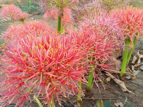
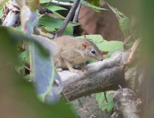
Research-grade observations from iNaturalist (within ~15 mi).
Events
Gallery
Sources
- • Wikipedia
- • iNaturalist
- • Open-Meteo / sunrise-sunset.org
- • Wikipedia Pageviews API