Browse / India / Himachal Pradesh / Chaupal
Chaupal
Himachal Pradeshtown

Chaupal
Total population
10,888
Demographic figures from Ministry of Statistics (India). Overview below cites Wikipedia and may reference a different year.
City facts
Facts from Wikidata (CC0).
Overview
Chaupal is a town and nagar panchayat in the Shimla district of the Indian state of Himachal Pradesh
Read more on WikipediaHistory & geography
Geography
Chopal is situated in the mountainous southwestern part of Shimla district in the western Himalayas. The surrounding region contains extensive forest areas and mountainous terrain. The Chopal Forest Division is administered by the Himachal Pradesh Forest Department. The Chopal Planning Area covers 561 hectares and includes the Nagar Panchayat Chopal together with the revenue mohals of Chopal, Satka, Majhotly, Bodhana and Jaigarh.
Excerpted from the corresponding Wikipedia article (CC BY-SA).
Geography
Coordinates & boundaries from the US Census TIGER/Line shapefiles.
Climate
Air quality
Walkability
Amenities nearby
Wildlife & biodiversity
Earthquake history
Photos
Sights & places nearby
Notable people from here
People born within ~10 km, from Wikidata (CC0). Click any name for their Wikipedia article.
Nearby places in Himachal Pradesh
Geography & sun
Nearby airports
Public attention
Books about this place
Recent natural events nearby
Ground air-quality sensors
Recently spotted species
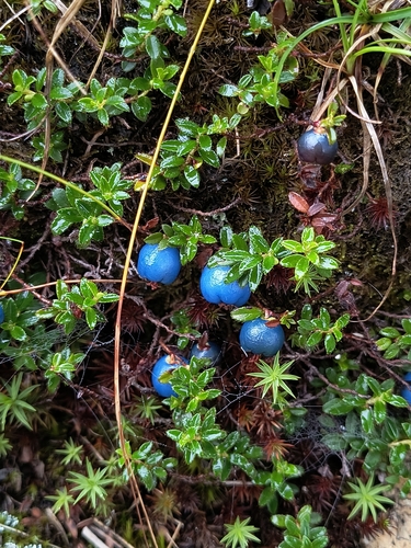
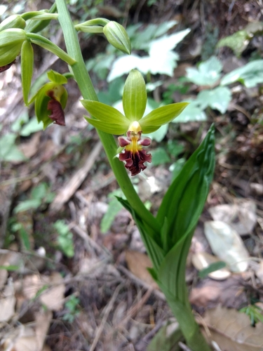
Research-grade observations from iNaturalist (within ~15 mi).
Events
Gallery
Sources
- • Wikipedia
- • Wikidata
- • iNaturalist