Browse / India / Kerala / Chemperi
Chemperi
Keralatown

Chemperi
Demographic figures from Ministry of Statistics (India). Overview below cites Wikipedia and may reference a different year.
City facts
Overview
Chemperi is a town on the bank of the Chemperi River, in the Western Ghat, in the Kannur district of South India. It is characterized by its production and export of rubber and spices, its beautiful hillocks, and its serene streams. Village and Panchayath of Chemperi is Eruvessi. Both Panchayath and Village offices of Eruvessi are located in Chemperi. Also Lourde Matha Basilica, Chemperi is another attraction. Paithalmala and Palakkayam Thattu is also a few kilometres away.
Read more on WikipediaHistory & geography
History
Previously, the land served as the epicenter of people migrating from Travancore to the north districts of Kerala. The modern history of Chemperi starts in the 1930s with the arrival of migrants from the Kottayam district of Kerala. These migrants made Chemperi a big town with almost all the facilities needed to serve its population. More recently, the town has become a local business hub. Eruvessy, which is very near to Chemperi, has a different historical background. It is believed that the inhabitants there descend from 18th century settlers of the Eruvessy region. The culture and belief system of the people of Eruvessy is entirely different from that of the people of Chemperi, though the neighboring communities live harmoniously. Eruvessy is Famous in Hindu religion for Muthappan Temple in the place.
Excerpted from the corresponding Wikipedia article (CC BY-SA).
Geography
Coordinates & boundaries from the US Census TIGER/Line shapefiles.
Climate
Air quality
Walkability
Amenities nearby
Wildlife & biodiversity
Earthquake history
Photos
Sights & places nearby
Notable people from here
Nearby places in Kerala
Geography & sun
Elevation, sunrise/sunset and daylight from Open-Meteo. Solar climatology from NASA POWER.
Nearby airports
Public attention
Pageview totals from the Wikimedia Pageviews API.
Books about this place
Recent natural events nearby
Ground air-quality sensors
Recently spotted species
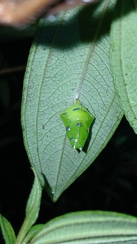
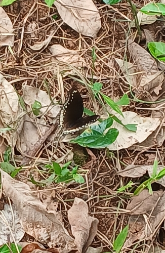
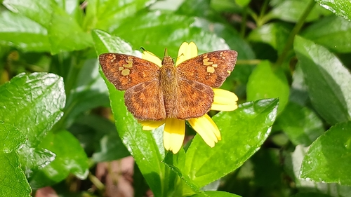
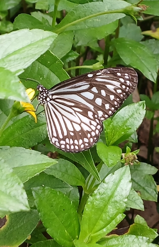
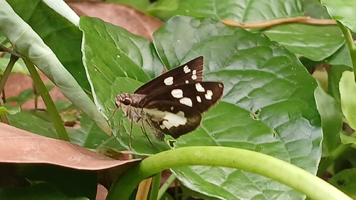
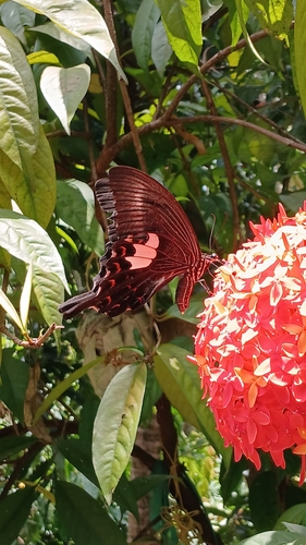
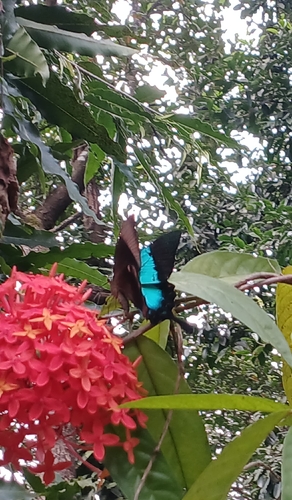
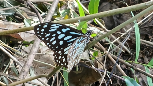
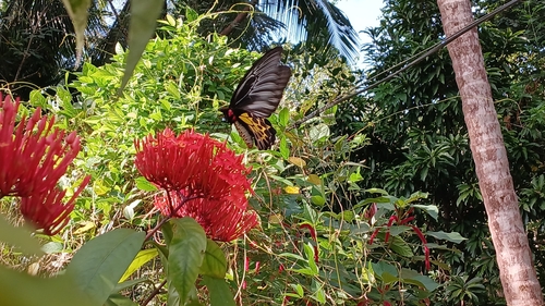
Research-grade observations from iNaturalist (within ~15 mi).
Events
Gallery
Sources
- • Wikipedia
- • iNaturalist
- • Open-Meteo / sunrise-sunset.org
- • Wikipedia Pageviews API