Browse / India / Uttar Pradesh / Chunar
Chunar
Uttar Pradeshtown

Chunar
Total population
37,185
Demographic figures from Ministry of Statistics (India). Overview below cites Wikipedia and may reference a different year.
City facts
Facts from Wikidata (CC0).
Overview
Chunar is a city located in district Mirzapur of Indian state of Uttar Pradesh. It is nearby Mirzapur city. The railway tracks passing through Chunar Junction railway station leads to major destinations of India, including Howrah, Delhi, Tatanagar and Varanasi. National Highway 35 also passes through Chunar. It is connected to the city of Mirzapur and Varanasi by roads and rails. Chunar is well known for its handicraft products made from clay and plaster of paris. It is also well known for its historic Chunar Fort.
Read more on WikipediaHistory & geography
History
The Chunar Fort was established by Maharaja Vikramaditya, the King of Ujjain, in honour of his brother Raja Bharthari's stay. It is believed that Raja Bharthari left his body and took Mahasamadhi at this fort, a servant disciple continues to maintain the place and offers deepam dhupam to the Raja daily (as of 8 November 2011). As per Alha Khand in 1029 AD, King Sahadeo made Chunar fort his capital and established the statue of Naina Yogini in a cave of Vindhya hill and put the name as Nainagarh. King Sahadeo built a stone umbrella based on 52 pillars in the memory of the victory on 52 other kings, inside the fort which is still preserved. He had a brave daughter who got married with Alha the then King of Mahoba whose marriage place in still preserved with the name of Sonava Mandap. Beside this some other stories are also related with the fort as Magna-Deogarh, Ratan Deo's Burj (tower) and King Pithaura who named it Patthargarh as well. In mid July 1537, Humayun left Agra and arrived at Chunar after 5 months and spent 3 months besieging the Chunar fort. Humayun later offered Chunar and Jaunpur to Sher Shah Suri in exchange for Bengal. It has importance due to the stay of the founder of Mughal Dynasty Babar in 1525 AD. Later on Shershah Suri obtained the possession of the fort by marrying the widow wife of Taj Khan Sarang-Khani, the Governor of Ibrahim Lodi. In 1574 AD, Akbar the Great captured the fort and since then it was in the Mughal regime up to 1772 AD. Once emperor Jahangir appointed one Iftikhar Khan as Nazim and in the regime of Aurangzeb one of his Governor's Mirza Bairam built a mosque in 1663 AD. near the Bhairo-Burj. In 1772 AD the fort was captured by the East India Company who established in it a depot of Artillery and ammunition. Later it was taken…
Geography
Chunar city is existing in a triangular from on the right bank of the holy Ganga and the left bank of the Jargo River. It is located at .The city has an average elevation of above sea level, which is average in comparison to the surrounding region. The river Ganga flows throughout the year, helping the city avoid droughts. However, the river Ganga occasionally overflows its bank, causing flood-like situations. In summer, the temperature here varies from 32 °C to 43 °C. On the other hand, in winter (2022) it goes from 25 °C to 9 °C in temperature. and in rainy days, rainfall is 111cms.(annual) approx.+ which counts as average annual rainfall in India (110 cm).
Excerpted from the corresponding Wikipedia article (CC BY-SA).
Geography
Coordinates & boundaries from the US Census TIGER/Line shapefiles.
Climate
Air quality
Walkability
Amenities nearby
Wildlife & biodiversity
Earthquake history
Photos
Sights & places nearby
Notable people from here


People born within ~10 km, from Wikidata (CC0). Click any name for their Wikipedia article.
Geography & sun
Elevation, sunrise/sunset and daylight from Open-Meteo. Solar climatology from NASA POWER.
Nearby airports
Public attention
Pageview totals from the Wikimedia Pageviews API.
Books about Chunar

Search results from Open Library.
Recent natural events nearby
Ground air-quality sensors
Recently spotted species
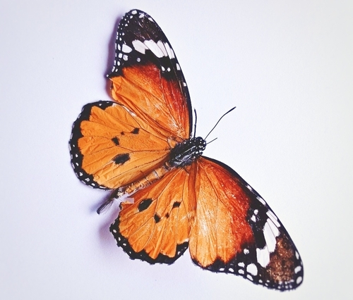
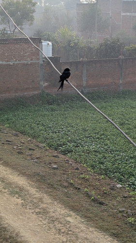
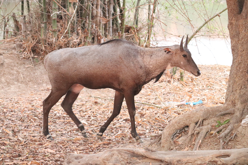
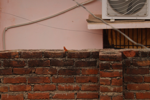
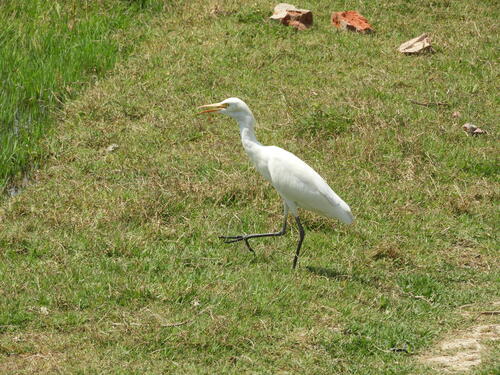
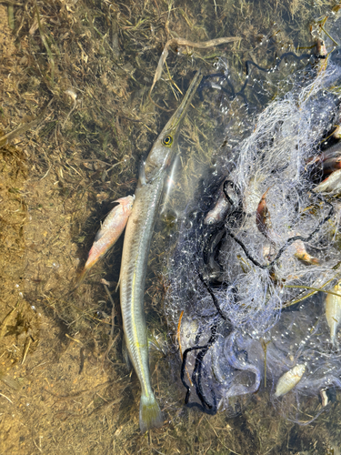
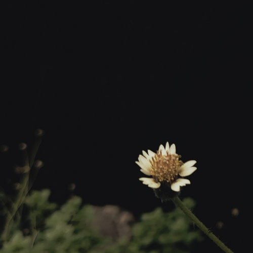
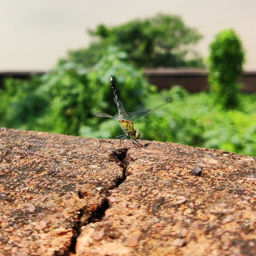
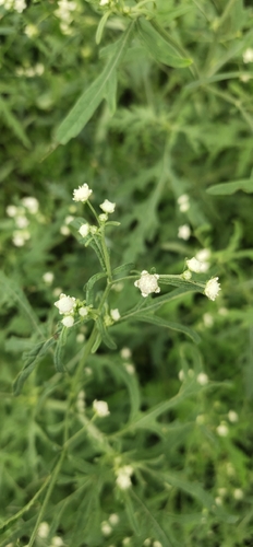
Research-grade observations from iNaturalist (within ~15 mi).
Events
Gallery
Sources
- • Wikipedia
- • Wikidata
- • iNaturalist
- • Open-Meteo / sunrise-sunset.org
- • Wikipedia Pageviews API
- • Open Library