Browse / United States / Indiana / Churubusco
Churubusco
Indianatown

Churubusco
Total population
1,757
Demographic figures from US Census Bureau · ACS 5-year estimates. Overview below cites Wikipedia and may reference a different year.
City facts
Facts from Wikidata (CC0).
Overview
Churubusco ; often shortened to Busco, is a town located near the headwaters of the Eel River in the extreme northeast corner of Whitley County, Indiana, United States, in Smith Township, about 16 miles (26 km) northwest of Fort Wayne. As of the 2020 census, Churubusco had a population of 1,870.
Read more on WikipediaHistory & geography
History
Originally, the area of Churubusco was made up of two towns founded in the 19th century by European Americans: Union and Franklin (in honor of Founding Father Benjamin Franklin) that bordered each other across a railroad track. In the 1840s, the populations of both Franklin and Union grew large enough to qualify each for a post office. Before that time, residents of both towns had to trek 11 miles by foot or horse and buggy to nearby Columbia City to get their mail. Since the towns were in the same location, the Postmaster General ordered the towns to apply for a joint post office. The Postmaster General denied the use of either "Union" and "Franklin" as the new post office name, since both were already used by other Indiana towns. After a community meeting, the residents selected Churubusco for the new post office, named after the site of the 1847 Battle of Churubusco, in Mexico during the Mexican–American War. At the time, after the suggestion of local school teacher Eliza Rich, the townsfolk thought it was as patriotic a name as Union and Franklin, since the United States won a large victory there. More importantly, they were certain no other Indiana town would already have chosen such a unique name. The Churubusco post office has been in operation since 1848. The name Churubusco is a Spanish corruption of an indigenous Nahuatl toponym (place name) referring to a temple area celebrating the Aztec god Huitzilopochtli. It is bordered by the Rio Churubusco in Mexico City. The Spanish-Nahuatl word literally translates as 'place (or temple) of Huitzilopochtli (the left side or south of the hummingbird)'.
Geography
According to the 2010 census, Churubusco has a total area of , all land.
Excerpted from the corresponding Wikipedia article (CC BY-SA).
Demographics & economy
Geography
Coordinates & boundaries from the US Census TIGER/Line shapefiles.
Climate
Air quality
Industrial & pollution facilities
Natural hazard risk
Health (adults)
Age-adjusted prevalence estimates from CDC PLACES (latest release).
Walkability
Amenities nearby
Wildlife & biodiversity
Most-observed species
- Northern CardinalCardinalis cardinalis (Linnaeus, 1758) · Aves7,680
- American RobinTurdus migratorius Linnaeus, 1766 · Aves6,019
- House SparrowPasser domesticus (Linnaeus, 1758) · Aves5,979
- Blue JayCyanocitta cristata (Linnaeus, 1758) · Aves5,795
- White-breasted NuthatchSitta carolinensis Latham, 1790 · Aves5,406
- Downy WoodpeckerDryobates pubescens (Linnaeus, 1766) · Aves5,328
- American GoldfinchSpinus tristis (Linnaeus, 1758) · Aves5,315
- Tufted TitmouseBaeolophus bicolor (Linnaeus, 1766) · Aves5,189
Citizen-science & research observations from the Global Biodiversity Information Facility (GBIF).
Schools
Largest nearby schools
- Churubusco Jr-Sr High SchoolHigh · Churubusco · 647 students · 16.2:1 ratio
- Northern Heights Elementary SchoolElementary · Columbia City · 510 students · 18.2:1 ratio
- Churubusco Elementary SchoolElementary · Churubusco · 485 students · 14.3:1 ratio
- Coesse SchoolElementary · Columbia City · 271 students · 16.9:1 ratio
- Mary Raber Elementary SchoolElementary · Columbia City · 251 students · 16.7:1 ratio
Public K–12 schools within ~10 mi from Urban Institute Education Data Portal (NCES Common Core of Data, 2022).
Earthquake history
Most recent
- M 2.9 — 2024-12-291 km SSE of Hicksville, Ohio
- M 2.6 — 2015-06-126 km NW of Convoy, Ohio
- M 3 — 2012-01-265 km NE of Topeka, Indiana
- M 2.5 — 2004-01-302 km S of Rockford, Ohio
Events from the USGS Earthquake Catalog (global) (FDSN Event Web Service).
Photos
Sights & places nearby
Notable people from here

People born within ~10 km, from Wikidata (CC0). Click any name for their Wikipedia article.
Nearby places in Indiana
Geography & sun
Elevation, sunrise/sunset and daylight from Open-Meteo. Solar climatology from NASA POWER.
Nearby airports
Public attention
Pageview totals from the Wikimedia Pageviews API.
Books about this place
Recent natural events nearby
Ground air-quality sensors
Recently spotted species
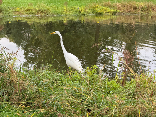
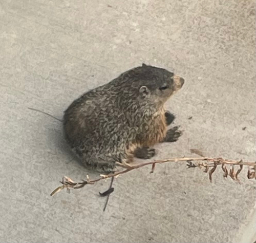
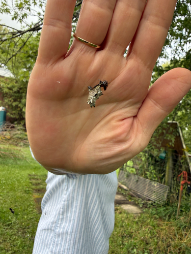
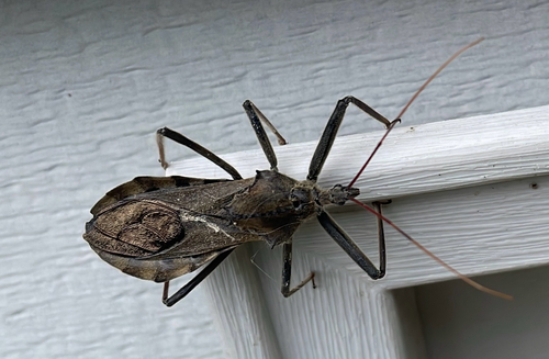

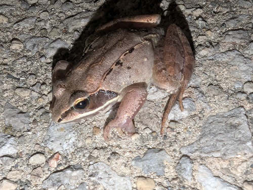
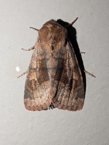
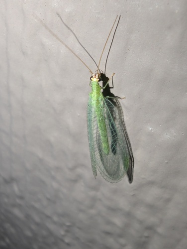
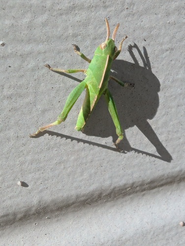
Research-grade observations from iNaturalist (within ~15 mi).
Nearest stream gauge
Events
Gallery
Sources
- • Wikipedia
- • Wikidata
- • USGS Earthquake Catalog (global feed)
- • NCES via Urban Institute Education Data Portal
- • GBIF (Global Biodiversity Information Facility)
- • iNaturalist
- • CDC PLACES
- • Open-Meteo / sunrise-sunset.org
- • Wikipedia Pageviews API