Browse / India / Dadra and Nagar Haveli and Daman and Diu / Daman
Daman
Dadra and Nagar Haveli and Daman and Diucity
Total population
35,000
Air quality index
Demographic figures from Ministry of Statistics (India). Overview below cites Wikipedia and may reference a different year.
City facts
Facts from Wikidata (CC0).
Overview
Daman is a city and the administrative capital of the Indian union territory of Dadra and Nagar Haveli and Daman and Diu. It is a municipal council situated in the Daman district.
Read more on WikipediaHistory & geography
History
The Portuguese Captain-Major Diogo de Melo arrived at the Daman shore by chance in 1523 while sailing towards Ormuz. He was caught in a violent storm and had his boat blown towards the coast of Daman. Shortly after, it was acquired as a Portuguese colony for over 400 years. A larger fort was built in Moti Daman in the 16th century to guard against the Mughals, who ruled the area until the Portuguese arrived. It stands today, most of it preserved in its original form. Today the majority of the municipal government offices are inside the fort. Daman was incorporated into the Republic of India in December 1961 after nearly 400 years of Portuguese colonial rule which had largely led to exploitation of the area and native population. After refusal to vacate the occupied territory of mainland India, the Portuguese surrendered before the Indian Army, while some of its Army personnel deserted their posts and escaped to Karachi, Pakistan. The battle left four Indians dead and 14 wounded; Portuguese casualties were 10 dead and two wounded.
Excerpted from the corresponding Wikipedia article (CC BY-SA).
Geography
Coordinates & boundaries from the US Census TIGER/Line shapefiles.
Climate
Air quality
Current readings from Open-Meteo Air Quality API (Copernicus CAMS European reanalysis).
Walkability
Amenities nearby
Wildlife & biodiversity
Most-observed species
- Red-vented BulbulPycnonotus cafer (Linnaeus, 1766) · Aves273
- Black DrongoDicrurus macrocercus Vieillot, 1817 · Aves226
- House SparrowPasser domesticus (Linnaeus, 1758) · Aves221
- Rock PigeonColumba livia J.F.Gmelin, 1789 · Aves218
- White-throated KingfisherHalcyon smyrnensis (Linnaeus, 1758) · Aves214
- Common MynaAcridotheres tristis (Linnaeus, 1766) · Aves213
- Saxicoloides fulicatus (Linnaeus, 1766)Saxicoloides fulicatus (Linnaeus, 1766) · Aves205
- Oriental Magpie-RobinCopsychus saularis (Linnaeus, 1758) · Aves194
Citizen-science & research observations from the Global Biodiversity Information Facility (GBIF).
Earthquake history
Most recent
- M 4.3 — 2019-12-1319 km NNW of Jawh?r, India
- M 4.1 — 2019-07-2425 km WSW of Shirgaon, India
- M 4 — 2019-03-0111 km WSW of Silvassa, India
Events from the USGS Earthquake Catalog (global) (FDSN Event Web Service).
Photos
Sights & places nearby
Notable people from here


People born within ~10 km, from Wikidata (CC0). Click any name for their Wikipedia article.
Nearby places in Dadra and Nagar Haveli and Daman and Diu
Browse all places in Dadra and Nagar Haveli and Daman and Diu →
Geography & sun
Elevation, sunrise/sunset and daylight from Open-Meteo. Solar climatology from NASA POWER.
Nearby airports
Public attention
Pageview totals from the Wikimedia Pageviews API.
Books about Daman
Search results from Open Library.
Recent natural events nearby
Ground air-quality sensors
Recently spotted species
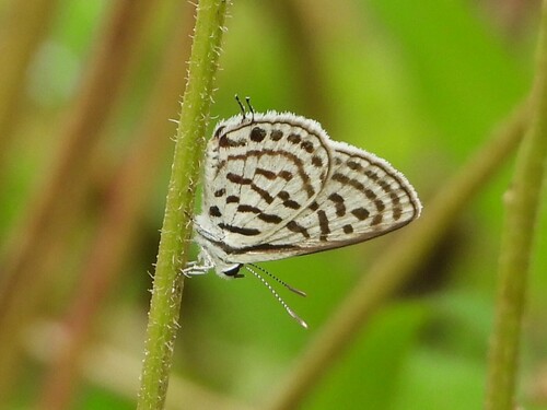
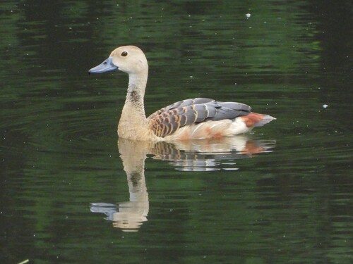
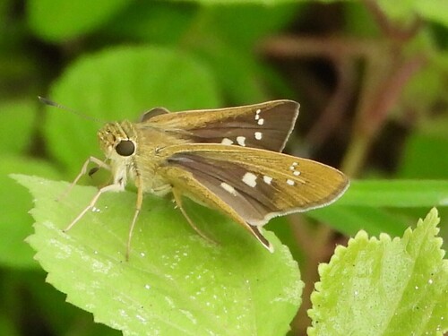
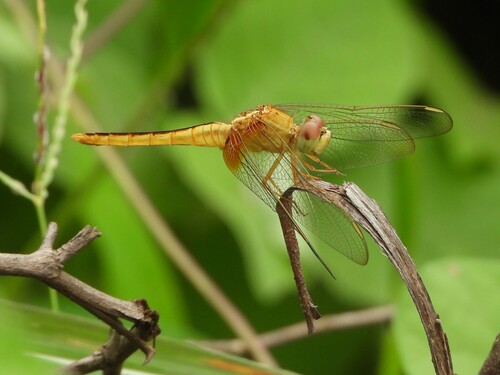
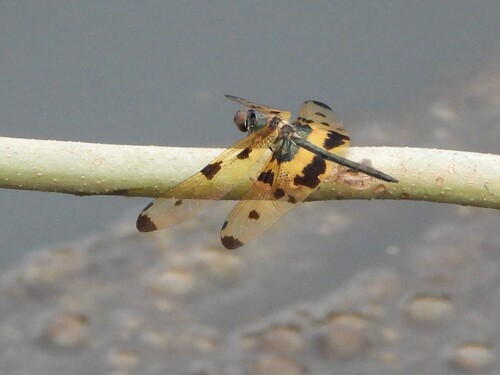
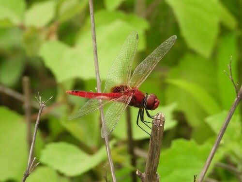
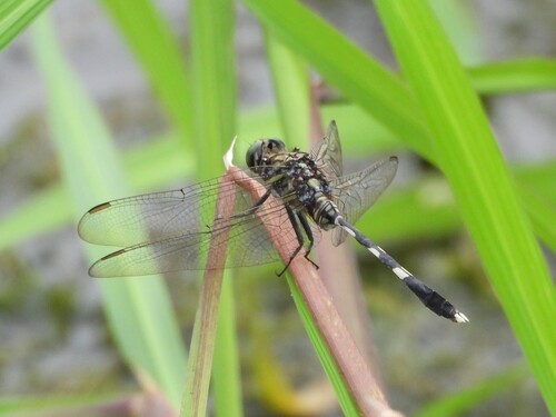
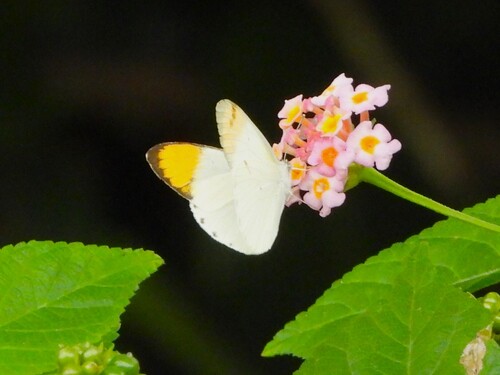
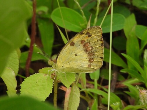
Research-grade observations from iNaturalist (within ~15 mi).
Events
Gallery
Geotagged photos within ~6 miles of Daman, from Wikimedia Commons contributors.
 0.3 mi
 0.4 mi
.jpeg) 0.4 mi
0.4 mi 0.4 mi
 0.5 mi
 0.5 mi
.jpg) 0.5 mi
0.5 mi 0.5 mi
 0.5 mi
 0.5 mi
 0.5 mi
 0.5 mi
 0.5 mi
 0.5 mi
 0.5 mi
 0.5 mi
 0.6 mi
.jpg) 0.7 mi
0.7 mi 0.7 mi
 0.7 mi
 1.3 mi
 1.6 mi
 1.7 mi
 2 mi
2 miPhotos via Wikimedia Commons — see each image page for license & attribution.
Sources
- • Wikipedia
- • Wikimedia Commons
- • Wikidata
- • Open-Meteo Air Quality (CAMS)
- • USGS Earthquake Catalog (global feed)
- • GBIF (Global Biodiversity Information Facility)
- • iNaturalist
- • Open-Meteo / sunrise-sunset.org
- • Wikipedia Pageviews API
- • Open Library