Browse / India / Jharkhand / Deoghar
Deoghar
Jharkhandcity

Deoghar
Total population
203,100
Demographic figures from Ministry of Statistics (India). Overview below cites Wikipedia and may reference a different year.
City facts
Facts from Wikidata (CC0).
Overview
Deoghar is a city and a municipal corporation in Deoghar district in the Indian state of Jharkhand. It is also the administrative headquarters of Deoghar district. It is a holy place of Hinduism. The city is primarily known for Baidyanath Temple, one of the 12 Jyotirlingas of Shiva, one of the principal deities in Hinduism. The sacred temples of the city make this a place for pilgrimage and tourists. The city is very sacred to the followers of Hinduism, regardless of sects.
Read more on WikipediaHistory & geography
Geography
Deoghar is located at . It has an average elevation of 255 metres (833 feet). It is a part of the Indian peninsular plateau which forms a part of the oldest landmass on Earth, Gondwana land. Deoghar is situated on the bank of Ajay river (which originates from Batpar village of Jamui district in Bihar) and its tributary Dadhawa river (which originates from Purnia Lake near Karangarh village in Jamui district of Bihar). The city is surrounded with various small relict hills such as Dighriya Pahaad, Nandan Pahaad, Trikuti Pahaad, and Tapovan Pahaad. Dighriya Pahaad forms the western boundary of the city and there is a national park being constructed on these hills. Nandan Pahaad is a children's amusement place and serves as one of the principal recreational places in the city. Tapovan Pahaad has its cultural relevance found in Hindu scriptures. It is one of the amusement places in the city and serves as a habitat for monkeys. Deoghar has an area of .
Excerpted from the corresponding Wikipedia article (CC BY-SA).
Geography
Coordinates & boundaries from the US Census TIGER/Line shapefiles.
Climate
Air quality
Walkability
Amenities nearby
Wildlife & biodiversity
Earthquake history
Photos
Sights & places nearby
Notable people from here


People born within ~10 km, from Wikidata (CC0). Click any name for their Wikipedia article.
Geography & sun
Elevation, sunrise/sunset and daylight from Open-Meteo. Solar climatology from NASA POWER.
Nearby airports
Public attention
Pageview totals from the Wikimedia Pageviews API.
Books about this place
Recent natural events nearby
Ground air-quality sensors
Recently spotted species


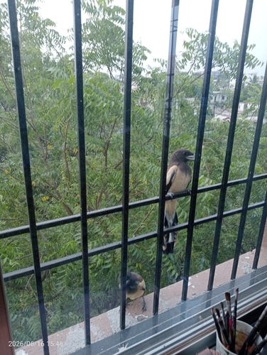
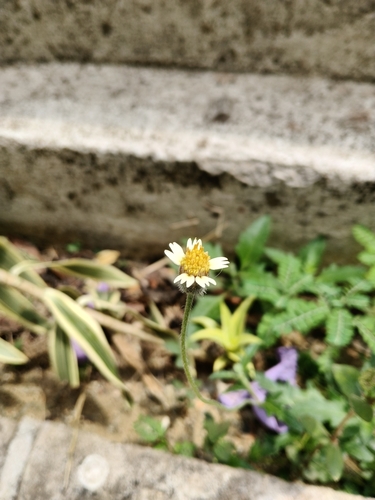
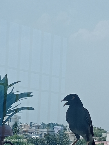
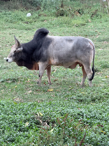
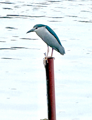
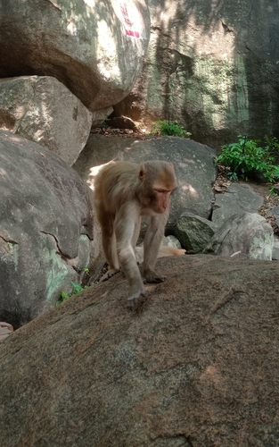
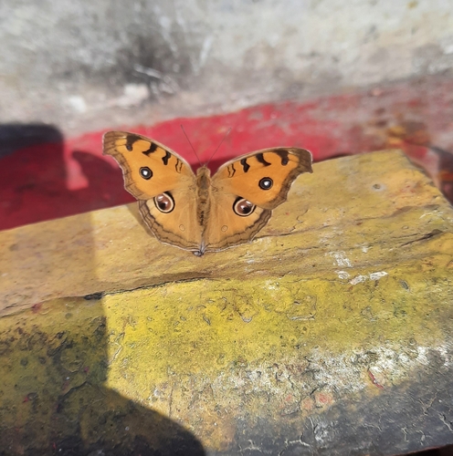
Research-grade observations from iNaturalist (within ~15 mi).
Events
Gallery
Sources
- • Wikipedia
- • Wikidata
- • iNaturalist
- • Open-Meteo / sunrise-sunset.org
- • Wikipedia Pageviews API