Browse / India / Madhya Pradesh / Dewas
Dewas
Madhya Pradeshcity

Dewas
Total population
200,000
Demographic figures from Ministry of Statistics (India). Overview below cites Wikipedia and may reference a different year.
City facts
Overview
Dewas is a city in the Malwa region of the Indian state of Madhya Pradesh. The municipality was formerly the seat of two 15-Gun Salute state princely states during the British Raj, Dewas Junior state and Dewas Senior state, ruled by the Pawar clan of the Marathas. The city is the administrative capital of Dewas district. Dewas is an industrialised city and houses a government bank note press.
Read more on WikipediaHistory & geography
History
Dewas was originally established as a sovereign Maratha territory in the first half of the 18th century. While it later became the capital of two princely states during the British era, its foundations were laid by the brothers Tukoji Rao (Senior) and Jivaji Rao (Junior) of the Pawar clan. The Pawar dynasty of Dewas emerged as a prominent military power during the expansion of the Maratha Empire. Members of the clan served with distinction as early as the reign of Chhatrapati Shivaji Maharaj, participating in the foundational battles for Swarajya. Their role grew significantly under Chhatrapati Shahu, during which they fought in numerous campaigns against the Nizams , Mughals and the Portuguese on the western coast. In recognition of their unwavering loyalty and valor in these conflicts, the family was honored with the hereditary titles 'Sena Sapt Sahasri' (Commander of Seven Thousand) and 'Vishwas Rao' (The Trustworthy). By the early 18th century, the Pawar brothers, Tukoji Rao (Senior) and Jivaji Rao (Junior), had established themselves as top-tier commanders under Peshwa Baji Rao I. They were instrumental in the Maratha conquest of the Malwa region, leading successful military charges that broke local resistance and secured Maratha dominance in central India. Following these victories, the territory of Dewas was granted to the brothers in 1728. They initially ruled the region jointly before dividing the administration between their respective branches. This unique arrangement persisted even in the capital town of Dewas, where the two sides of the main street were managed by separate administrations—each with its own systems for water and lighting—until the states were eventually merged in the 20th century. In 1901, the senior branch had an area of and a…
Geography
Dewas lies northeast of Indore, southeast of Ujjain, and southwest of Shajapur. The city is located on the level plains of the Malwa plateau; to the south, the land rises gently to the Vindhya Range, which is the source of the Chambal and Kali Sindh rivers that flow north through the district on their way to the Ganges. The main river in Dewas is Kshipra.
Excerpted from the corresponding Wikipedia article (CC BY-SA).
Geography
Coordinates & boundaries from the US Census TIGER/Line shapefiles.
Climate
Air quality
Walkability
Amenities nearby
Wildlife & biodiversity
Earthquake history
Photos
Sights & places nearby
Notable people from here
Nearby places in Madhya Pradesh
- Hatpipliya20.5 mi away
- Maksi21.2 mi away
- Ujjain23.8 mi away · pop. 100,000
- Bagli29.1 mi away · pop. 1,000
- Simrol30.7 mi away
- Betma34.1 mi away · pop. 5,000
- Pithampur34.2 mi away · pop. 126,200
- Shajapur35 mi away · pop. 5,000
- Barnagar43.5 mi away
- Mohan Badodiya47.8 mi away
- Kannod48.4 mi away · pop. 1,000
- Barwaha49 mi away · pop. 1,000
Geography & sun
Elevation, sunrise/sunset and daylight from Open-Meteo. Solar climatology from NASA POWER.
Nearby airports
Public attention
Pageview totals from the Wikimedia Pageviews API.
Books about Dewas

Search results from Open Library.
Recent natural events nearby
Ground air-quality sensors
Recently spotted species
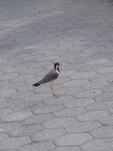
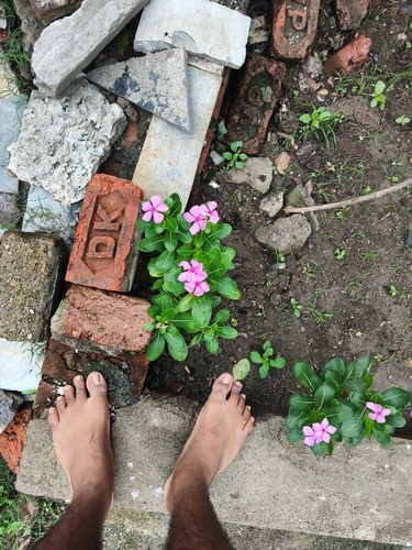
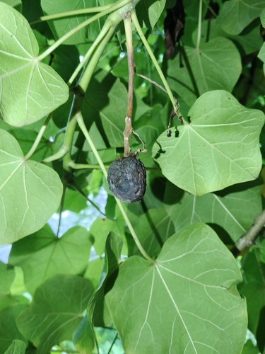
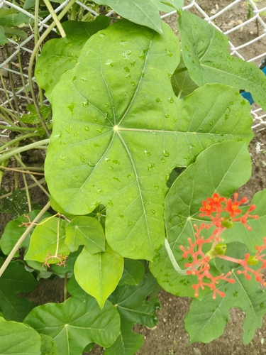
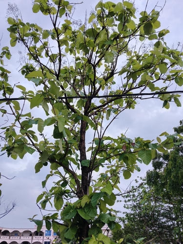
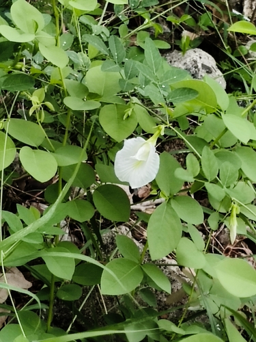
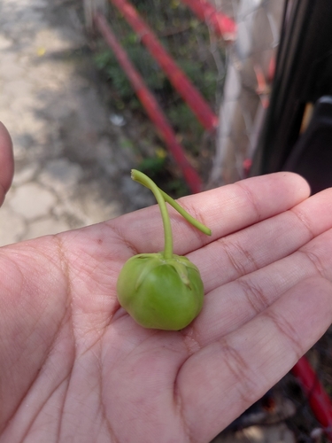
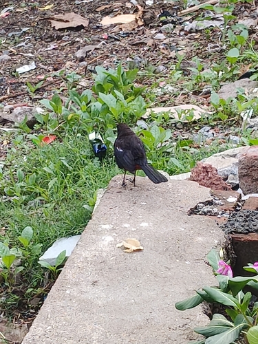
Research-grade observations from iNaturalist (within ~15 mi).
Events
Gallery
Sources
- • Wikipedia
- • iNaturalist
- • Open-Meteo / sunrise-sunset.org
- • Wikipedia Pageviews API
- • Open Library