Browse / United States / Indiana / Elkhart
Elkhart
Indianacity

Elkhart
Total population
53,733
Median home value
$139,500
Bachelor's+
Median income
$51,028
Demographic figures from US Census Bureau · ACS 5-year estimates. Overview below cites Wikipedia and may reference a different year.
City facts
Facts from Wikidata (CC0).
Overview
Elkhart is a city in Elkhart County, Indiana, United States. The population was 53,923 at the 2020 census. The city is located 15 miles (24 km) east of South Bend, Indiana. It is the most populous city in the Elkhart–Goshen metropolitan area, which in turn is part of the South Bend–Elkhart–Mishawaka combined statistical area, in a region commonly known as Michiana.
Read more on WikipediaHistory & geography
History
In 1829, the Village of Pulaski was established, consisting of a post office, mill, and a few houses on the north side of the St. Joseph River. Dr. Havilah Beardsley moved westward from Ohio, and on August 9, 1821, purchased one square mile of land from Pierre Moran (a half-French, half-Native American Potawatomi Chief) in order to establish a rival town named Elkhart. The town of Elkhart was first plotted with 48 lots on April 30, 1832. In 1839, the Pulaski Post Office was officially changed to Elkhart. Elkhart was incorporated as a town in 1858 and in 1875 as a city. Elkhart County was founded exclusively by immigrants from New England. These were old-stock "Yankee" immigrants, that is to say, they were descended from the English Puritans who settled New England in the 1600s. The completion of the Erie Canal caused a surge in New England immigration to what was then the Northwest Territory. The end of the Black Hawk War led to an additional surge of immigration, once again coming almost exclusively from the six New England states as a result of overpopulation combined with land shortages in that region. Some of these later settlers were from upstate New York and had parents who had moved to that region from New England shortly after the Revolutionary War. New Englanders and New England transplants from upstate New York were the vast majority of Elkhart County's inhabitants during the first several decades of its history. These settlers were primarily members of various Protestant religions. Many inhabitants of Elkhart County fought in the Union Army during the Civil War. In the late 1880s and early 1890s Irish and German migrants began moving into Elkhart County. Most of these later immigrants did not move directly from Ireland and Germany, but rather from…
Geography
According to the 2010 census, Elkhart has a total area of , of which (or 96.04%) is land and (or 3.96%) is water. The city sits on the St. Joseph and Elkhart Rivers. The Elkhart River drains into the St. Joseph at Island Park just north of downtown. There are also numerous small lakes around the city. Elkhart has a humid continental climate (Köppen Dfa), with cold, snowy winters and warm, humid summers. |date=November 2011 }}
Excerpted from the corresponding Wikipedia article (CC BY-SA).
Demographics & economy
Race & ethnicity
Source: US Census Bureau — American Community Survey, 5-year estimates.
Geography
Coordinates & boundaries from the US Census TIGER/Line shapefiles.
Climate
Air quality
Industrial & pollution facilities
Natural hazard risk
Health (adults)
Age-adjusted prevalence estimates from CDC PLACES (latest release).
Walkability
Amenities nearby
Wildlife & biodiversity
Most-observed species
- Northern CardinalCardinalis cardinalis (Linnaeus, 1758) · Aves15,781
- American RobinTurdus migratorius Linnaeus, 1766 · Aves14,550
- Blue JayCyanocitta cristata (Linnaeus, 1758) · Aves11,743
- Canada Goose (canadensis Group)Branta canadensis (Linnaeus, 1758) · Aves10,525
- House SparrowPasser domesticus (Linnaeus, 1758) · Aves10,448
- American GoldfinchSpinus tristis (Linnaeus, 1758) · Aves10,192
- Black-capped ChickadeePoecile atricapillus (Linnaeus, 1766) · Aves9,902
- MallardAnas platyrhynchos Linnaeus, 1758 · Aves9,715
Citizen-science & research observations from the Global Biodiversity Information Facility (GBIF).
Schools
Largest nearby schools
- Elkhart High SchoolHigh · Elkhart · 3,325 students · 17:1 ratio
- Concord Community High SchoolHigh · Elkhart · 1,785 students · 17.3:1 ratio
- Goshen Intermediate SchoolMiddle · Goshen · 933 students · 15.8:1 ratio
- Concord Junior High SchoolMiddle · Elkhart · 841 students · 16.2:1 ratio
- Concord Intermediate SchoolMiddle · Elkhart · 816 students · 16.3:1 ratio
- North Side Middle SchoolMiddle · Elkhart · 627 students · 16.1:1 ratio
- West Side Middle SchoolMiddle · Elkhart · 582 students · 17.6:1 ratio
- Jimtown Intermediate SchoolElementary · Elkhart · 576 students · 18:1 ratio
Public K–12 schools within ~10 mi from Urban Institute Education Data Portal (NCES Common Core of Data, 2022).
Earthquake history
Most recent
- M 3.3 — 2015-06-305 km NNE of Burlington, Michigan
- M 4.2 — 2015-05-025 km S of Galesburg, Michigan
- M 3 — 2012-01-265 km NE of Topeka, Indiana
Events from the USGS Earthquake Catalog (global) (FDSN Event Web Service).
Photos
Sights & places nearby
Notable people from here


People born within ~10 km, from Wikidata (CC0). Click any name for their Wikipedia article.
Nearby places in Indiana
- Simonton Lake4.4 mi away · pop. 4,248
- Mishawaka10.5 mi away · pop. 51,021
- Goshen10.6 mi away · pop. 34,420
- Indian Village14 mi away · pop. 97
- Notre Dame14.3 mi away
- Gilmer Park15.7 mi away
- South Bend15.9 mi away · pop. 102,944
- Benton16.1 mi away · pop. 384
- Millersburg17.8 mi away · pop. 1,077
- Shipshewana Lake18.2 mi away
- Ardmore18.7 mi away · pop. 1,810
- Bremen19.4 mi away · pop. 4,642
Geography & sun
Elevation, sunrise/sunset and daylight from Open-Meteo. Solar climatology from NASA POWER.
Nearby airports
Public attention
Pageview totals from the Wikimedia Pageviews API.
Books about Elkhart



Search results from Open Library.
Recent natural events nearby
Ground air-quality sensors
Recently spotted species
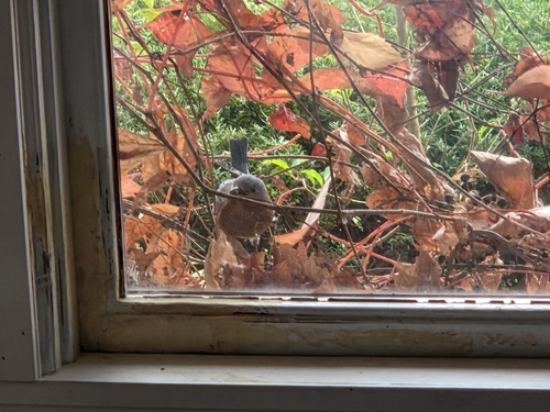

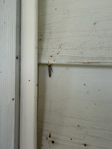

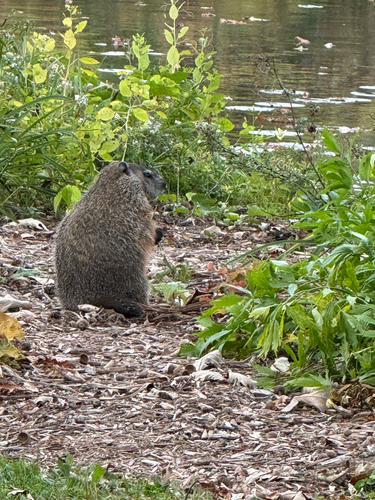
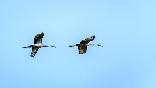
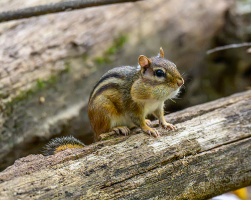

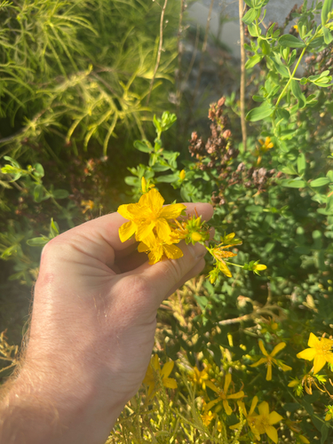
Research-grade observations from iNaturalist (within ~15 mi).
Nearest stream gauge
Events
Gallery
Sources
- • Wikipedia
- • US Census Bureau (ACS 5-year estimates)
- • Wikidata
- • USGS Earthquake Catalog (global feed)
- • NCES via Urban Institute Education Data Portal
- • GBIF (Global Biodiversity Information Facility)
- • iNaturalist
- • CDC PLACES
- • Open-Meteo / sunrise-sunset.org
- • Wikipedia Pageviews API
- • Open Library