Browse / United States / Indiana / English
English
Indianatown

English
Total population
1,008
Median home value
$94,700
Bachelor's+
Median income
$35,991
Demographic figures from US Census Bureau · ACS 5-year estimates. Overview below cites Wikipedia and may reference a different year.
- Heat Advisory · ModerateHeat Advisory issued September 17 at 12:02PM EDT until September 18 at 8:00PM EDT by NWS Louisville KY
Source: NOAA National Weather Service.
City facts
Facts from Wikidata (CC0).
Overview
English is a town in and the county seat of Crawford County, Indiana, United States. The population was 685 at the 2020 census, making it one of Indiana's smallest county seats. The settlement was named Hartford (1839–1884) prior to its incorporation.
Read more on WikipediaHistory & geography
History
English was called Hartford when it was laid out in 1839. When the town incorporated in 1884 it was renamed English for William Hayden English, an Indiana politician of the day. On December 28, 1893, the county seat of Crawford County was relocated from Leavenworth to English. The first community was located at the confluence of two small rivers (Bird Dog Creek and Brownville Creek) with Blue River. It was a thriving community during the first half of the 20th century, with population rising to above 800 by 1950, but economic activity slowed thereafter (partly due to recurring flooding), and commercial establishments closed. Most residents now live on the higher ground surrounding the original settlement. A large swath of the previous inhabited level area has been converted into the Lucas Oil Golf Course. From 1959 to 1990, English suffered six floods. The town council decided that the only solution to the flooding problem was to move the town. of high ground were purchased, a partnership was formed with Lincoln Hills Development Corporation, and a major portion of the town was relocated.
Geography
According to the 2010 United States census, English has a total area of , all land. The climate in this area is characterized by highly variable fluctuations in weather with hot, humid summers and frigidly cold, generally wet winters. According to the Köppen Climate Classification system, English previously had a humid continental climate, but as of the 2016 update it now has a humid subtropical climate due to climate change. As Southern Indiana is in a transitional zone between these two areas, localized climate does not firmly adhere to either classification.
Excerpted from the corresponding Wikipedia article (CC BY-SA).
Demographics & economy
Race & ethnicity
Source: US Census Bureau — American Community Survey, 5-year estimates.
Geography
Coordinates & boundaries from the US Census TIGER/Line shapefiles.
Climate
Current forecast
Forecast for English, IN from NOAA NWS API.
Air quality
Industrial & pollution facilities
Natural hazard risk
Health (adults)
Age-adjusted prevalence estimates from CDC PLACES (latest release).
Walkability
Amenities nearby
Wildlife & biodiversity
Most-observed species
- American CrowCorvus brachyrhynchos C.L.Brehm, 1822 · Aves847
- Northern CardinalCardinalis cardinalis (Linnaeus, 1758) · Aves723
- Turkey VultureCathartes aura (Linnaeus, 1758) · Aves675
- Tufted TitmouseBaeolophus bicolor (Linnaeus, 1766) · Aves658
- Blue JayCyanocitta cristata (Linnaeus, 1758) · Aves643
- Red-bellied WoodpeckerMelanerpes carolinus (Linnaeus, 1758) · Aves642
- Carolina WrenThryothorus ludovicianus (Latham, 1790) · Aves504
- Carolina ChickadeePoecile carolinensis (Audubon, 1834) · Aves501
Citizen-science & research observations from the Global Biodiversity Information Facility (GBIF).
Schools
Largest nearby schools
- Crawford County High SchoolHigh · Marengo · 381 students · 12.7:1 ratio
- Crawford County Middle SchoolMiddle · Marengo · 296 students · 12.9:1 ratio
- East Crawford Elementary SchoolElementary · Milltown · 272 students · 18.1:1 ratio
- West Crawford Elementary SchoolElementary · Eckerty · 184 students · 15.3:1 ratio
Public K–12 schools within ~10 mi from Urban Institute Education Data Portal (NCES Common Core of Data, 2022).
Earthquake history
Photos
Sights & places nearby
Notable people from here

People born within ~10 km, from Wikidata (CC0). Click any name for their Wikipedia article.
Nearby places in Indiana
Geography & sun
Elevation, sunrise/sunset and daylight from Open-Meteo. Solar climatology from NASA POWER.
Nearby airports
Public attention
Pageview totals from the Wikimedia Pageviews API.
Books about English





Search results from Open Library.
Recent natural events nearby
Ground air-quality sensors
Recently spotted species

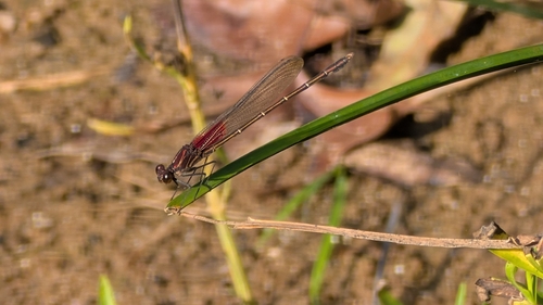
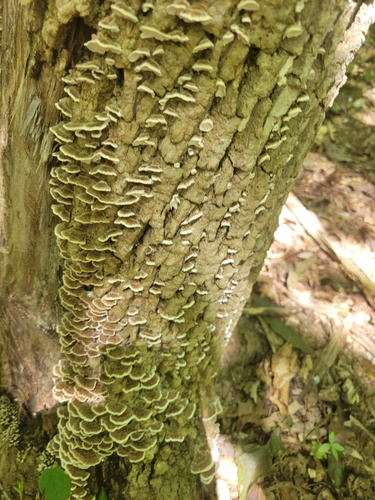


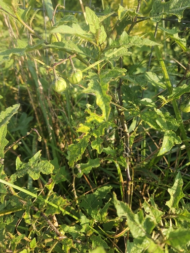

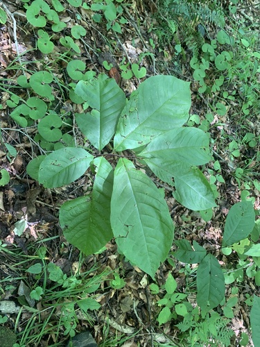
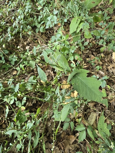
Research-grade observations from iNaturalist (within ~15 mi).
Nearest stream gauge
Events
Gallery
Sources
- • Wikipedia
- • US Census Bureau (ACS 5-year estimates)
- • NOAA National Weather Service
- • Wikidata
- • NCES via Urban Institute Education Data Portal
- • GBIF (Global Biodiversity Information Facility)
- • iNaturalist
- • CDC PLACES
- • Open-Meteo / sunrise-sunset.org
- • Wikipedia Pageviews API
- • Open Library