Browse / United States / Indiana / Franklin
Franklin
Indianacity

Franklin
Total population
26,168
Median home value
$231,500
Bachelor's+
Median income
$82,380
Air quality index
Demographic figures from US Census Bureau · ACS 5-year estimates. Overview below cites Wikipedia and may reference a different year.
- Heat Advisory · ModerateHeat Advisory issued June 28 at 3:23PM EDT until July 2 at 8:00PM EDT by NWS Indianapolis IN
Source: NOAA National Weather Service.
City facts
Sister cities
Facts from Wikidata (CC0).
Overview
Franklin is a city in Johnson County, Indiana, United States. As of the 2020 census, Franklin had a population of 25,313. Located about 20 miles (32 km) south of Indianapolis, the city is the county seat of Johnson County. The site of Franklin College, the city attracts numerous regional sports fans for the college teams, as well as audiences for its art events.
Read more on WikipediaHistory & geography
History
Franklin was platted in 1823. It was named after Benjamin Franklin. The Franklin post office was established in 1824. Franklin was incorporated as a city in 1861. Bethel African Methodist Episcopal Church, Franklin College Library (Shirk Hall), Franklin College-Old Main, Franklin Commercial Historic District, Franklin Senior High School, Greenlawn Cemetery, Herriott House, Johnson County Courthouse Square, Martin Place Historic District, Masonic Temple, and August Zeppenfeld House are listed on the National Register of Historic Places. The small town became nationally famous during the 1920s due to the outstanding athletic achievements of the local high school basketball team, who became known as the Franklin Wonder Five. A small group who had played together as boys, led by Fuzzy Vandivier and coached by Ernest "Griz" Wagner, they became the first high school team to win the state championship for three consecutive years (1920–22). The youths followed Wagner to the local Franklin College, where he became coach and they earned the title of national college champions in 1923. They turned down an offer to play against the top professional team, the New York Celtics. The December 2, 1940 issue of Life magazine included a photo essay by Bernard Hoffman entitled, "A Small Town's Saturday Night," depicting farmers Glen and Norris Dunn and family on a typical Saturday night in Franklin: Dad getting a hair cut, and the kids seeing a movie at the Artcraft, people at the drugstore, as well as photos of other social spots, such as Nick's Candy Kitchen and the town's "lovers' lane." The nighttime photo showing double-parked cars and thick crowds on Jefferson Street is perhaps the best known of the set. According to the late-20th century critic James Guimond in his book on…
Geography
Franklin is located south of Indianapolis and north of Louisville, Kentucky, on I-65 and U.S. 31. According to the 2010 census, Franklin has a total area of , all land. There are three small waterways in Franklin: Canary Creek and Hurricane Creek flow into Young's Creek. These creeks flood frequently. Their small floodplain has been adapted as the basis of Franklin's green walkways and parks, which extend the entire length of the town. Hurricane Creek empties into Young's Creek in Province Park, downtown, which flows into the Big Blue River farther South. A buried stream, Roaring Run, flows beneath Franklin. In the June 2008 Midwest floods, all of these streams overflowed, damaging or destroying more than 100 houses throughout Franklin, including some entire neighborhoods. Since 2008, The city of Franklin has bought many of the flood-damaged homes, and cleared them to make more green space, and expand the parks system. Province Park is home to a small family cemetery of the George King family, one of the original founding families of Franklin. The climate in this area is characterized by hot, humid summers and generally mild to cool winters. According to the Köppen Climate Classification system, Franklin has a humid subtropical climate, abbreviated "Cfa" on climate maps.
Excerpted from the corresponding Wikipedia article (CC BY-SA).
Demographics & economy
Race & ethnicity
Source: US Census Bureau — American Community Survey, 5-year estimates.
Geography
Coordinates & boundaries from the US Census TIGER/Line shapefiles.
Climate
Current forecast
Forecast for Franklin, IN from NOAA NWS API.
Air quality
Current readings from Open-Meteo Air Quality API (Copernicus CAMS European reanalysis).
Industrial & pollution facilities
Natural hazard risk
Health (adults)
Age-adjusted prevalence estimates from CDC PLACES (latest release).
Walkability
Amenities nearby
Wildlife & biodiversity
Most-observed species
- Northern CardinalCardinalis cardinalis (Linnaeus, 1758) · Aves7,994
- American RobinTurdus migratorius Linnaeus, 1766 · Aves7,530
- Mourning DoveZenaida macroura (Linnaeus, 1758) · Aves6,614
- House FinchHaemorhous mexicanus (P.L.Statius Müller, 1776) · Aves5,857
- American CrowCorvus brachyrhynchos C.L.Brehm, 1822 · Aves5,781
- Carolina ChickadeePoecile carolinensis (Audubon, 1834) · Aves5,688
- European StarlingSturnus vulgaris Linnaeus, 1758 · Aves5,534
- House SparrowPasser domesticus (Linnaeus, 1758) · Aves5,497
Citizen-science & research observations from the Global Biodiversity Information Facility (GBIF).
Schools
Largest nearby schools
- Center Grove High SchoolHigh · Greenwood · 2,851 students · 21.1:1 ratio
- Whiteland Community High SchoolHigh · Whiteland · 1,879 students · 16.8:1 ratio
- Franklin Community High SchoolHigh · Franklin · 1,610 students · 17.7:1 ratio
- Clark Pleasant Middle SchoolMiddle · Greenwood · 1,553 students · 15.4:1 ratio
- Center Grove Middle School CentralMiddle · Greenwood · 1,213 students · 19.9:1 ratio
- Greenwood Community High SchHigh · Greenwood · 1,175 students · 16.8:1 ratio
- Greenwood Middle SchoolMiddle · Greenwood · 948 students · 17.6:1 ratio
- Maple Grove Elementary SchoolElementary · Bargersville · 782 students · 18.6:1 ratio
Public K–12 schools within ~10 mi from Urban Institute Education Data Portal (NCES Common Core of Data, 2022).
Earthquake history
Most recent
- M 3.8 — 2004-09-124 km NW of Manilla, Indiana
Events from the USGS Earthquake Catalog (global) (FDSN Event Web Service).
Photos
Sights & places nearby
Notable people from here


People born within ~10 km, from Wikidata (CC0). Click any name for their Wikipedia article.
Nearby places in Indiana
Geography & sun
Elevation, sunrise/sunset and daylight from Open-Meteo. Solar climatology from NASA POWER.
Nearby airports
Public attention
Pageview totals from the Wikimedia Pageviews API.
Books about Franklin

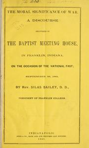



Search results from Open Library.
Recent natural events nearby
Ground air-quality sensors
Recently spotted species
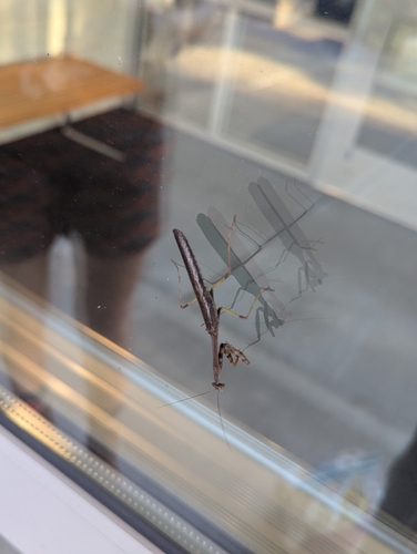
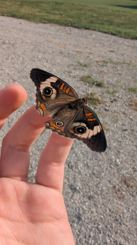
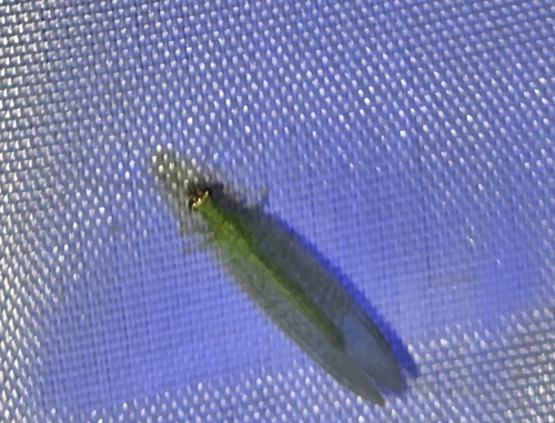
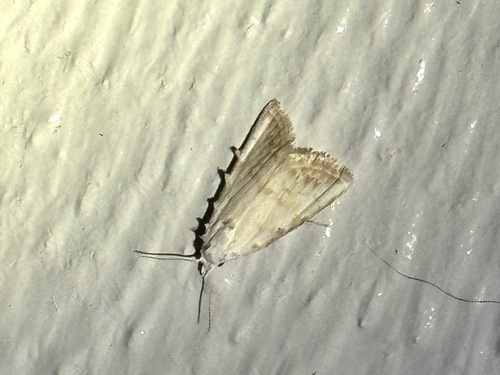
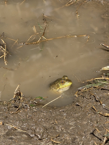
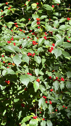
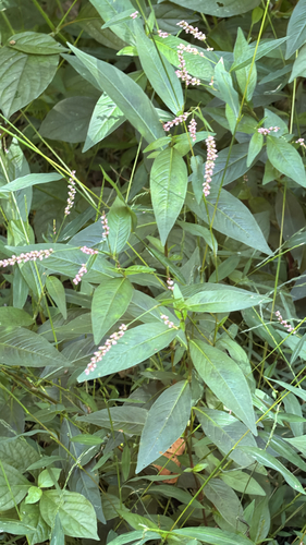
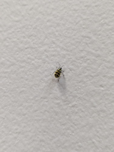
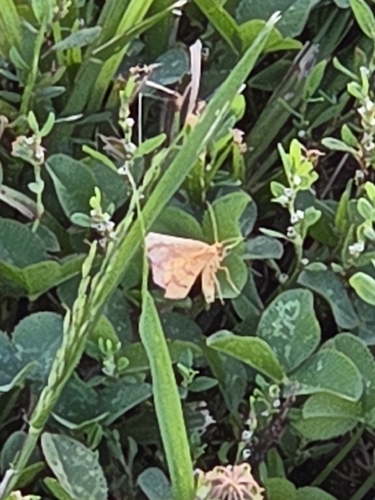
Research-grade observations from iNaturalist (within ~15 mi).
Nearest stream gauge
Live readings from USGS NWIS · measured 2026-09-18 09:15 UTC.
Events
Gallery
Geotagged photos within ~6 miles of Franklin, from Wikimedia Commons contributors.
 0.7 mi
 0.7 mi
 0.8 mi
 0.8 mi
 0.8 mi
 0.8 mi
 0.9 mi
 1 mi
1 mi 1 mi
1 mi 1 mi
1 mi 1 mi
1 mi 1 mi
1 mi 1 mi
1 mi 1 mi
1 mi 1 mi
1 mi 1 mi
1 mi 1 mi
1 mi 1 mi
1 mi 1 mi
1 mi 1 mi
1 mi 1 mi
1 mi 1 mi
1 mi 1 mi
1 mi 1 mi
1 miPhotos via Wikimedia Commons — see each image page for license & attribution.
Sources
- • Wikipedia
- • US Census Bureau (ACS 5-year estimates)
- • NOAA National Weather Service
- • Wikimedia Commons
- • Wikidata
- • Open-Meteo Air Quality (CAMS)
- • USGS Earthquake Catalog (global feed)
- • USGS NWIS (water data)
- • NCES via Urban Institute Education Data Portal
- • GBIF (Global Biodiversity Information Facility)
- • iNaturalist
- • CDC PLACES
- • Open-Meteo / sunrise-sunset.org
- • Wikipedia Pageviews API
- • Open Library