Browse / India / Jharkhand / Gumla
Gumla
Jharkhandtown

Gumla
Total population
5,000
Demographic figures from Ministry of Statistics (India). Overview below cites Wikipedia and may reference a different year.
City facts
Facts from Wikidata (CC0).
Overview
Gumla is a city which is the district headquarters in the Gumla subdivision of the Gumla district in the state of Jharkhand, India.
Read more on WikipediaHistory & geography
History
Gumla began as a hamlet. A week-long "Cow Fair" (Gau-Mela) took place every year, where items in daily use (utensils, ornaments, grain and sometimes cattle) were sold or bartered. Since these items were only available at the fair, people would keep lists during the year of what they needed. The hamlet's population grew, and it became a village named "Gumla" (a derivative of Gau–Mela). During the medieval era, the Chhotanagpur region was ruled by the kings of the Nagvanshi dynasty and Baraik Devenandan Singh ruled the Gumla region. During British rule in India Gumla was in Lohardaga district, and in 1800 there was a revolt against the Raj. In 1807, the Oraons of Barway (west of Gumla) murdered their landlord from Srinagar, and the uprising spread throughout Gumla. In 1818, Bakhtar Say reportedly played a prominent role. In 1843, Gumla became part of Bishunpur province. The province, which was abolished in 1899, was later named Ranchi; in 1902, Gumla became a subdivision of Ranchi district. Ganga Maharaj, who built the Kali Temple at Sri Ramnagar, was active in the Quit India Movement in 1942; for his contribution to Indian independence, he received a pension from the government. On 18 May 1983 Gumla District was established by Bihar Chief Minister Jagannath Mishra. Dwarika Nath Sinha was appointed the first deputy commissioner of the new district.
Geography
Gumla is in the southern part of the Chota Nagpur Plateau, which forms the eastern edge of the Deccan Plateau. Gumla has a temperate, sub-tropical climate, with an average high of in summer and an average low of in winter. Average annual rainfall is about . ===Area overview=== The map alongside presents a rugged area, consisting partly of flat-topped hills called pat and partly of an undulating plateau, in the south-western portion of Chota Nagpur Plateau. Three major rivers – the Sankh, South Koel and North Karo - along with their numerous tributaries, drain the area. The hilly area has large deposits of Bauxite. 93.7% of the population lives in rural areas. Note: The map alongside presents some of the notable locations in the district. All places marked in the map are linked in the larger full screen map.
Excerpted from the corresponding Wikipedia article (CC BY-SA).
Geography
Coordinates & boundaries from the US Census TIGER/Line shapefiles.
Climate
Air quality
Walkability
Amenities nearby
Wildlife & biodiversity
Earthquake history
Photos
Sights & places nearby
Notable people from here


People born within ~10 km, from Wikidata (CC0). Click any name for their Wikipedia article.
Geography & sun
Elevation, sunrise/sunset and daylight from Open-Meteo. Solar climatology from NASA POWER.
Nearby airports
Public attention
Pageview totals from the Wikimedia Pageviews API.
Books about Gumla
Search results from Open Library.
Recent natural events nearby
Ground air-quality sensors
Recently spotted species
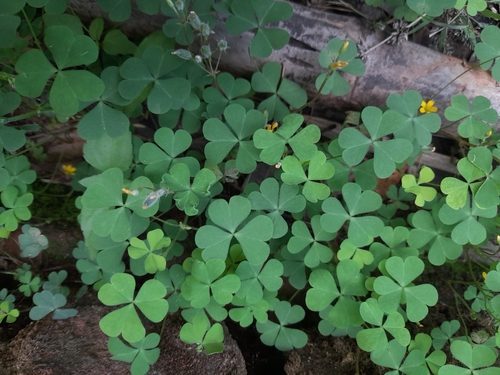
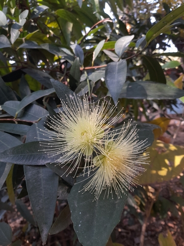
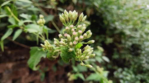
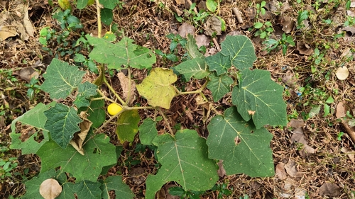
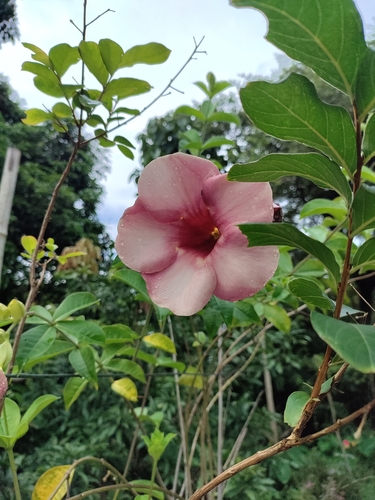
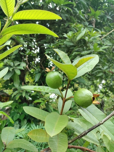
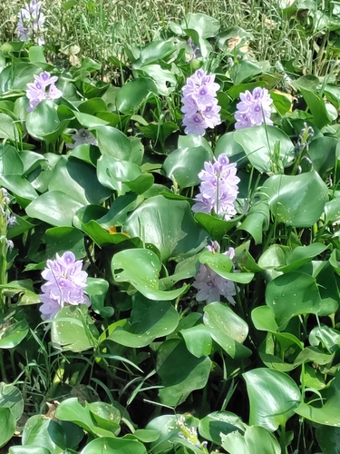
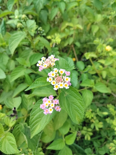
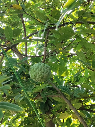
Research-grade observations from iNaturalist (within ~15 mi).
Events
Gallery
Sources
- • Wikipedia
- • Wikidata
- • iNaturalist
- • Open-Meteo / sunrise-sunset.org
- • Wikipedia Pageviews API
- • Open Library