Browse / United States / Indiana / Homer
Homer
IndianaCDP
Total population
233
Median home value
$85,900
Bachelor's+
Median income
$147,679
Demographic figures from US Census Bureau · ACS 5-year estimates. Overview below cites Wikipedia and may reference a different year.
- Flood Watch · SevereFlood Watch issued September 17 at 10:58PM EDT until September 18 at 10:00AM EDT by NWS Indianapolis IN
Source: NOAA National Weather Service.
City facts
Facts from Wikidata (CC0).
Overview
Homer is an unincorporated community in central Walker Township, Rush County, in the U.S. state of Indiana. Although Homer is unincorporated, it has a post office, with the ZIP code of 46146.
Read more on WikipediaHistory & geography
History
Homer was originally called Slabtown, and under the latter name had its start around 1850 when a sawmill was established at that point. A post office was established under the name Goddard in 1840 and was discontinued in 1852. Another post office with the name Homer ran from 1854 to 2000. Beginning in 1967, the village became the site for many workshops for Rush County youth. Elementary children through high schoolers attended summer weekend camps in drama, speech, history, woodworking, photography, fitness, and creative writing. Hundreds of children in the 1960s and into the 1980s spent part of their summers here. The boys slept in shuttered trains cars while the girls camped in a nearby barn and later in the basement of the Homer Federated Church.
Excerpted from the corresponding Wikipedia article (CC BY-SA).
Demographics & economy
Race & ethnicity
Source: US Census Bureau — American Community Survey, 5-year estimates.
Geography
Coordinates & boundaries from the US Census TIGER/Line shapefiles.
Climate
Current forecast
Forecast for Homer, IN from NOAA NWS API.
Air quality
Industrial & pollution facilities
Natural hazard risk
Health (adults)
Walkability
Amenities nearby
Wildlife & biodiversity
Most-observed species
- American RobinTurdus migratorius Linnaeus, 1766 · Aves487
- European StarlingSturnus vulgaris Linnaeus, 1758 · Aves478
- Northern CardinalCardinalis cardinalis (Linnaeus, 1758) · Aves440
- Mourning DoveZenaida macroura (Linnaeus, 1758) · Aves399
- Song SparrowMelospiza melodia (A.Wilson, 1810) · Aves398
- American CrowCorvus brachyrhynchos C.L.Brehm, 1822 · Aves316
- House SparrowPasser domesticus (Linnaeus, 1758) · Aves309
- Red-winged BlackbirdAgelaius phoeniceus (Linnaeus, 1766) · Aves298
Citizen-science & research observations from the Global Biodiversity Information Facility (GBIF).
Schools
Largest nearby schools
- Rushville Consolidated High SchoolHigh · Rushville · 654 students · 14.5:1 ratio
- Rushville Elementary School WestElementary · Rushville · 366 students · 15.9:1 ratio
- Rushville Elementary School EastElementary · Rushville · 329 students · 18.3:1 ratio
- Benjamin Rush Middle SchoolMiddle · Rushville · 318 students · 13.3:1 ratio
- Milroy Elementary SchoolElementary · Milroy · 151 students · 11.6:1 ratio
- Arlington Elementary SchoolElementary · Arlington · 140 students · 11.7:1 ratio
Public K–12 schools within ~10 mi from Urban Institute Education Data Portal (NCES Common Core of Data, 2022).
Earthquake history
Most recent
- M 3.8 — 2010-12-306 km SE of Greentown, Indiana
- M 3.8 — 2004-09-124 km NW of Manilla, Indiana
Events from the USGS Earthquake Catalog (global) (FDSN Event Web Service).
Photos
Sights & places nearby
Notable people from here

People born within ~10 km, from Wikidata (CC0). Click any name for their Wikipedia article.
Nearby places in Indiana
- Arlington4.3 mi away
- Gwynneville6.9 mi away
- Carthage10.9 mi away
- Shelbyville11 mi away · pop. 20,296
- Morristown11.3 mi away · pop. 1,134
- Sandusky12.1 mi away
- Fountaintown13.5 mi away · pop. 119
- Adams13.6 mi away · pop. 121
- Geneva14.9 mi away · pop. 265
- Glenwood15 mi away · pop. 429
- Knightstown15.2 mi away
- Carrollton15.6 mi away
Geography & sun
Elevation, sunrise/sunset and daylight from Open-Meteo. Solar climatology from NASA POWER.
Nearby airports
Public attention
Pageview totals from the Wikimedia Pageviews API.
Books about Homer




Search results from Open Library.
Recent natural events nearby
Ground air-quality sensors
Recently spotted species
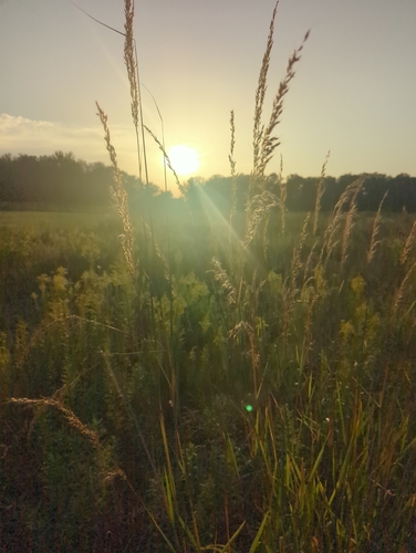
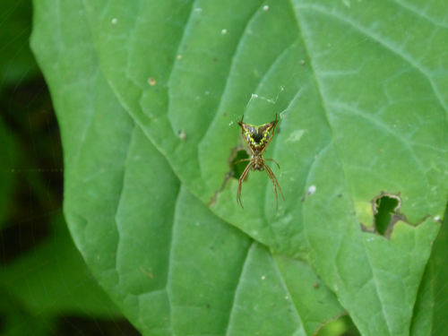
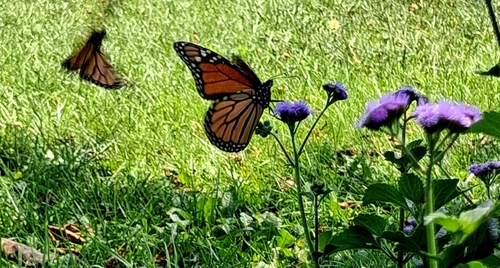
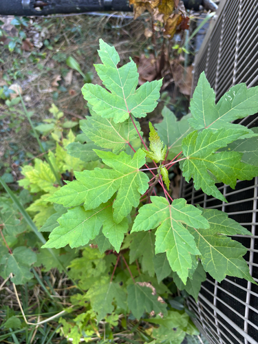
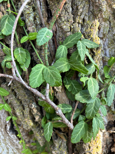
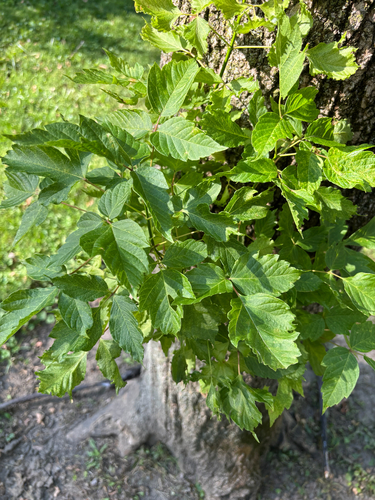
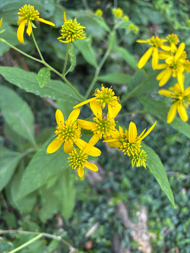
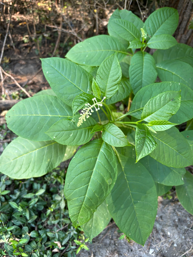
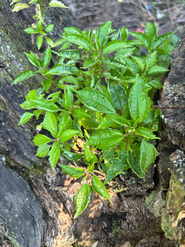
Research-grade observations from iNaturalist (within ~15 mi).
Nearest stream gauge
Live readings from USGS NWIS · measured 2026-09-22 05:30 UTC.
Events
Gallery
Sources
- • Wikipedia
- • US Census Bureau (ACS 5-year estimates)
- • NOAA National Weather Service
- • Wikidata
- • USGS Earthquake Catalog (global feed)
- • USGS NWIS (water data)
- • NCES via Urban Institute Education Data Portal
- • GBIF (Global Biodiversity Information Facility)
- • iNaturalist
- • Open-Elevation
- • Open-Meteo / sunrise-sunset.org
- • Wikipedia Pageviews API
- • Open Library