Browse / India / Rajasthan / Jaipur
Jaipur
Rajasthancity

Jaipur
Total population
3,073,400
Founded
1727
Demographic figures from Ministry of Statistics (India). Overview below cites Wikipedia and may reference a different year.
City facts
Sister cities
Facts from Wikidata (CC0).
Overview
Jaipur is the capital and the largest city of the north-western Indian state of Rajasthan. As of 2011, the city had a population of 3.1 million, making it the tenth most populous city in the country. Located 268 km from the national capital New Delhi, Jaipur is also known as the Pink City due to the dominant colour scheme of its buildings in the old city.
Read more on WikipediaHistory & geography
History
Jaipur was founded by the Rajput chief of Kachhwaha clan, Jai Singh II, on 18 November 1727, who ruled the region from 1699 to 1743. He planned to shift his capital from Amber, to Jaipur to accommodate the growing population and increasing scarcity of water. Jai Singh consulted several architects while planning the layout of Jaipur and established the city based on the principles of Vastu Shastra and Shilpa Shastra, under the architectural guidance of Vidyadhar Bhattacharya. Many of the avenues remain painted in pink, giving Jaipur a distinctive appearance and the epithet Pink City. In the 19th century, the city grew rapidly and had a population of 160,000 by 1900. The wide boulevards were paved, and its chief industries included metalwork and marble, fostered by a school of art founded in 1868. In August 1981, large areas of the city including the airport, were flooded due to heavy rains from a cloudburst, resulting in the deaths of eight people and much damage to the city's Dravyavati River. On 6 July 2019, the city was named to the World Heritage Cities list.
Geography
Jaipur is located in the northeastern part of Rajasthan and covers a total area of . The city is surrounded by fertile alluvial plains to the east and south, and hill chains and desert areas to the north and west. Jaipur generally slopes downwards from north to south and then to the southeast. The Dravyavati River is the primary drainage channel, which by 2014 had degenerated into an untreated sewage nallah. To address this issue, a plan for the rejuvenation of the river was developed by Jaipur Development Authority (JDA) in 2015. A stretch of Dravyavati riverfront out of was opened after rejuvenation in 2018 and the remaining project was completed in 2022. Jaipur has a monsoon-influenced hot semi-arid climate (Köppen climate classification BSh) with long, extremely hot summers and short mild to warm winters. Annual precipitation is over , falling mostly in July and August due to the southwest monsoon, causing the average temperatures in these two months to be lower compared to drier May and June. During the monsoon, there are frequent, heavy rains and thunderstorms, but flooding is not common. The highest temperature ever recorded was , on 23 May 1994. The city's average temperature remains below between December and February. These months are mild, dry, and pleasant, sometimes chilly. The lowest temperature ever recorded was on 31 January 1905, 1 February 1905, and 16 January 1964. Jaipur, like many other major cities of the world, is a significant urban heat island zone with surrounding rural temperatures occasionally falling below freezing in winters. Jaipur has been ranked 33rd best "National Clean Air City" (under Category 1 >10L Population cities) in India.
Excerpted from the corresponding Wikipedia article (CC BY-SA).
Geography
Coordinates & boundaries from the US Census TIGER/Line shapefiles.
Climate
Air quality
Walkability
Amenities nearby
Wildlife & biodiversity
Most-observed species
- Eurasian Collared-DoveStreptopelia decaocto (Frivaldszky, 1838) · Aves2,906
- Rock PigeonColumba livia J.F.Gmelin, 1789 · Aves2,842
- Red-vented BulbulPycnonotus cafer (Linnaeus, 1766) · Aves2,759
- Common MynaAcridotheres tristis (Linnaeus, 1766) · Aves2,627
- Laughing DoveSpilopelia senegalensis (Linnaeus, 1766) · Aves2,512
- Rose-ringed ParakeetPsittacula krameri (Scopoli, 1769) · Aves2,478
- Red-wattled LapwingVanellus indicus (Boddaert, 1783) · Aves2,188
- Black DrongoDicrurus macrocercus Vieillot, 1817 · Aves2,159
Citizen-science & research observations from the Global Biodiversity Information Facility (GBIF).
Earthquake history
Most recent
- M 4.3 — 2023-07-2011 km ESE of Jaipur, India
- M 4 — 2015-09-037 km W of R?ngas, India
- M 3.6 — 2013-02-2413 km SW of R?ngas, India
- M 3.9 — 2012-12-209 km SW of Kotputli, India
- M 4.2 — 2006-12-2411 km ENE of Basi, India
- M 4.5 — 2003-08-1022 km WSW of Manoharpur, India
Events from the USGS Earthquake Catalog (global) (FDSN Event Web Service).
Photos
Sights & places nearby
Notable people from here


People born within ~10 km, from Wikidata (CC0). Click any name for their Wikipedia article.
Nearby places in Rajasthan
- Kanwat47.1 mi away · pop. 7,900
- Kasba Bonli47.6 mi away · pop. 15,300
- Udaipurwati60.2 mi away · pop. 29,200
- Todaraisingh64.9 mi away · pop. 23,600
- Alwar66.3 mi away · pop. 315,300
- Nawalgarh72.7 mi away · pop. 63,900
- Ajmer79.1 mi away · pop. 542,600
- Nasirabad79.3 mi away · pop. 50,800
- Laxmangarh79.3 mi away · pop. 47,300
- Karauli80 mi away · pop. 83,000
- Pushkar83.3 mi away · pop. 21,600
- Weir83.7 mi away · pop. 17,340
Geography & sun
Elevation, sunrise/sunset and daylight from Open-Meteo. Solar climatology from NASA POWER.
Nearby airports
Public attention
Pageview totals from the Wikimedia Pageviews API.
Books about Jaipur

Search results from Open Library.
Recent natural events nearby
Ground air-quality sensors
Recently spotted species
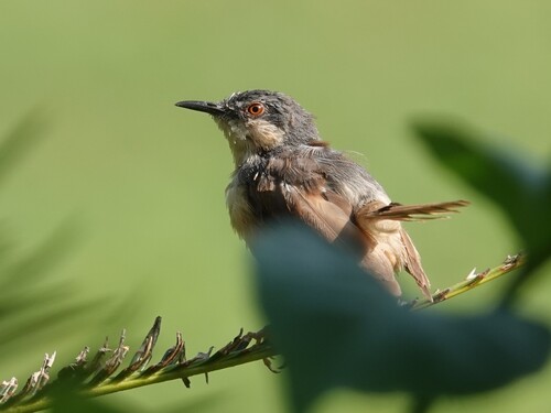
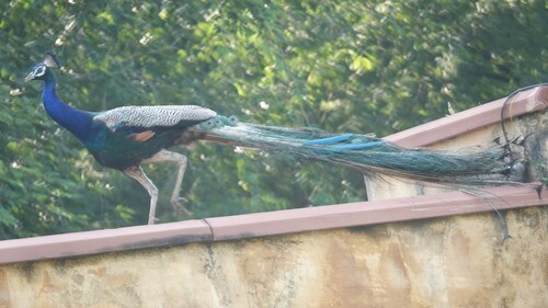
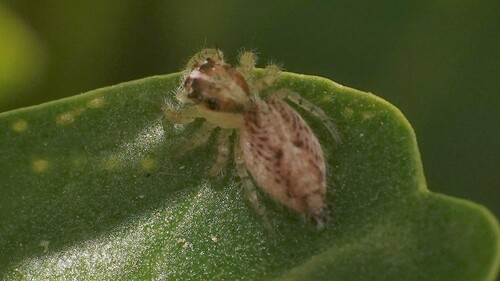
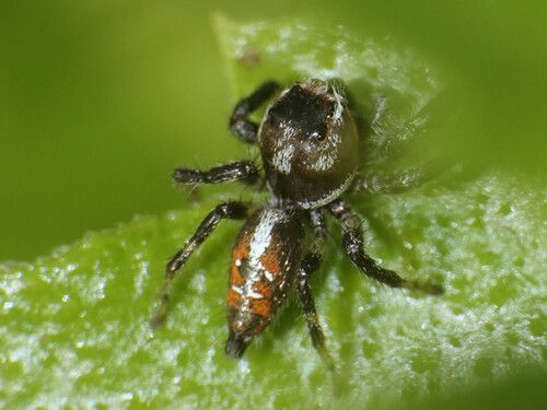
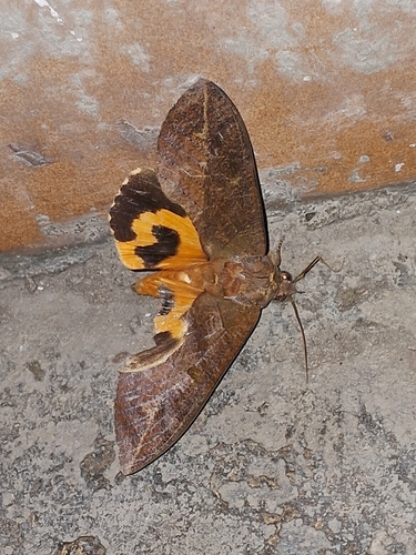
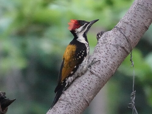
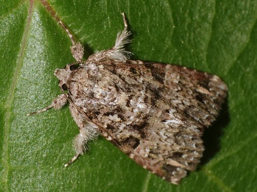
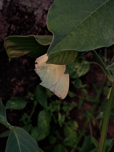
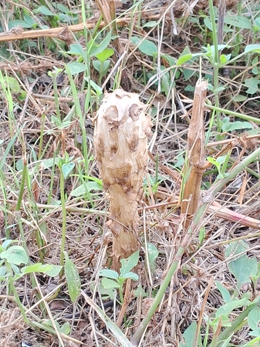
Research-grade observations from iNaturalist (within ~15 mi).
Events
Notable, recurring, and historical events associated with Jaipur, sourced from Wikidata.
Source: Wikidata (CC0).
Gallery
Geotagged photos within ~6 miles of Jaipur, from Wikimedia Commons contributors.
 0 mi
0 mi 0.1 mi
.jpg) 0.2 mi
0.2 mi.jpg) 0.2 mi
0.2 mi,_Ram_Niwas_Garden,_Jaipur,_Rajasthan,_India_(2016)_3.jpg) 0.2 mi
0.2 mi,_Ram_Niwas_Garden,_Jaipur,_Rajasthan,_India_(2016)_1.jpg) 0.2 mi
0.2 mi,_Ram_Niwas_Garden,_Jaipur,_Rajasthan,_India_(2016)_2.jpg) 0.2 mi
0.2 mi,_Ram_Niwas_Garden,_Jaipur,_Rajasthan,_India_(2016)_4.jpg) 0.2 mi
0.2 mi,_Ram_Niwas_Garden,_Jaipur,_Rajasthan,_India_(2016)_6.jpg) 0.2 mi
0.2 mi 0.2 mi
 0.2 mi
 0.2 mi
.jpg) 0.2 mi
0.2 mi 0.2 mi
 0.2 mi
 0.2 mi
 0.2 mi
 0.2 mi
 0.2 mi
.jpg) 0.2 mi
0.2 mi_3.jpg) 0.2 mi
0.2 mi_2.jpg) 0.2 mi
0.2 mi.jpg) 0.2 mi
0.2 mi 0.2 mi
Photos via Wikimedia Commons — see each image page for license & attribution.
Sources
- • Wikipedia
- • Wikimedia Commons
- • Wikidata
- • USGS Earthquake Catalog (global feed)
- • GBIF (Global Biodiversity Information Facility)
- • iNaturalist
- • Open-Meteo / sunrise-sunset.org
- • Wikipedia Pageviews API
- • Open Library