Browse / India / Rajasthan / Jaitaran
Jaitaran
Rajasthantown

Jaitaran
Total population
22,600
Demographic figures from Ministry of Statistics (India). Overview below cites Wikipedia and may reference a different year.
City facts
Facts from Wikidata (CC0).
Overview
Jaitaran is a town and a municipality in Beawar district in the Indian state of Rajasthan.
Read more on WikipediaHistory & geography
History
Jaitaran was one of the districts under Jodhpur State. Rao Suja's son, Rao Uda, did not receive Jaitaran as a grant; he conquered it from the Sindal Rajputs with his friend Khetsinh Kaviya of Birai. Khetsinh Kaviya's successors were later granted the jageer of Gehwasni (later divided into two villages Nokh and Basni Kaviyan) situated near Jaitaran for his bravery. Uda's descendants are known as Udawats and till 1947, Udawats held major thikanas around Jaitaran, like Raipur, Nimaj, Ras, Lambia. During Maratha raids in Marwar, Holkar found it very difficult to extort money from people around Jaitaran, Sojat and Raipur as they preferred to quit their huts, set fire to them rather than being forced to make any kind of payment.
Geography
Jaitaran is located at . It has an average elevation of 307metres (1007feet).
Excerpted from the corresponding Wikipedia article (CC BY-SA).
Geography
Coordinates & boundaries from the US Census TIGER/Line shapefiles.
Climate
Air quality
Walkability
Amenities nearby
Wildlife & biodiversity
Earthquake history
Photos
Sights & places nearby
Notable people from here
People born within ~10 km, from Wikidata (CC0). Click any name for their Wikipedia article.
Geography & sun
Elevation, sunrise/sunset and daylight from Open-Meteo. Solar climatology from NASA POWER.
Nearby airports
Public attention
Pageview totals from the Wikimedia Pageviews API.
Books about this place
Recent natural events nearby
Ground air-quality sensors
Recently spotted species
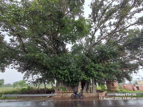
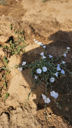
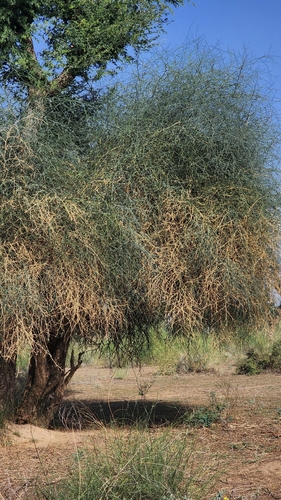
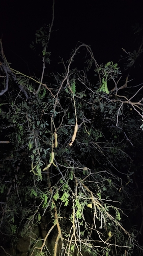
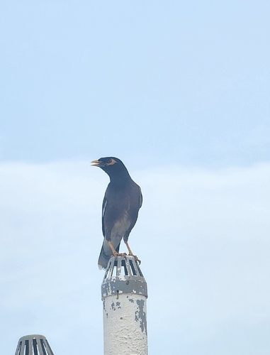
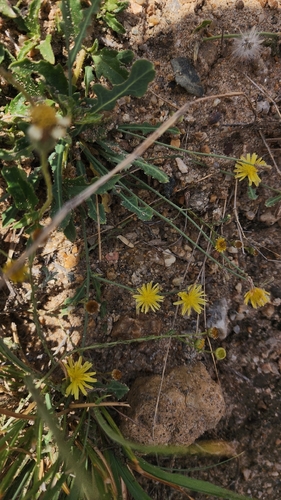
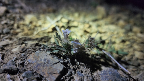
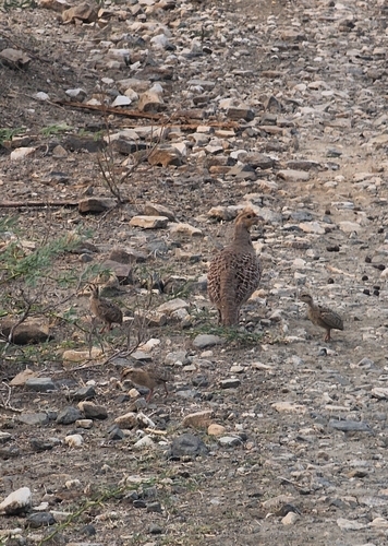
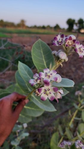
Research-grade observations from iNaturalist (within ~15 mi).
Events
Gallery
Sources
- • Wikipedia
- • Wikidata
- • iNaturalist
- • Open-Meteo / sunrise-sunset.org
- • Wikipedia Pageviews API