Browse / India / Uttar Pradesh / Jewar
Jewar
Uttar Pradeshtown
Demographic figures from Ministry of Statistics (India). Overview below cites Wikipedia and may reference a different year.
City facts
Facts from Wikidata (CC0).
Overview
Jewar is a town, nagar panchayat, and sub-division in Gautam Buddha Nagar district in NCR in the Indian state of Uttar Pradesh. It is located on the northeast bank of the Yamuna River about 40 km (25 mi) from the district headquarters Greater Noida, about 60 km (37 mi) from Noida, 33 km (21 mi) from Gautam Buddha University and 35 km (22 mi) from Khair.
Read more on WikipediaHistory & geography
History
Jewar has Painted Grey Ware culture, usually associated with the vedic era, archaeological site. According to the folklore, the Bisrakh village nearby had the ashram of Ravana's father, Vishrava; and Dankaur had the ashram of Dronacharya (Pandava's and Ekalavya's guru). People of the area participated in 1857 India's war of independence. Indian freedom fighter Ram Prasad Bismil stayed in the area after the "Mainpuri Conspiracy of 1918" and Bhagat Singh stayed at Nalgadha while experimenting with bomb making. Before 1997, Jewar and Dankaur were parts of the Bulandshahr district. At present, Jewar and Dankaur along with Dadri and Bisrakh (earlier parts of Ghaziabad district) are parts of Gautam Buddha Nagar district.
Excerpted from the corresponding Wikipedia article (CC BY-SA).
Geography
Coordinates & boundaries from the US Census TIGER/Line shapefiles.
Climate
Air quality
Walkability
Amenities nearby
Wildlife & biodiversity
Earthquake history
Photos
Sights & places nearby
Notable people from here
Geography & sun
Elevation, sunrise/sunset and daylight from Open-Meteo. Solar climatology from NASA POWER.
Nearby airports
Public attention
Pageview totals from the Wikimedia Pageviews API.
Books about this place
Recent natural events nearby
Ground air-quality sensors
Recently spotted species
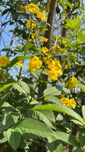
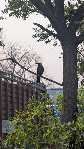
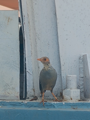
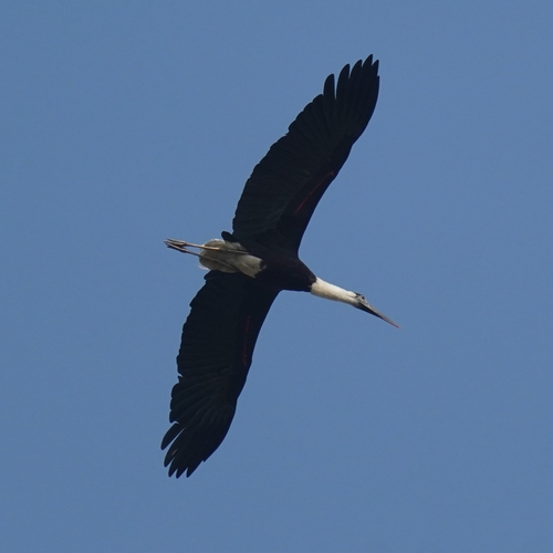
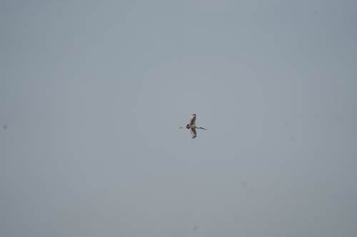
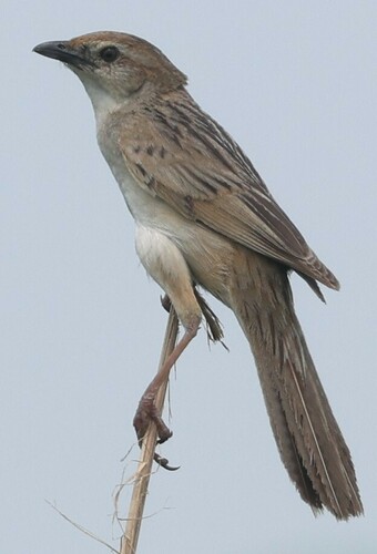
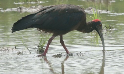
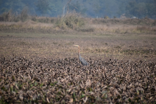
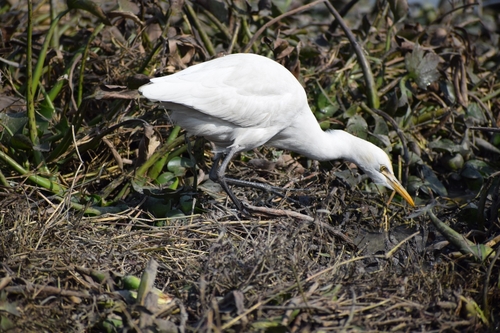
Research-grade observations from iNaturalist (within ~15 mi).
Events
Gallery
Sources
- • Wikipedia
- • Wikidata
- • iNaturalist
- • Open-Meteo / sunrise-sunset.org
- • Wikipedia Pageviews API