Browse / India / Kerala / Kanhangad
Kanhangad
Keralatown

Kanhangad
Total population
40,000
Demographic figures from Ministry of Statistics (India). Overview below cites Wikipedia and may reference a different year.
City facts
Overview
Kanhangad is a city and municipality, located in the Kasaragod district, state of Kerala, India. It is the most populous city in Kasaragod district.
Read more on WikipediaHistory & geography
History
It was cited in old folklore that the area of Kanhangad was under the reign of king Nanda Raja of Mushaka Rajya, headquartered in Ezhimala Kannur region during the Sangam period. The historic region was known as Poozhinadu and later Paduvanadu. However, the history of Kanhangad can be clearly understood only by the 8th century. During this period the area was a part of the 2nd Chera Dynasty. The illustrations of a Chera King, Bhaskaran Ravi Varman II obtained from Pullur shows the political sovereignty of the Chera Kingdom in this region. Later, when Kolathunadu of Kolathiri dynasty from Kannur administered the region, Kolathiri appointed Kanhan as the baron of the region. So the name Kanhante Naadu, meaning 'Kanhan's Province' contracted to Kanhangad. Due to the collapse of the Kolathiri Dynasty, the reign of Elamkoor came to an end and the powerful elite barons renowned as Ettadukkal lords gained the strength. Among them, the mightiest was Allohalan, whose reign was concentrated around Madiyan Kovilakam. With the help of the Zamorin, Kolathiri has assassinated him and established a new dynasty at Neeleswaram headquarters. Earlier Kanhangad was a crucial port in all sense. Hence the Vijayanagara kings attacked Kanhangad too during their conquest of Tulu Nadu. After the fall of the Vijayanagara dynasty, the Ikkeri Kings have been attacking this area since the 1630s. Since Kanhangad became a part of Nileshwaram kingdom following the reign of the Kolathunadu, the land witnessed frequent conflicts between Nileshwaram kingdom and Ikkeri Nayaks of Bednore. When the Ikkeri Nayaks defeated the Nileshwaram kingdom, the region came under the Keladi Nayaka Kingdom. In 1713 Somashekara Nayaka constructed a new fort to resist further attacks from Nileshwaram kingdom. The fort…
Geography
Kanhangad lies at 12°18′0″N 75°5.4′0″E in the geographic map of Kasaragod. It is a coastal town which has a varied topography with plain areas in the centre of the city. The landscape is dominated by the characteristic coconut palms accompanying rolling hills and streams flowing into the sea. In the East, there are hilly areas of Madikai . The western region has powdered sand and a mix of laterite and alluvial soil in the areas between. The hilly areas typically consists of red sand. The Arabian Sea lies in the west and the Western Ghats in the east. The Neeleshwaram River originates from the Kinanoor Hills, passes south through Arangadi and drains into the Nileshwar.
Excerpted from the corresponding Wikipedia article (CC BY-SA).
Geography
Coordinates & boundaries from the US Census TIGER/Line shapefiles.
Climate
Air quality
Walkability
Amenities nearby
Wildlife & biodiversity
Earthquake history
Photos
Sights & places nearby
Notable people from here


People born within ~10 km, from Wikidata (CC0). Click any name for their Wikipedia article.
Geography & sun
Elevation, sunrise/sunset and daylight from Open-Meteo. Solar climatology from NASA POWER.
Nearby airports
Public attention
Pageview totals from the Wikimedia Pageviews API.
Books about this place
Recent natural events nearby
Ground air-quality sensors
Recently spotted species
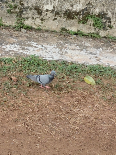


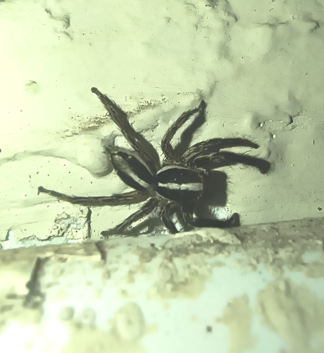




Research-grade observations from iNaturalist (within ~15 mi).
Events
Gallery
Sources
- • Wikipedia
- • Wikidata
- • iNaturalist
- • Open-Meteo / sunrise-sunset.org
- • Wikipedia Pageviews API