Browse / India / West Bengal / Kashipur
Kashipur
West Bengaltown

Kashipur
Demographic figures from Ministry of Statistics (India). Overview below cites Wikipedia and may reference a different year.
City facts
Overview
Kashipur is a village, with a police station, in the Kashipur CD block in the Raghunathpur subdivision of the Purulia district in West Bengal, India. Kalloli, where the CD Block headquarters are located, is close to Kashipur.
Read more on WikipediaHistory & geography
History
The Panchkot Raj had ruled from their capital at Garh Panchkot from 940 to 1750 AD. However, Panchkot Raj faced adversities towards the end of their stay at Garh Panchkot. Around 1600 AD . Subsequently, Bargi attacks laid waste the place. Around 1750 AD, the Panchkot Raj family shifted to Kashipur and have been here since then. The Panchkot Jagir (also known as Zamindari Raj of Panchkot or Chakla Panchkot) was founded about the year 80 AD by Damodar Shekhar, who belonged to the kshatriya Parmar (Agnivanshi) community. Amongst the recent members were Raja Bahadur Jyoti Prasad Singh Deo, who ruled from 1901-1938 and was granted the title of Raja as a personal distinction in 1912. Raja Kalyani Prasad Singh Deo ruled from 1938-1945, Raja Shankari Prasad Singh Deo ruled from 1945 to 1956 and Raja Bhubaneswari Prasad Singh Deo ruled from 1956-1972.
Geography
Kashipur is located at .Kalloli, the place where the CD block headquarters are located, is close to Kashipur. Purulia district forms the lowest step of the Chota Nagpur Plateau. The general scenario is undulating land with scattered hills. Raghunathpur subdivision occupies the northern part of the district. 83.80% of the population of the subdivision lives in rural areas. However, there are pockets of urbanization and 16.20% of the population lives in urban areas. There are 14 census towns in the subdivision. It is presented in the map given alongside. There is a coal mining area around Parbelia and two thermal power plants are there – the 500 MW Santaldih Thermal Power Station and the 1200 MW Raghunathpur Thermal Power Station. The subdivision has a rich heritage of old temples, some of them belonging to the 11th century or earlier. The Banda Deul is a monument of national importance. The comparatively more recent, in historical terms, Panchkot Raj has interesting and intriguing remains in the area. Note: The map alongside presents some of the notable locations in the subdivision. All places marked in the map are linked in the larger full screen map.
Excerpted from the corresponding Wikipedia article (CC BY-SA).
Geography
Coordinates & boundaries from the US Census TIGER/Line shapefiles.
Climate
Air quality
Walkability
Amenities nearby
Wildlife & biodiversity
Most-observed species
- Black DrongoDicrurus macrocercus Vieillot, 1817 · Aves152
- Common MynaAcridotheres tristis (Linnaeus, 1766) · Aves128
- Spotted DoveSpilopelia chinensis (Scopoli, 1786) · Aves127
- White-throated KingfisherHalcyon smyrnensis (Linnaeus, 1758) · Aves118
- Eurasian Collared-DoveStreptopelia decaocto (Frivaldszky, 1838) · Aves117
- Little CormorantMicrocarbo niger (Vieillot, 1817) · Aves112
- Jungle BabblerTurdoides striata (Dumont, 1823) · Aves102
- Red-vented BulbulPycnonotus cafer (Linnaeus, 1766) · Aves100
Citizen-science & research observations from the Global Biodiversity Information Facility (GBIF).
Earthquake history
Most recent
- M 4 — 2020-04-0822 km NNW of B?nkura, India
- M 4.7 — 2019-05-2618 km W of B?nkura, India
- M 4.5 — 2015-12-156 km E of Gobindpur, India
- M 4.2 — 2008-11-0814 km NNE of Durgapur, India
- M 4.3 — 2008-02-0616 km NW of Beli?tor, India
- M 4.3 — 2003-10-208 km E of Puruliya, India
Events from the USGS Earthquake Catalog (global) (FDSN Event Web Service).
Photos
Sights & places nearby
Notable people from here
Geography & sun
Elevation, sunrise/sunset and daylight from Open-Meteo. Solar climatology from NASA POWER.
Nearby airports
Public attention
Pageview totals from the Wikimedia Pageviews API.
Books about Kashipur
Search results from Open Library.
Recent natural events nearby
Ground air-quality sensors
Recently spotted species
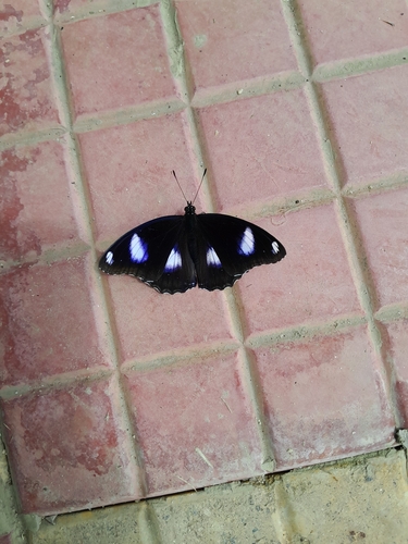
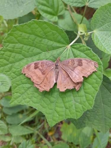

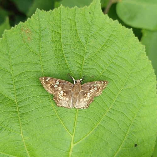
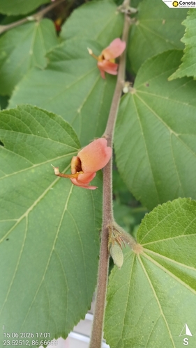
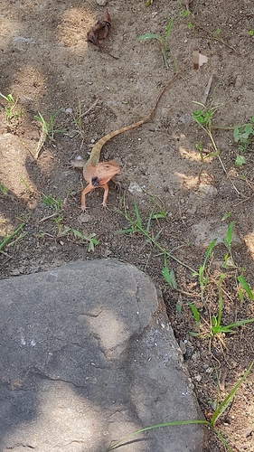
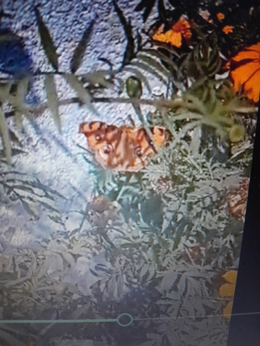
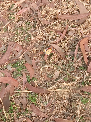
Research-grade observations from iNaturalist (within ~15 mi).
Events
Gallery
Sources
- • Wikipedia
- • USGS Earthquake Catalog (global feed)
- • GBIF (Global Biodiversity Information Facility)
- • iNaturalist
- • Open-Meteo / sunrise-sunset.org
- • Wikipedia Pageviews API
- • Open Library