Browse / India / West Bengal / Kharagpur
Kharagpur
West Bengalcity

Kharagpur
Total population
207,600
Demographic figures from Ministry of Statistics (India). Overview below cites Wikipedia and may reference a different year.
City facts
Facts from Wikidata (CC0).
Overview
Kharagpur is a semi-planned urban agglomeration and a major industrial city in the Paschim Medinipur district of West Bengal, India. It is the headquarters of the Kharagpur subdivision and the largest city of the district. It is located 120 km west of Kolkata. Kharagpur is home to IIT Kharagpur, the oldest and largest Indian Institute of Technology. It has the fourth longest railway platform in the world, with a length of 1,072 m, after Hubbali, Gorakhpur and Kollam junctions. The Kharagpur Junction railway station is the headquarters of the Kharagpur Division of the South Eastern Railways.
Read more on WikipediaHistory & geography
History
Kharagpur (transliterated from ) received its name from the twelfth king of the Mallabhum dynasty, Kharga Malla, when he conquered it in 832 AD (Bengali: 147 BS). It was a part of the Hijli Kingdom, and was ruled by Hindu Odia rulers of the Mallabhum dynasty. According to some historians, in the 16th century, Kharagpur was a small village which was surrounded by dense forests. The village was located on barren terrain, such as a rocky plateau. According to Ain-i-Akbari, it also had a strong fort in the middle of its wooded hills. In mid-May 1687, Abdus Samad, a lieutenant serving under Shaista Khan, arrived to recapture Hijli from the English forces, with 12,000 men. The Mughal forces' heavy batteries, then located on the mainland west of Hijli, fired across the English positions, which drove the latter's ships from their anchorage. On 28 May an army of 700 cavalry and 200 gunners recaptured Hijli from the English, and set it ablaze. Adding to their misfortunes, malaria had spread to the English forces killing more than 200 soldiers; only 100 men, including five officers, survived. Following these events, a peace treaty was signed between the English and Samad. Subsequently, the English left Hijli on 11 June 1687, and later on 9 November 1688, they also left Calcutta and evacuated all their businesses and troops stationed in Bengal. The British came back to Bengal in 1690, and established the city of Calcutta, after an invitation by the new Viceroy of Bengal, Ibrahim Khan. Hijli port was destroyed by the Calcutta cyclone in October 1864. The area was then rebuilt in the months following the natural calamity. Hijli existed as a province until 1886, covering parts of both Bengal and Odisha. The province had important towns like Tamluk, Panskura, and Debra. At the…
Geography
Kharagpur is located at . Note: The map alongside presents some of the notable locations in the city. All places marked in the map are linked in the larger full screen map. Kharagpur is the fourth largest city of West Bengal in area after Kolkata, Durgapur and Asansol. It is also the fifth most populated city of West Bengal after Kolkata, Asansol, Siliguri, and Durgapur. Kharagpur proper covers an area of about in the southern part of West Midnapore, while the Kharagpur subdivision covers an area of . For the Kharagpur municipality, the total area is . It is a part of the Kharagpur subdivision, which comes under Medinipur division, and the Dalma Hills also stretch across its lands. Three significant rivers flow through the city which are Subarnarekha, Keleghai and Kangsabati rivers. Kharagpur has a railway colony that was established as a primary residence of British Raj officers as well as people of Anglo-Indian heritage. Hijli station is the boundary of this railway colony, which also borders the village houses in Jhapatapur and Jholi. IIT Kharagpur, one of the Institutes of National Importance in India, was also established adjacent to the colony. Nimpura contains colonies that house over a thousand railway employees. There is a long and winding road from Nimpura to Hijli which goes through Tengra Haat (Arambati) and Talbagicha. Another road goes from Kalaikunda to Gopali through Hiradihi and Talbagicha. Hijli Co-operative society is a planned residential area in Kharagpur. The Kharagpur Municipality office and fire station are also located nearby. Kharagpur Railway Colony is the biggest railway settlement in India, which has about 11,000 railway quarters. There are several railway residential areas which include but are not limited to–Chhota Ayma, Bara Ayma,…
Excerpted from the corresponding Wikipedia article (CC BY-SA).
Geography
Coordinates & boundaries from the US Census TIGER/Line shapefiles.
Climate
Air quality
Walkability
Amenities nearby
Wildlife & biodiversity
Earthquake history
Photos
Sights & places nearby
Notable people from here


People born within ~10 km, from Wikidata (CC0). Click any name for their Wikipedia article.
Geography & sun
Nearby airports
Public attention
Books about this place
Recent natural events nearby
Ground air-quality sensors
Recently spotted species
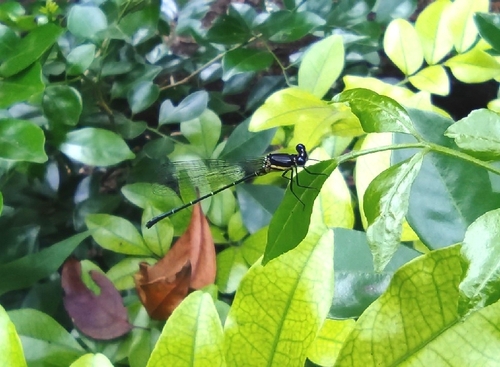
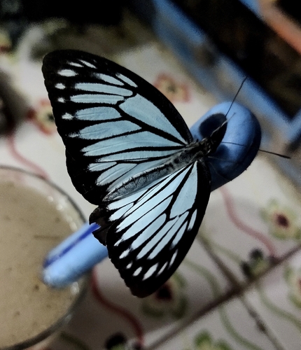
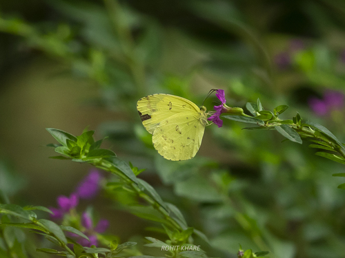

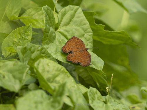
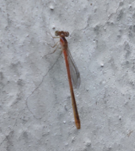
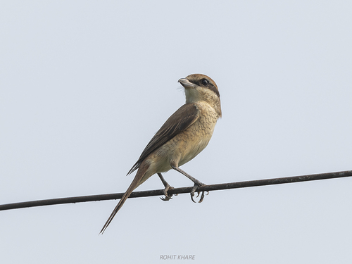
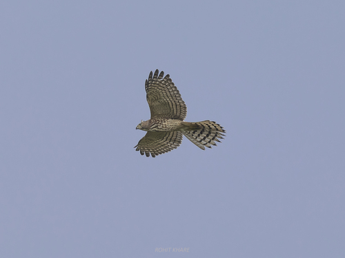
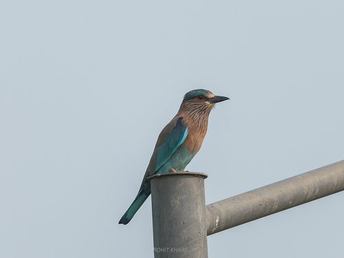
Research-grade observations from iNaturalist (within ~15 mi).
Events
Gallery
Official Identifiers
Local Government Directory (India)
- LGD code
- 801757
- Population (Wikidata)
- 207,604
- Wikidata
- Q588477
LGD code via Wikidata P5578
Sources
- • Wikipedia
- • Wikidata
- • iNaturalist
- • Local Government Directory (India) — LGD code via Wikidata P5578