Browse / India / Jammu and Kashmir / Khrew
Khrew
Jammu and Kashmirtown
Total population
9,851
Demographic figures from Ministry of Statistics (India). Overview below cites Wikipedia and may reference a different year.
City facts
Facts from Wikidata (CC0).
Overview
Khrew is a town under municipal committee in Pulwama district in the Indian union territory of Jammu and Kashmir. It comes under Tehsil Pampore and District Pulwama of Union Territory of J&K. It is located at a distance of 20.3 km from Lal Chowk, Srinagar. It is famous for many things like a cement manufacturing hub where thousands of cement trucks are sent across the valley. It is also famous for the Indian army training camp where most of the new joined soldiers get training and are sent to different places after the training is over. It is also famous for the education system having two higher secondary schools and many private schools. It is also famous for different religious places like Saint Sabir shah, Saint Syed shah Mantaqee, baba Qasim, and Jwala Mukhi Temple situated on the hilltop.
Read more on WikipediaHistory & geography
Geography
Khrew is located at . It has an average elevation of 1,607 metres (5,272 feet) and is located in the Kashmir valley. The area starts from Babapora to Seer Bagh and from Bathen to Androosa. Also, the foot region is extended to Ladhoo, a village in Jammu and Kashmir. India census, Khrew had a population of 18,411. Males constitute 52% of the population and females 48%. Khrew has an average literacy rate of 42%, lower than the national average of 65.8%; male literacy is 22.08%, and female literacy is 20.00%. In Khrew, 17% of the population is under 15 years of age.
Excerpted from the corresponding Wikipedia article (CC BY-SA).
Geography
Coordinates & boundaries from the US Census TIGER/Line shapefiles.
Climate
Air quality
Walkability
Amenities nearby
Wildlife & biodiversity
Earthquake history
Photos
Sights & places nearby
Notable people from here

People born within ~10 km, from Wikidata (CC0). Click any name for their Wikipedia article.
Nearby places in Jammu and Kashmir
- Pampore5 mi away · pop. 21,680
- Kakapora6.5 mi away
- Awantipora7 mi away · pop. 12,647
- Tral9.2 mi away · pop. 17,844
- Srinagar10.9 mi away · pop. 1,180,570
- Pulwama11.5 mi away · pop. 18,440
- Chadoora12.7 mi away · pop. 6,482
- Badgam15.9 mi away · pop. 15,338
- Bijbehara16.8 mi away · pop. 22,789
- Charar-e-Sharief17.2 mi away · pop. 11,533
- Frisal18.5 mi away · pop. 5,132
- Pahalgam18.5 mi away · pop. 9,264
Geography & sun
Elevation, sunrise/sunset and daylight from Open-Meteo. Solar climatology from NASA POWER.
Nearby airports
Public attention
Pageview totals from the Wikimedia Pageviews API.
Books about this place
Recent natural events nearby
Ground air-quality sensors
Recently spotted species
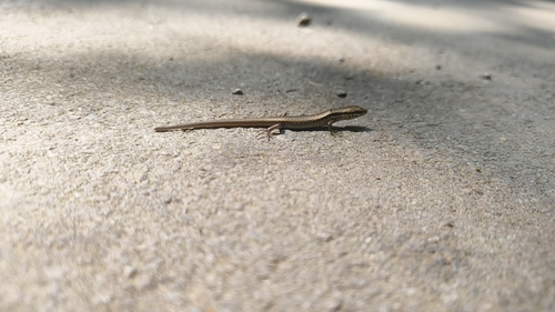
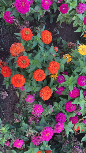
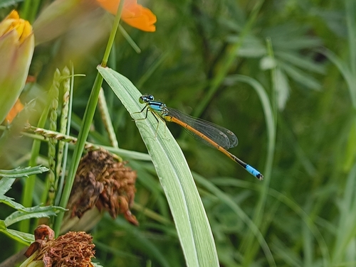
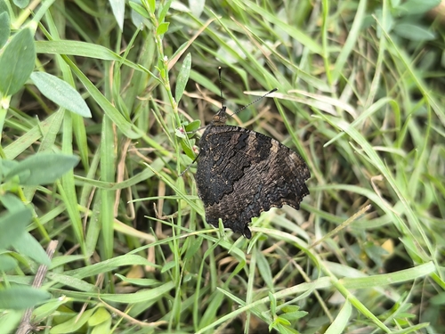
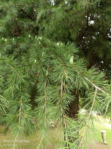
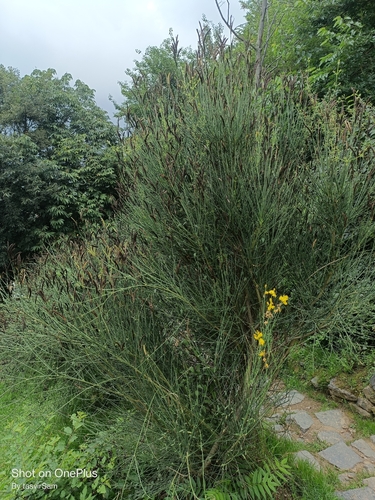
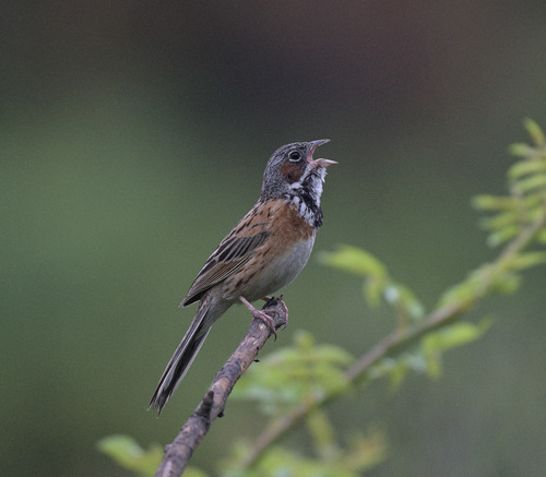
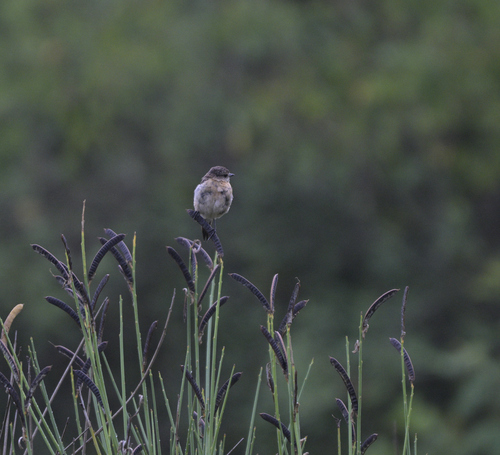
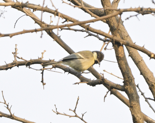
Research-grade observations from iNaturalist (within ~15 mi).
Events
Gallery
Sources
- • Wikipedia
- • Wikidata
- • iNaturalist
- • Open-Meteo / sunrise-sunset.org
- • Wikipedia Pageviews API