Browse / India / Rajasthan / Kuchaman
Kuchaman
Rajasthantown

Kuchaman
Total population
62,000
Demographic figures from Ministry of Statistics (India). Overview below cites Wikipedia and may reference a different year.
City facts
Facts from Wikidata (CC0).
Overview
Kuchaman City is a tehsil located in west-central Rajasthan, India. It is located approximately 42 km (26 mi) to the south-east of the city of Didwana, the district headquarters of Didwana-Kuchaman district.
Read more on WikipediaHistory & geography
History
Kuchaman was founded as the seat of the Pratihara dynasty rulers during the 5th to 8th centuries CE. In the 16th century, it was conquered by the Chauhans and later by the Gaurs. The Rathores finally took over and ruled it as a feudal jagir. Historically, Kuchaman was a stop on the highly profitable Central Asian caravan route. According to legend, the mountain range where Kuchaman is located was once inhabited by the Kuchbandhis, and the town likely derives its name from them. The region, including Kuchbandia and its surrounding areas, was dominated for a long time by the Gaur Kshatriyas. This is supported by inscriptions of the Gaur rulers found at Hirani, Mithadi, Lichana, and other nearby locations. Their capital was Maroth, an ancient city of historical significance. In 1715 AD, Raja Raghunath Singh Maroth assumed suzerainty over the Kuchaman Fort. Mandore was also one of the seven cantonments built by Nagabhata. In the 13th century, the Kingdom of Marwar (Jodhpur State) was established by the rulers of Mandore and Mandore gained control of the Kuchaman fort in the 15th century Jodhpur took control of the entire Marwar region including the Kuchaman Fort. Gaudawati was also part of Marwar. In 1727 AD, Thakur Zalim Singh Mertiya of Gaudawati Maroth, Rajasthan, a descendant of Raghunath Singh Mertiya, established the feudal state of Kuchaman Jagir (manor) under the princely state of Jodhpur. During the same period the city of Kuchaman was also established by Zalim Singh. Thakur Zalim Singh was awarded the feudatory of Kuchaman by Maharaja Abhai Singh of Marwar in 1725 AD. During the princely period, the Kuchaman feudatory comprised 193 villages. Thakur Zalim Singh was martyred while fighting on behalf of the princely state of Jodhpur. It is said that the rulers…
Geography
Kuchaman is located in the central-western part of Rajasthan and eastern part of the Marwar region. The city covers a total area of . The city is surrounded by fertile plains to the east and south, and hill chains and Thar areas to the north and west. Kuchaman generally slopes downwards from North to the South, and then to the southeast. The city is also surrounded by the hills to the east, which are part of the Aravalli range. Kuchaman has a dry climate with a hot summer. Sandstorms are common in summer. The district's climate is marked by extreme dryness, large variations of temperature & highly irregular rainfall patterns. The maximum temperature recorded in the district is with as the lowest recorded temperature. The average temperature of the district is . The winter season extends from mid-November until the beginning of March. The rainy season is relatively short, extending from July through mid-September. There are six climatological stations within the district, being within the cities of Didwana, Kuchaman, Parbatsar, Makarana, Nawa & Ladnun. The average rainfall in the district is & 59% relative humidity. Kuchaman is an important town in western Rajasthan and is located about from the Pakistan border. This location makes it an important route for the Indian Army, the Indian Air Force, and Border Security Force to reach the border from the capital Jaipur. Tropical thorn forests are located in arid and semi-arid regions of western Rajasthan. Kuchaman is a part of western Rajasthan and Marwar region and the whole region comes under a tropical zone. Such thorn forests extend from the western Indo-Pak border to the Aravalli hills and the south-eastern plateau. The main species found in forests in this area include babul, reonja, jand, and karira. The region…
Excerpted from the corresponding Wikipedia article (CC BY-SA).
Geography
Coordinates & boundaries from the US Census TIGER/Line shapefiles.
Climate
Air quality
Walkability
Amenities nearby
Wildlife & biodiversity
Most-observed species
- Saxicoloides fulicatus (Linnaeus, 1766)Saxicoloides fulicatus (Linnaeus, 1766) · Aves20
- Indian RollerCoracias benghalensis (Linnaeus, 1758) · Aves18
- Eurasian Collared-DoveStreptopelia decaocto (Frivaldszky, 1838) · Aves16
- Grey FrancolinOrtygornis pondicerianus (J.F.Gmelin, 1789) · Aves15
- Rock PigeonColumba livia J.F.Gmelin, 1789 · Aves14
- Green Bee-eaterMerops orientalis Latham, 1801 · Aves13
- Large Gray BabblerTurdoides malcolmi (Sykes, 1832) · Aves13
- Black DrongoDicrurus macrocercus Vieillot, 1817 · Aves13
Citizen-science & research observations from the Global Biodiversity Information Facility (GBIF).
Earthquake history
Most recent
- M 4 — 2024-06-084 km ESE of Nawalgarh, India
- M 4 — 2015-09-037 km W of R?ngas, India
- M 3.6 — 2013-02-2413 km SW of R?ngas, India
- M 4.5 — 2003-08-1022 km WSW of Manoharpur, India
Events from the USGS Earthquake Catalog (global) (FDSN Event Web Service).
Photos
Sights & places nearby
Notable people from here


People born within ~10 km, from Wikidata (CC0). Click any name for their Wikipedia article.
Nearby places in Rajasthan
- Makrana11.4 mi away · pop. 93,100
- Laxmangarh47.3 mi away · pop. 47,300
- Ajmer49.1 mi away · pop. 542,600
- Pushkar49.6 mi away · pop. 21,600
- Nawalgarh54.5 mi away · pop. 63,900
- Udaipurwati54.9 mi away · pop. 29,200
- Fatehpur Shekhawati58.6 mi away · pop. 92,600
- Nasirabad59.6 mi away · pop. 50,800
- Kanwat59.6 mi away · pop. 7,900
- Mandawa64.9 mi away · pop. 23,300
- Sri Dungargarh83.3 mi away · pop. 53,300
- Vijainagar85.4 mi away · pop. 32,100
Geography & sun
Elevation, sunrise/sunset and daylight from Open-Meteo. Solar climatology from NASA POWER.
Nearby airports
Public attention
Pageview totals from the Wikimedia Pageviews API.
Books about this place
Recent natural events nearby
Ground air-quality sensors
Recently spotted species
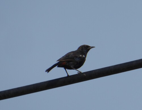
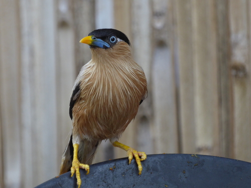
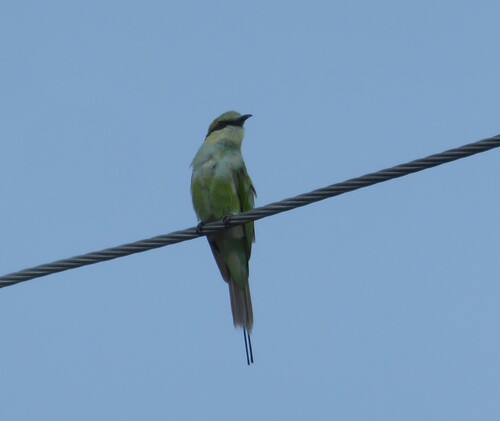
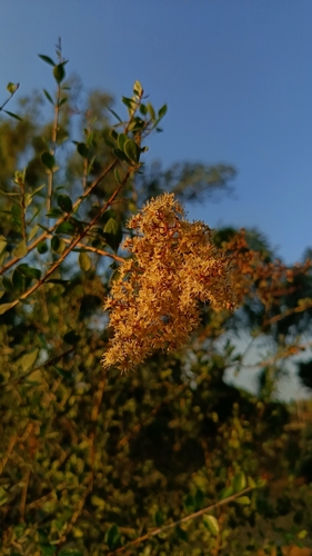
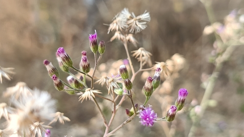

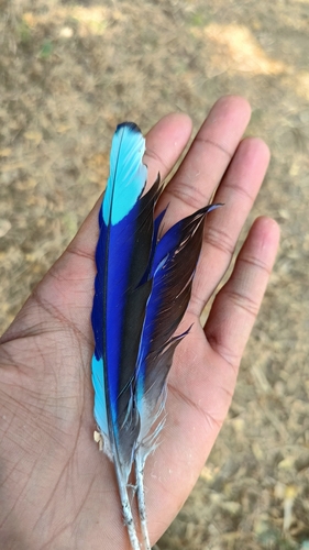
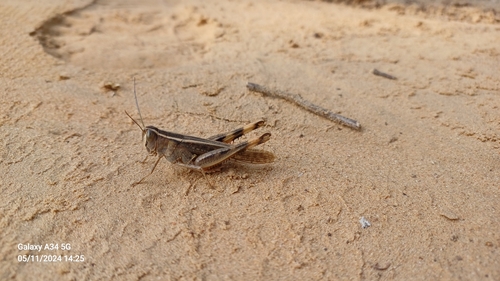
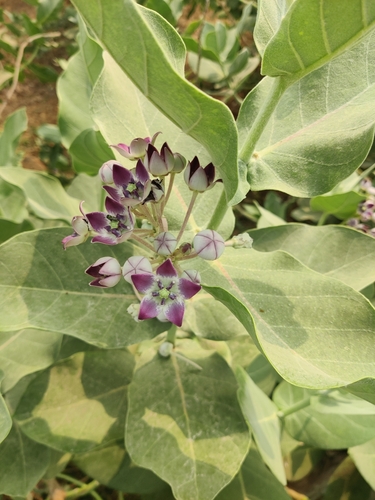
Research-grade observations from iNaturalist (within ~15 mi).
Events
Gallery
Geotagged photos within ~6 miles of Kuchaman, from Wikimedia Commons contributors.
_in_Kuchaman_Fort.jpg)


Photos via Wikimedia Commons — see each image page for license & attribution.
Sources
- • Wikipedia
- • Wikimedia Commons
- • Wikidata
- • USGS Earthquake Catalog (global feed)
- • GBIF (Global Biodiversity Information Facility)
- • iNaturalist
- • Open-Elevation
- • Open-Meteo / sunrise-sunset.org
- • Wikipedia Pageviews API