Browse / India / Karnataka / Kumta
Kumta
Karnatakatown

Featured view
Kumta
Total population
30,000
Coordinates14.43°, 74.41°
Demographic figures from Ministry of Statistics (India). Overview below cites Wikipedia and may reference a different year.
Loading additional data from public sources…0 / 11
CensusWikipediaWeatherPlacesPeopleEnvironmentHealth & SchoolsRelatedGeography & CultureLive MonitoringEvents & Gallery
0% completeCity facts
Overview
Kumta or Kumata is a town and taluk in the Uttara Kannada district of Karnataka, India. It is one of the important stations along the Konkan Railway line running between Mumbai and Mangalore.
Read more on WikipediaHistory & geography
Geography
Latitude
14.4272
Longitude
74.4117
Water area
—
Coordinates & boundaries from the US Census TIGER/Line shapefiles.
Climate
Air quality
Walkability
Amenities nearby
Wildlife & biodiversity
Earthquake history
Photos
Sights & places nearby
Notable people from here

Dinakara Desai
Indian politician and poet

Ramanujan Shankar Hegde
Group Leader, MRC Laboratory of Molecular Biology, University of Cambridge
People born within ~10 km, from Wikidata (CC0). Click any name for their Wikipedia article.
Geography & sun
Avg solar (kWh/m²/day)
5.33
Annual solar (kWh/m²)
1,944
Elevation, sunrise/sunset and daylight from Open-Meteo. Solar climatology from NASA POWER.
Nearby airports
Public attention
Wikipedia views (last 30 days)
27
Avg daily Wikipedia views
2
Attention level
Obscure
Pageview totals from the Wikimedia Pageviews API.
Books about this place
Recent natural events nearby
Ground air-quality sensors
Recently spotted species
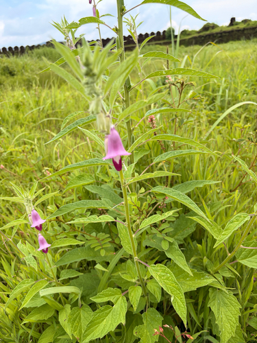
Sesame
Sesamum indicum
Seen 2026-09-14
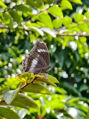
Great Eggfly
Hypolimnas bolina
Seen 2026-09-08
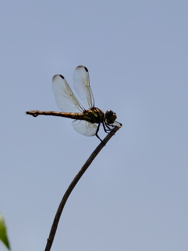
Swampwatcher
Potamarcha congener
Seen 2026-09-08
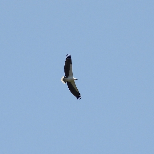
White-bellied Sea-Eagle
Icthyophaga leucogaster
Seen 2026-09-05
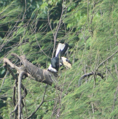
Malabar Pied Hornbill
Anthracoceros coronatus
Seen 2026-09-01
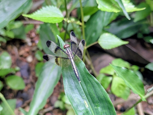
Pied Paddy Skimmer
Neurothemis tullia
Seen 2026-08-05
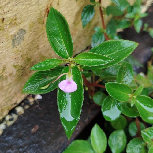
Lesser Balsam
Impatiens minor
Seen 2026-08-05
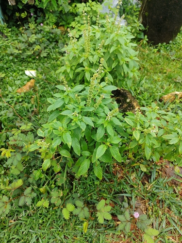
Sweet basil
Ocimum basilicum
Seen 2026-08-05
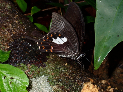
Large-spotted Helen
Papilio daksha
Seen 2026-07-03
Research-grade observations from iNaturalist (within ~15 mi).
Events
Gallery
Sources
- • Wikipedia
- • Wikidata
- • iNaturalist
- • Open-Meteo / sunrise-sunset.org
- • Wikipedia Pageviews API