Browse / India / West Bengal / Lalgola
Lalgola
West Bengaltown
Demographic figures from Ministry of Statistics (India). Overview below cites Wikipedia and may reference a different year.
City facts
Facts from Wikidata (CC0).
Overview
Lalgola is a census town in the Lalgola CD block in the Lalbag subdivision of Murshidabad district, West Bengal. It is situated about 225 kilometres (140 mi) north of Kolkata, near the head of the Ganges delta. It is a terminal railway station on the Ranaghat-Lalgola branch line. The distance between Lalgola railway station and Krishnapur railway station is one of the shortest distance between two railway stations in India (1.7 km). It is also a border checkpoint but presently non functional.
Read more on WikipediaHistory & geography
Geography
Lalgola is located at . It is located near the Padma River, which is the principal distributary of the Ganges, and which forms the border between India and Bangladesh in this area; thus Bangladesh bounds the town on the north and east. The average elevation is about The climate is similar to the rest of Gangetic West Bengal. The maximum temperature during the summer is about ; the minimum during the winter is between . Lalgola is a border checkpoint on the Bangladesh-India border. On the other side is Godagiri, across the Padma. While the Lalbag subdivision is spread across both the natural physiographic regions of the district, Rarh and Bagri, the Domkal subdivision occupies the north-eastern corner of Bagri. In the map alongside, the Ganges/ Padma River flows along the northern portion. The border with Bangladesh can be seen in the north and the east. Murshidabad district shares with Bangladesh a porous international border which is notoriously crime prone (partly shown in this map). The Ganges has a tendency to change course frequently, causing severe erosion, mostly along the southern bank. The historic city of Murshidabad, a centre of major tourist attraction, is located in this area. In 1717, when Murshid Quli Khan became Subahdar, he made Murshidabad the capital of Subah Bangla (then Bengal, Bihar and Odisha). The entire area is overwhelmingly rural with over 90% of the population living in the rural areas. Note: The map alongside presents some of the notable locations in the subdivisions. All places marked in the map are linked in the larger full screen map.
Excerpted from the corresponding Wikipedia article (CC BY-SA).
Geography
Coordinates & boundaries from the US Census TIGER/Line shapefiles.
Climate
Air quality
Walkability
Amenities nearby
Wildlife & biodiversity
Earthquake history
Photos
Sights & places nearby
Notable people from here


People born within ~10 km, from Wikidata (CC0). Click any name for their Wikipedia article.
Nearby places in West Bengal
- Bhagwangola6.8 mi away · pop. 10,000
- Jangipur9.6 mi away
- Raghunathganj12.2 mi away
- Jiaganj Azimganj12.6 mi away
- Sagardighi13.7 mi away
- Murshidabad17 mi away · pop. 44,019
- Aurangabad20 mi away
- Cossimbazar21 mi away
- Paikar21.5 mi away
- Berhampore21.8 mi away · pop. 195,200
- Murarai24.8 mi away
- Dhulian26 mi away · pop. 239,000
Geography & sun
Elevation, sunrise/sunset and daylight from Open-Meteo. Solar climatology from NASA POWER.
Nearby airports
Public attention
Pageview totals from the Wikimedia Pageviews API.
Books about this place
Recent natural events nearby
Ground air-quality sensors
Recently spotted species
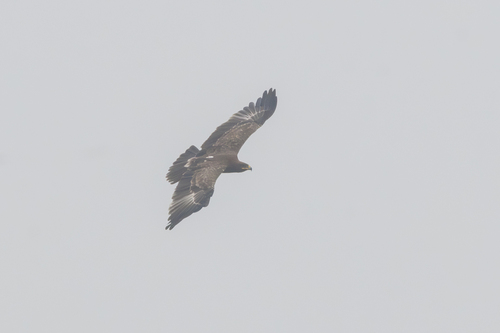

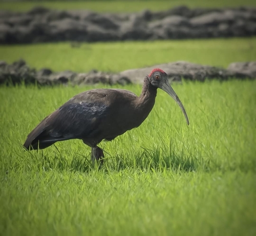
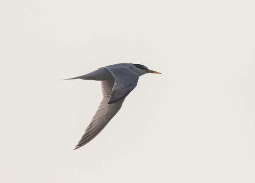
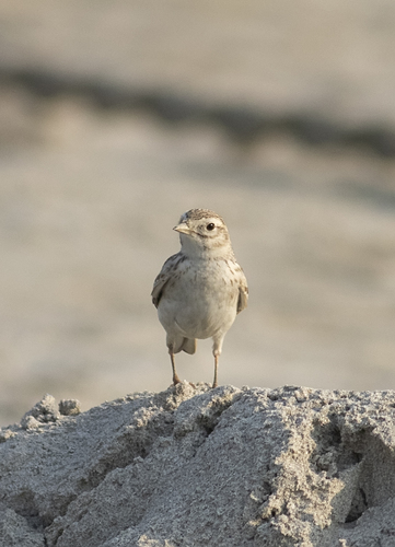
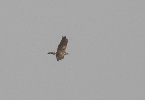
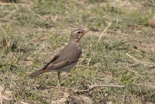
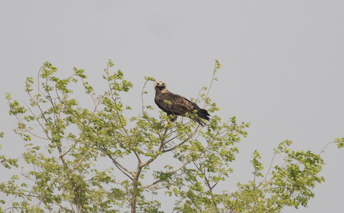
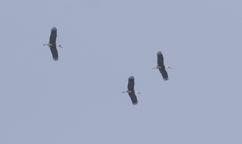
Research-grade observations from iNaturalist (within ~15 mi).
Events
Gallery
Official Identifiers
Local Government Directory (India)
- LGD code
- 314224
- Population (Wikidata)
- 31,698
- Wikidata
- Q6480291
LGD code via Wikidata P5578
Sources
- • Wikipedia
- • Wikidata
- • iNaturalist
- • Open-Meteo / sunrise-sunset.org
- • Wikipedia Pageviews API
- • Local Government Directory (India) — LGD code via Wikidata P5578