Browse / United States / Indiana / Lawrence
Lawrence
Indianacity

Lawrence
Total population
49,517
Median home value
$230,100
Bachelor's+
Median income
$74,022
Demographic figures from US Census Bureau · ACS 5-year estimates. Overview below cites Wikipedia and may reference a different year.
City facts
Facts from Wikidata (CC0).
Overview
Lawrence is a city in Lawrence Township, Marion County, Indiana, United States. It is one of four "excluded cities" in Marion County. The city is home to Fort Benjamin Harrison within Fort Harrison State Park. The population was 49,370 at the 2020 census. The city is on the northeast side of Indianapolis.
Read more on WikipediaHistory & geography
History
The municipality was platted in 1849 under the name "Lanesville", but other names were tried because there was already another Lanesville in Indiana. The name "Jamestown", in honor of the town's founder James White, was used for a while, but in 1866 the Marion County Commissioners approved the name "Lawrence", which is also the name of the township in which it is located. The name was in honor of Captain James Lawrence, naval hero of the War of 1812. In 1929 the citizens of Lawrence voted to become an independent town, where they first established the town marshal, as well as other parts of government. In 1969, Indianapolis and Marion County adopted a unified government structure known as Unigov. Lawrence is one of four "excluded cities" and therefore retains its own municipal government. Its citizens vote not only for the mayor and council of Lawrence, but also for the mayor of Indianapolis and representatives on the Indianapolis City-County Council.
Geography
Lawrence is located in northeastern Marion County. It is bordered to the east by Hancock County, including the town of McCordsville. Downtown Indianapolis is to the southwest. U.S. Route 36 (Pendleton Pike) runs through the city, leading northeast to Pendleton. US 36 intersects Interstate 465, the Indianapolis beltway, at that highway's Exit 42 at the southwest corner of Lawrence. Exit 40 on I-465, with East 56th Street and North Shadeland Avenue, is along the western border of Lawrence. According to the U.S. Census Bureau, Lawrence has a total area of , of which , or 0.48%, are water.
Excerpted from the corresponding Wikipedia article (CC BY-SA).
Demographics & economy
Race & ethnicity
Source: US Census Bureau — American Community Survey, 5-year estimates.
Geography
Coordinates & boundaries from the US Census TIGER/Line shapefiles.
Climate
Current forecast
Forecast for Lawrence, IN from NOAA NWS API.
Air quality
Industrial & pollution facilities
Natural hazard risk
Health (adults)
Age-adjusted prevalence estimates from CDC PLACES (latest release).
Walkability
Amenities nearby
Wildlife & biodiversity
Most-observed species
- Northern CardinalCardinalis cardinalis (Linnaeus, 1758) · Aves31,996
- American RobinTurdus migratorius Linnaeus, 1766 · Aves29,843
- Carolina ChickadeePoecile carolinensis (Audubon, 1834) · Aves23,943
- House SparrowPasser domesticus (Linnaeus, 1758) · Aves23,877
- Blue JayCyanocitta cristata (Linnaeus, 1758) · Aves21,914
- Mourning DoveZenaida macroura (Linnaeus, 1758) · Aves20,902
- American GoldfinchSpinus tristis (Linnaeus, 1758) · Aves20,789
- Downy WoodpeckerDryobates pubescens (Linnaeus, 1766) · Aves20,731
Citizen-science & research observations from the Global Biodiversity Information Facility (GBIF).
Schools
Largest nearby schools
- North Central High SchoolHigh · Indianapolis · 3,628 students · 16.1:1 ratio
- Warren Central High SchoolHigh · Indianapolis · 3,414 students · 18.5:1 ratio
- Lawrence North High SchoolHigh · Indianapolis · 2,861 students · 19.7:1 ratio
- Arsenal Technical High SchoolHigh · Indianapolis · 2,366 students · 17.4:1 ratio
- Lawrence Central High SchoolHigh · Indianapolis · 2,317 students · 19.6:1 ratio
- Fall Creek Valley Middle SchoolMiddle · Indianapolis · 1,351 students · 21.1:1 ratio
- Early Learning CenterElementary · Indianapolis · 1,298 students · 24:1 ratio
- Belzer Middle SchoolMiddle · Indianapolis · 1,183 students · 19.1:1 ratio
Public K–12 schools within ~10 mi from Urban Institute Education Data Portal (NCES Common Core of Data, 2022).
Earthquake history
Most recent
- M 2.5 — 2023-10-317 km ESE of Linden, Indiana
- M 3.8 — 2010-12-306 km SE of Greentown, Indiana
- M 3.8 — 2004-09-124 km NW of Manilla, Indiana
Events from the USGS Earthquake Catalog (global) (FDSN Event Web Service).
Photos
Sights & places nearby
Notable people from here

People born within ~10 km, from Wikidata (CC0). Click any name for their Wikipedia article.
Nearby places in Indiana
- Cumberland6 mi away · pop. 6,267
- Fortville8.6 mi away · pop. 4,976
- Williams Creek8.8 mi away · pop. 417
- Meridian Hills9 mi away · pop. 1,767
- North Crows Nest9.2 mi away
- Spring Lake9.4 mi away · pop. 224
- Crows Nest9.5 mi away
- Rocky Ripple9.8 mi away · pop. 631
- Beech Grove11.6 mi away · pop. 14,913
- Lapel14 mi away · pop. 2,668
- Carrollton14.3 mi away · pop. 267
- Westfield14.6 mi away · pop. 54,677
Geography & sun
Elevation, sunrise/sunset and daylight from Open-Meteo. Solar climatology from NASA POWER.
Nearby airports
Public attention
Pageview totals from the Wikimedia Pageviews API.
Books about Lawrence




Search results from Open Library.
Recent natural events nearby
Ground air-quality sensors
Recently spotted species
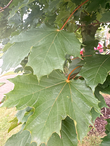


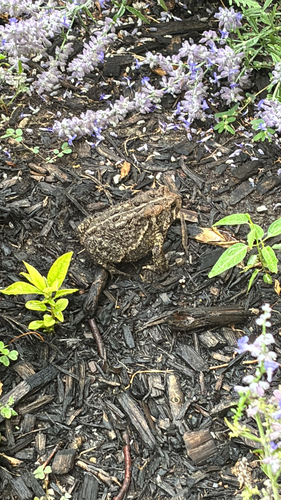
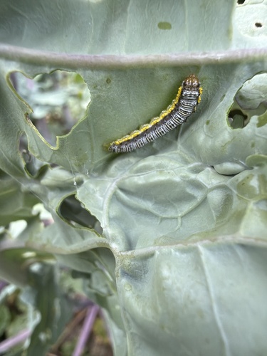
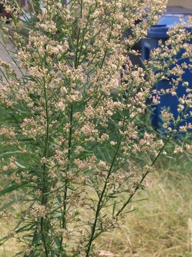
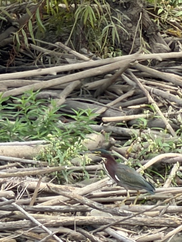
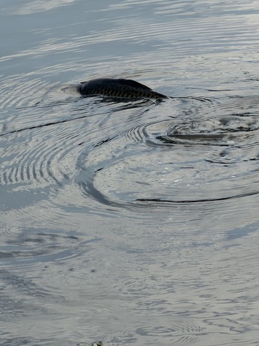
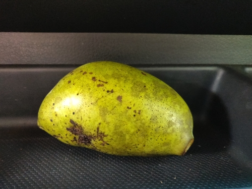
Research-grade observations from iNaturalist (within ~15 mi).
Nearest stream gauge
Events
Gallery
Sources
- • Wikipedia
- • US Census Bureau (ACS 5-year estimates)
- • NOAA National Weather Service
- • Wikidata
- • USGS Earthquake Catalog (global feed)
- • NCES via Urban Institute Education Data Portal
- • GBIF (Global Biodiversity Information Facility)
- • iNaturalist
- • CDC PLACES
- • Open-Meteo / sunrise-sunset.org
- • Wikipedia Pageviews API
- • Open Library