Browse / India / Punjab / Ludhiana
Ludhiana
Punjabcity

Ludhiana
Total population
2,232,000
Demographic figures from Ministry of Statistics (India). Overview below cites Wikipedia and may reference a different year.
City facts
Facts from Wikidata (CC0).
Overview
Ludhiana is the most populous city in the Indian state of Punjab. The city has an estimated population of 1,618,879 as of the 2011 census and distributed over 310 km2 (120 sq mi), making Ludhiana the most densely populated urban centre in the state. It is a major industrial center of Northern India, referred to as "India's Manchester" by the BBC. It is also known as the commercial capital of Punjab.
Read more on WikipediaHistory & geography
History
Although the area around present-day Ludhiana had been inhabited since ancient times, the modern city was established during the late fifteenth century under the Lodi dynasty of the Delhi Sultanate. Prior to its foundation, the region comprised several agricultural settlements located along the southern bank of the Sutlej River, whose course has since shifted further north. During the rule of the Tughlaq dynasty, a fort was constructed to protect the strategic route linking Delhi with north-western India. The fort was captured by the Khokhar ruler Jasrat during his campaign in Punjab in 1421–22, illustrating the declining authority of the Delhi Sultanate in the region. Ludhiana was founded in 1480 during the reign of the Lodi dynasty. According to tradition, Sultan Sikandar Lodi sent two military commanders, Yusuf Khan and Nihad Khan, to restore Lodi authority in Punjab. While Yusuf Khan crossed the Sutlej River and established Sultanpur Lodhi, Nihad Khan founded Ludhiana at the village of Mir Hota. The city's name was originally Lodi-ana, meaning "the town of the Lodis", which gradually evolved into Lodiana and eventually Ludhiana. Following the establishment of the Mughal Empire in 1526, Ludhiana became part of the Lahore Subah. Owing to its location on important commercial routes between Delhi and Lahore, the town developed as a regional trading centre for agricultural produce, textiles and handicrafts. Local administration was carried out through Mughal officials, while the surrounding countryside remained predominantly agrarian. The city was also influenced by the growth of Sikhism. Several Sikh Gurus, including Guru Hargobind, Guru Tegh Bahadur and Guru Gobind Singh, travelled through the region, contributing to the religious significance of nearby…
Geography
Ludhiana is located at . It has an average elevation of . Ludhiana City, to its residents, consists of the Old City and the New City. The new city primarily consists of the Civil Lines area which was historically known as the residential and official quarters of the colonial British encampment. The Old Fort was at the banks of the Sutlej (and now houses the College of Textile Engineering). Legend has it that a tunnel connects it to the fort in Phillaur– although why this should be is debatable, as the Sutlej was the traditional dividing line between the principalities, often occupied by enemy forces (see History section). The tree of largest natural extraction was the kikar, or Acacia Indica, but has been supplanted by the eucalyptus, transplanted from rural Australia in the late 1950s by the Chief Minister Partap Singh Kairon. Ludhiana features a relatively dry monsoon-influenced humid subtropical climate (Cwa) under the Köppen climate classification, although bordering on a hot semi-arid climate (BSh), with three defined seasons; summer, monsoon and winter. Ludhiana on an average sees roughly of precipitation annually. The official weather station for the city is in the compound of the Civil Surgeon's Office to the west of Ludhiana. Weather records here date back to 1 August 1868. Ludhiana has one of the worst air pollution problems in India since 2011, with particulate matter being over six times the World Health Organization recommended standard, making it the 13th most polluted city in the world. Industrial water pollution is also of significant concern in portions of Ludhiana, notably along the Budha Dariya.
Excerpted from the corresponding Wikipedia article (CC BY-SA).
Geography
Coordinates & boundaries from the US Census TIGER/Line shapefiles.
Climate
Air quality
Walkability
Amenities nearby
Wildlife & biodiversity
Earthquake history
Photos
Sights & places nearby
Notable people from here


People born within ~10 km, from Wikidata (CC0). Click any name for their Wikipedia article.
Nearby places in Punjab
- Baía da Traição7686.1 mi away · pop. 9,224
- Aldeia Forte7686.4 mi away
- Aldeia Acajutibiro7686.5 mi away
- Aldeia do Galego7686.8 mi away
- Tapuio7688 mi away
- Camurupim7688.3 mi away
- Barra do Mamanguape7688.3 mi away
- Lagoa de Praia7688.8 mi away
- Aldeia Laranjeira7689 mi away
- Praia de Campina7689.2 mi away
- Praia de Fagundes7690.6 mi away
- Jacaré de César7690.7 mi away
Geography & sun
Elevation, sunrise/sunset and daylight from Open-Meteo. Solar climatology from NASA POWER.
Nearby airports
Public attention
Pageview totals from the Wikimedia Pageviews API.
Books about Ludhiana
Search results from Open Library.
Recent natural events nearby
Ground air-quality sensors
Recently spotted species
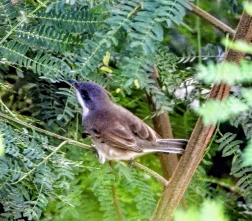
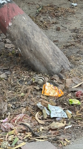
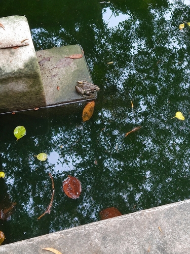
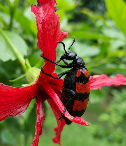
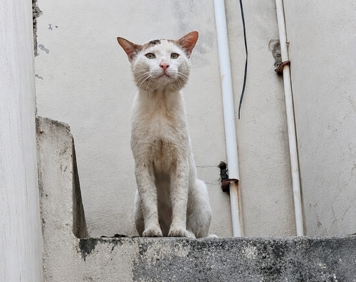
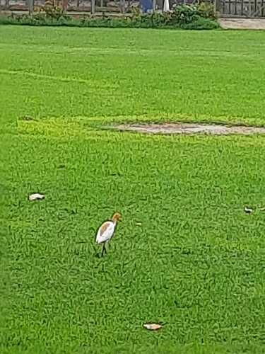
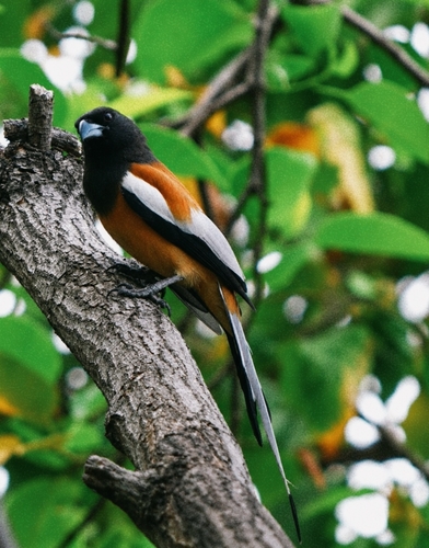

Research-grade observations from iNaturalist (within ~15 mi).
Events
Gallery
Sources
- • Wikipedia
- • Wikidata
- • iNaturalist
- • Open-Meteo / sunrise-sunset.org
- • Wikipedia Pageviews API
- • Open Library