Browse / India / Uttar Pradesh / Mainpuri
Mainpuri
Uttar Pradeshcity
Total population
120,400
Demographic figures from Ministry of Statistics (India). Overview below cites Wikipedia and may reference a different year.
City facts
Facts from Wikidata (CC0).
Overview
Mainpuri is a city in Mainpuri district in the Indian state of Uttar Pradesh. It is the administrative headquarters of Mainpuri district and is 55 km from Etawah and 294 km from New Delhi. Mainpuri is located in the Braj region, which holds special religious significance to Hindus as the homeland of Krishna. As of 2011, Mainpuri had a population of 136,557 in 24,498 households.
Read more on WikipediaHistory & geography
History
According to tradition, a branch of the Chauhan Rajputs came to Mainpuri from Asauli under one Raja Partab Rudr sometime between 1363 and 1391 (1420-1448 samvat). They were accompanied by fighters from the Mathuriya Brahmans, who later became merchants instead. A new site called Mukhamganj, which is now the main part of town, was founded in 1746 by Raja Jaswant Singh on the Grand Trunk Road. It was named after Mukham Singh, who is variously recorded as a son of Jaswant's who was born out of wedlock or as his own childless brother. The new town quickly grew as people moved here from the town of Karimganj, further north. Mukhamganj quickly eclipsed Karimganj, which dwindled from a large town to a smaller village. In 1802, the British founded a civil station just east of Mainpuri to serve as the headquarters of the new Etawah district. The civil station consisted of three settlements: Gola Bazar, Nagla Chamaran, and Nagla Pazawa. Due to its position as an administrative headquarters, the entire town of Mainpuri quickly grew. In 1804, it was attacked and pillaged by forces under Yashwant Rao Holkar, the Maratha ruler of Indore. Major construction was done in Mainpuri from 1848 to 1850, involving the Raikesganj marketplace and a school, and again in the 1870s, involving three marketplaces, a post office, more schools, and a drainage system for the city. The three marketplaces built in the 1870s included one for vegetable produce, one for ghee and cotton, and one, called Laneganj after its builder, for grain. Laneganj, which replaced Raikesganj as the city's main grain market, stretched from the Raikesganj sarai in the south to the intersection of the Katra and Kuraoli roads in the north, on the border with Mainpuri Khas. A large masonry tank was also built next to the…
Geography
Mainpuri is located on a branch of the historical Grand Trunk Road, about 55 km from the city of Etawah and 116 km from the city of Agra. The Isan river is on the east side of town. Mainpuri is about 5 km downstream from the point where the Isan receives the Kak Nadi as a tributary. In this area, up until about 1 km downstream of Mainpuri, the Isan has a relatively shallow bed and often overflows during the monsoon season. Three bridges cross the Isan river in Mainpuri; the northernmost is by the Devi temple on the road to Kuraoli. The soil in this area is a mix of loam and usar. On the south of Mainpuri is the railway, along with the train station. Mainpuri railway station was deliberately built in the middle of an unproductive usar plain so it wouldn't take away from the available farmland. }}
Excerpted from the corresponding Wikipedia article (CC BY-SA).
Geography
Coordinates & boundaries from the US Census TIGER/Line shapefiles.
Climate
Air quality
Walkability
Amenities nearby
Wildlife & biodiversity
Most-observed species
- Indian PeafowlPavo cristatus Linnaeus, 1758 · Aves5
- Sarus craneGrus antigone (Linnaeus, 1758) · Aves4
- Red-vented BulbulPycnonotus cafer (Linnaeus, 1766) · Aves4
- Black DrongoDicrurus macrocercus Vieillot, 1817 · Aves4
- Rock PigeonColumba livia J.F.Gmelin, 1789 · Aves4
- Rose-ringed ParakeetPsittacula krameri (Scopoli, 1769) · Aves3
- Egyptian VultureNeophron percnopterus (Linnaeus, 1758) · Aves3
- Ashy PriniaPrinia socialis Sykes, 1832 · Aves3
Citizen-science & research observations from the Global Biodiversity Information Facility (GBIF).
Earthquake history
Events from the USGS Earthquake Catalog (global) (FDSN Event Web Service).
Photos
Sights & places nearby
Notable people from here


People born within ~10 km, from Wikidata (CC0). Click any name for their Wikipedia article.
Nearby places in Uttar Pradesh
- Bhongaon9.7 mi away · pop. 5,000
- Kuraoli12.3 mi away
- Karhal16.4 mi away · pop. 5,000
- Bewar16.6 mi away · pop. 5,000
- Aliganj20.5 mi away · pop. 5,000
- Bhargain26.9 mi away
- Shikohabad28.3 mi away · pop. 107,400
- Kaimganj29.5 mi away · pop. 1,000
- Chhibramau29.7 mi away · pop. 5,000
- Etawah31 mi away · pop. 100,000
- Patiyali32 mi away
- Etah32.3 mi away · pop. 118,500
Geography & sun
Elevation, sunrise/sunset and daylight from Open-Meteo. Solar climatology from NASA POWER.
Nearby airports
Public attention
Pageview totals from the Wikimedia Pageviews API.
Books about Mainpuri
Search results from Open Library.
Recent natural events nearby
Ground air-quality sensors
Recently spotted species
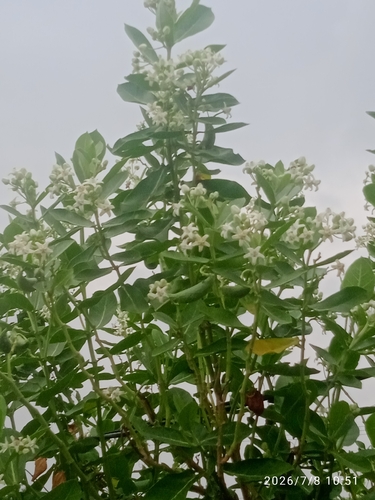
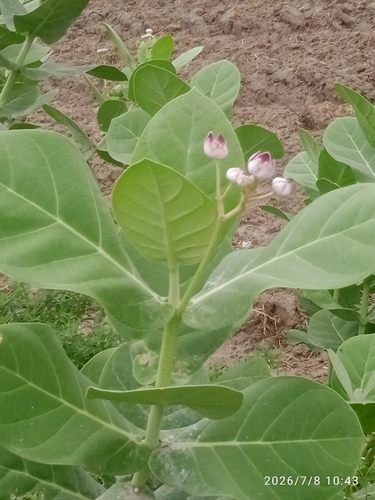
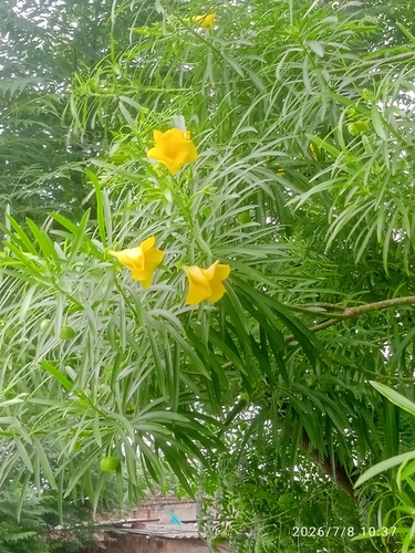
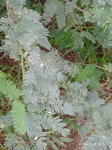
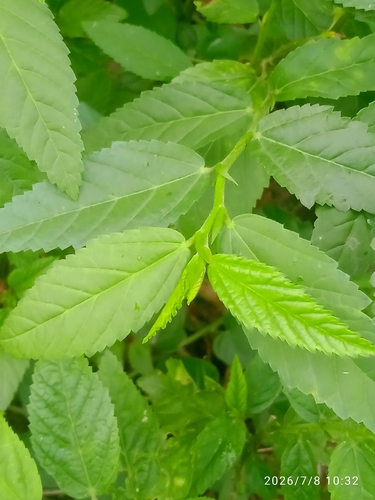
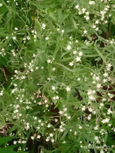
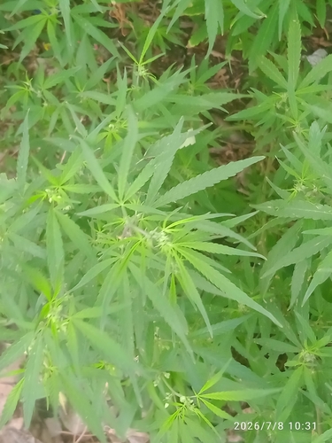
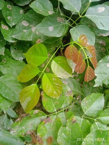
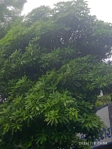
Research-grade observations from iNaturalist (within ~15 mi).
Events
Gallery
Sources
- • Wikipedia
- • Wikidata
- • USGS Earthquake Catalog (global feed)
- • GBIF (Global Biodiversity Information Facility)
- • iNaturalist
- • Open-Meteo / sunrise-sunset.org
- • Wikipedia Pageviews API
- • Open Library