Browse / India / Karnataka / Mandya
Mandya
Karnatakacity

Mandya
Total population
137,400
Demographic figures from Ministry of Statistics (India). Overview below cites Wikipedia and may reference a different year.
City facts
Facts from Wikidata (CC0).
Overview
Mandya is a city, also taluka in the state of Karnataka. It is the headquarters of Mandya district. It is also called Sugar City because sugarcane is a major crop grown here, and sugar factories contribute to the major economic output. The district offices are located here. The city has been divided into 35 wards of the Mandya City Municipal Council.
Read more on WikipediaHistory & geography
History
Mandya celebrated its 75th year anniversary (Amrutha Mahothsava) in 2015. The KRS dam was built by Krishna Raja Wadiyar IV and M. Visvesvaraya in Mandya, opening in 1932. Mandya is home to a number of historically important sites. In 2016, Archaeological Survey of India (ASI) excavated another statue of Bahubali, a much revered figure among Jains. He was the son of Adinath, the first tirthankara of Jainism, and the younger brother of Bharata Chakravartin, identified with the 3rd – 9th centuries in Arthipura, Mandya district. The excavation is expected to be completed by 2018. The Archaeological Survey of India has also excavated an 8th-century statue of Bahubali in Arthipura, Maddur, Mandya, Karnataka, that is wide and tall. Mandya RTO Code is KA11
Geography
Mandya is located at . It has an average elevation of .
Excerpted from the corresponding Wikipedia article (CC BY-SA).
Geography
Coordinates & boundaries from the US Census TIGER/Line shapefiles.
Climate
Air quality
Walkability
Amenities nearby
Wildlife & biodiversity
Earthquake history
Photos
Sights & places nearby
Notable people from here
Geography & sun
Elevation, sunrise/sunset and daylight from Open-Meteo. Solar climatology from NASA POWER.
Nearby airports
Public attention
Pageview totals from the Wikimedia Pageviews API.
Books about Mandya
Search results from Open Library.
Recent natural events nearby
Ground air-quality sensors
Recently spotted species
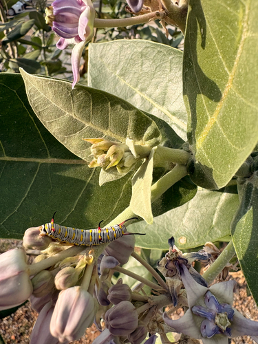

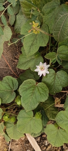
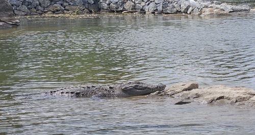
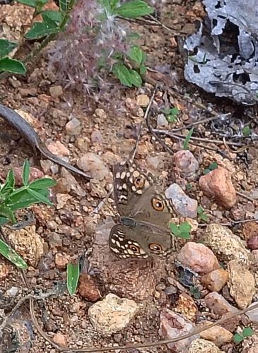
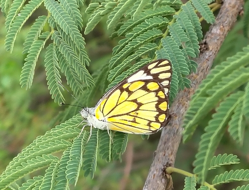
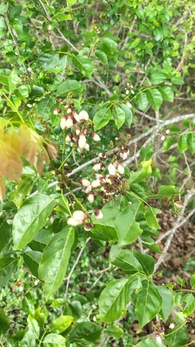
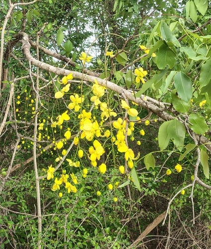
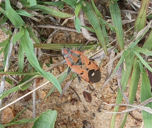
Research-grade observations from iNaturalist (within ~15 mi).
Events
Gallery
Official Identifiers
Local Government Directory (India)
- LGD code
- 803168
- Population (Wikidata)
- 131,211
- Wikidata
- Q1006277
LGD code via Wikidata P5578
Sources
- • Wikipedia
- • Wikidata
- • iNaturalist
- • Open-Meteo / sunrise-sunset.org
- • Wikipedia Pageviews API
- • Open Library
- • Local Government Directory (India) — LGD code via Wikidata P5578