Browse / India / West Bengal / Mirik
Mirik
West Bengaltown

Mirik
Demographic figures from Ministry of Statistics (India). Overview below cites Wikipedia and may reference a different year.
City facts
Facts from Wikidata (CC0).
Overview
Mirik is a small town and a Notified Area of Darjeeling district ruled by Shri L.B.Rai since 30years in the state of West Bengal, India. It is the headquarters of the Mirik subdivision. The name Mirik comes from the Lepcha words Mir-Yok meaning "place burnt by fire".
Read more on WikipediaHistory & geography
History
Mirik Bazar began a commercial centre of the region where people from the surrounding villages and tea gardens came to trade and buy their necessities. The present lake area was a marshland with thick growth of sweet flag (Acorus calamus, locally called bojho). A playground stood in the present garden area where the British officers played polo. In 1969, the West Bengal tourism department began the process of acquiring 335 acres of land from the neighbouring Thurbo tea estate. The work of developing this land into a tourist spot began in 1974 when Siddhartha Shankar Ray was the chief minister of West Bengal. The tourist spot, which included the newly built lake and the Day Centre, was inaugurated by the next chief minister of West Bengal, Jyoti Basu, in April 1979. With the flourishing of tourism, Krishnanagar developed on the other end of the lake with hotels and restaurants catering to tourists. Mirik became the sub-divisional headquarters of Mirik subdivision on 30 March 2017.
Geography
Mirik has become a tourist destination for its climate, natural environment and easy accessibility. The centre of all attraction is Sumendu Lake, surrounded by a garden named Savitri Pushpaudyan (after Savitri Thapa, a martyr soldier of INA) on one side and pine trees on the other, linked together by an arching footbridge called Indreni Pool (named after Indreni Thapa, a martyr soldier of INA). A 3.5-km-long road encircles the lake and is used for walks with the view of Kangchenjunga on the far horizon. Boating on the quaint boats and horse riding are available. Mirik has an average elevation of . The highest point is the Bokar Monastery at about . Mirik lake at about is the lowest point. Mirik is northwest of Siliguri city and south-southwest of Darjeeling town. Mirik subdivision. The name Mirik comes from the Lepcha words Mir-Yok meaning "place burnt by fire". The map alongside shows a part the southern portion of the Darjeeling Himalayan hill region in the Darjeeling district. In the Darjeeling Sadar subdivision 61.00% of the total population lives in the rural areas and 39.00% of the population lives in the urban areas. In the Mirik subdivision 80.11% of the total population lives in the rural areas and 19.89% lives in the urban areas. There are 78 tea gardens/ estates (the figure varies slightly according to different sources), in the district, producing and largely exporting Darjeeling tea. It engages a large proportion of the population directly/ indirectly. Some tea gardens were identified in the 2011 census as census towns or villages. Such places are marked in the map as CT (census town) or R (rural/ urban centre). Specific tea estate pages are marked TE. Note: The map alongside presents some of the notable locations in the subdivision. All places…
Excerpted from the corresponding Wikipedia article (CC BY-SA).
Geography
Coordinates & boundaries from the US Census TIGER/Line shapefiles.
Climate
Air quality
Walkability
Amenities nearby
Wildlife & biodiversity
Earthquake history
Photos
Sights & places nearby
Notable people from here
Nearby places in West Bengal
Geography & sun
Nearby airports
Public attention
Books about this place
Recent natural events nearby
Ground air-quality sensors
Recently spotted species

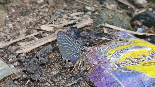
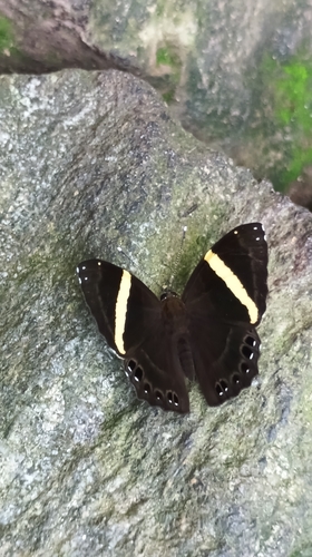
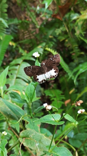

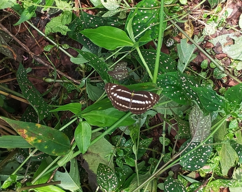
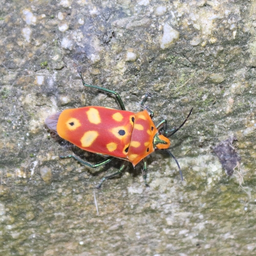

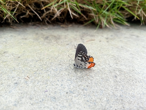
Research-grade observations from iNaturalist (within ~15 mi).
Events
Gallery
Official Identifiers
Local Government Directory (India)
- LGD code
- 801636
- Population (Wikidata)
- 11,513
- Wikidata
- Q2733296
LGD code via Wikidata P5578
Sources
- • Wikipedia
- • Wikidata
- • iNaturalist
- • Local Government Directory (India) — LGD code via Wikidata P5578