Browse / India / Gujarat / Modasa
Modasa
Gujarattown
Demographic figures from Ministry of Statistics (India). Overview below cites Wikipedia and may reference a different year.
City facts
Facts from Wikidata (CC0).
Overview
Modasa is a city and a municipality in Aravalli district in the Indian state of Gujarat.
Read more on WikipediaHistory & geography
History
The history of Modasa dates back thousands of years. It is believed that region around Modasa has been populated since the days of Indus valley civilization. Many architectural items, coins, religious artifacts, brick etc. are found at excavation sites around Modasa. These findings are evidence of the prominent role Modasa played during various periods of Indian history. Modasa has been place of significance in the times of Mauryas, Shatvahns, Kshtraps Guptas, Maritrakas, Rastrakutas etc. Copper plates with inscription from the reigns of King bhoja were found in Kokapur, Modasa. Modasa is also referred in the Harsola copper plate as one of the town granted by king Siyaka. It was an important frontier fortified post during Gujarat Sultanate (1415) under Sultan Ahmed Shah I. During Mughal times it served as a resting place for travellers to Mecca via Surat port. At the close of the sixteenth century it was the chief place in a tract of 162 villages, yielding a yearly revenue of £80,000 (Rs. 8,00,000). Under the Mughals, Shahab-ud-din, the 3rd Viceroy (1577-1583), repaired the fort at Modasa, and stationing a party of cavalry there completely settled the country. During the eighteenth century Modasa greatly declined, and when (1818) it came under British management, the town was most backward. Quickly recovering, it had in 1825 a numerous and respectable body of traders with an estimated capital of £90,000 (Rs. 9,00,000). There was a British passenger ship named after Modasa. The SS Modasa was one of a class of six near-sister ships owned by British-India Steam Navigation Co. Built by Swan Hunter & Wigham Richardson.
Geography
Modasa is located at . It has an average elevation of 197 metres (646 feet). Most of the water for Modasa comes from the Mazum river, on which, about 5 kilometers from Modasa, the Mazum reservoir is situated.
Excerpted from the corresponding Wikipedia article (CC BY-SA).
Geography
Coordinates & boundaries from the US Census TIGER/Line shapefiles.
Climate
Air quality
Walkability
Amenities nearby
Wildlife & biodiversity
Earthquake history
Photos
Sights & places nearby
Notable people from here


People born within ~10 km, from Wikidata (CC0). Click any name for their Wikipedia article.
Geography & sun
Nearby airports
Public attention
Books about this place
Recent natural events nearby
Ground air-quality sensors
Recently spotted species
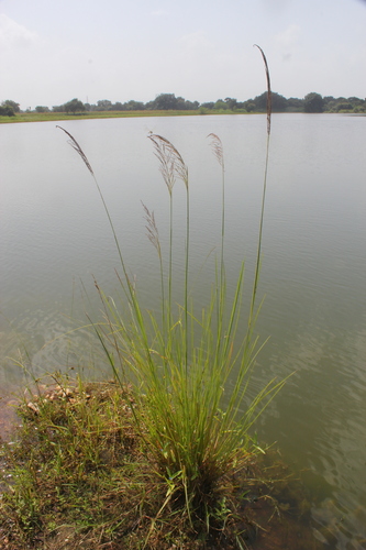
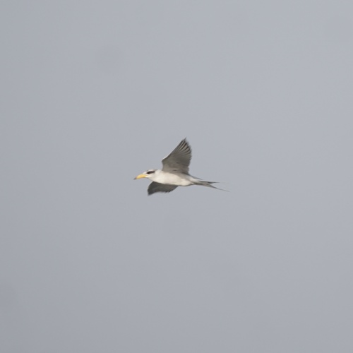
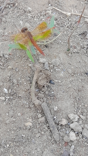
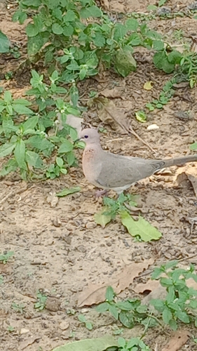
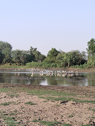
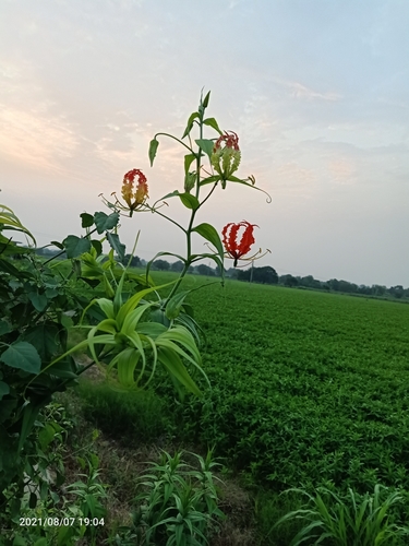
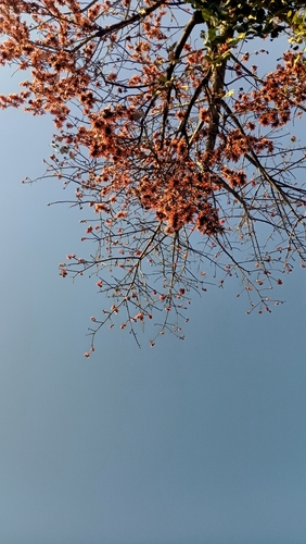
Research-grade observations from iNaturalist (within ~15 mi).
Events
Gallery
Sources
- • Wikipedia
- • Wikidata
- • iNaturalist