Browse / India / Karnataka / Moodabidri
Moodabidri
Karnatakatown

Moodabidri
Total population
25,000
Demographic figures from Ministry of Statistics (India). Overview below cites Wikipedia and may reference a different year.
City facts
Facts from Wikidata (CC0).
Overview
Moodabidri or Moodubidire is a city and taluk in Dakshina Kannada district. It lies 34 km northeast of the district headquarters, Mangaluru, in Karnataka, India.
Read more on WikipediaHistory & geography
History
Moodabidri was ruled by the Jain Chowta dynasty 1603, who moved their capital to Moodabidri in 1603. They lost power when the region was taken over by Tipu Sultan They continued symbolic rituals after the British defeated Tipu Sultan. The last coronation at Moodabidri was done in 1865 according to a pattavali. There are 18 lakes, 18 Jaina Basadis, 18 temples, and 18 roads connecting various villages in Moodbidri. During 14th–16th centuries this town emerged as a center of Jain religion, culture, art and architecture. 18 Jain temples, known as Basadis, were constructed during this period. The Jain Math at Moodabidri is headed by a Bhattaraka belonging to the Mula Sangh order. The most famous among them are Guru basadi, Tribhuvana Tilaka Chudamani Basadi (known as "Thousand Pillar Temple") and Ammanavara Basadi. *Guru basadi is the earliest of the Jain monuments. A stone idol of Parshwanatha, about 3.5 metres tall, is installed in the sanctum of this basadi. Here the rare Jain palm leaf manuscripts of 12th century A.D. known as ‘Dhavala texts’ are preserved. *Saavira Kambada Basadi basadi is the largest and the most ornate of the Jain temples of this region. People also call this temple Thousand Pillared Temple or Tribhuvana Tilaka Chudamani. This is a large granite temple built in 1430 A.D. The 2.5 metres tall bronze image of Lord Chandranatha Swami in the sanctum of this basadi is considered to be very sacred. This three-storey construction was supported by the rulers, the Jain Bhattaraka Swamiji, merchants and the common people. The temple has an open pillared hall in front, consisting of a large variety of ornate pillars decorated with carvings typical of Vijayanagara style. A 15-meter tall single stone pillar called manastambha stands in front of the basadi.…
Excerpted from the corresponding Wikipedia article (CC BY-SA).
Geography
Coordinates & boundaries from the US Census TIGER/Line shapefiles.
Climate
Air quality
Walkability
Amenities nearby
Wildlife & biodiversity
Earthquake history
Photos
Sights & places nearby
Notable people from here


People born within ~10 km, from Wikidata (CC0). Click any name for their Wikipedia article.
Geography & sun
Elevation, sunrise/sunset and daylight from Open-Meteo. Solar climatology from NASA POWER.
Nearby airports
Public attention
Pageview totals from the Wikimedia Pageviews API.
Books about this place
Recent natural events nearby
Ground air-quality sensors
Recently spotted species
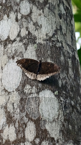
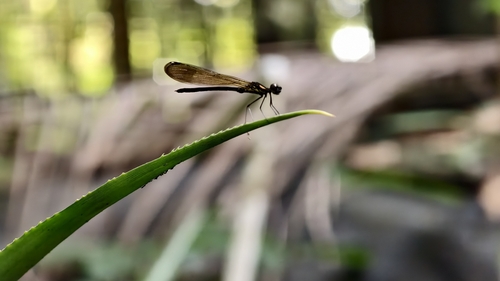
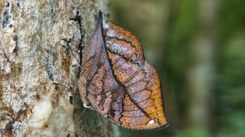
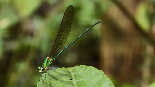
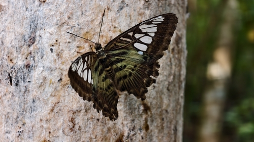

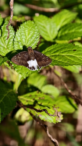
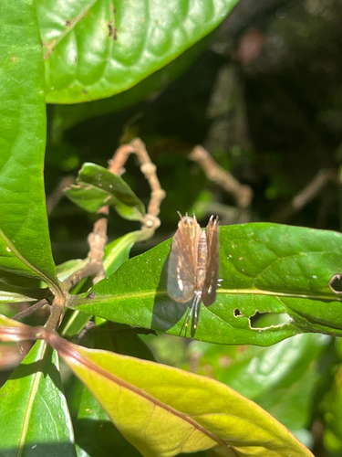
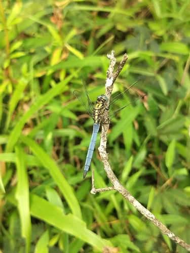
Research-grade observations from iNaturalist (within ~15 mi).
Events
Gallery
Sources
- • Wikipedia
- • Wikidata
- • iNaturalist
- • Open-Meteo / sunrise-sunset.org
- • Wikipedia Pageviews API