Browse / India / Uttar Pradesh / Moradabad
Moradabad
Uttar Pradeshcity

Moradabad
Founded
1625
Demographic figures from Ministry of Statistics (India). Overview below cites Wikipedia and may reference a different year.
City facts
Facts from Wikidata (CC0).
Overview
Moradabad is an industrial city, police commissionerate and municipal corporation in Moradabad district of the Indian state of Uttar Pradesh. It is on the banks of the Ramganga river, 165 km (103 mi) from the national capital, New Delhi and 356 km north-west of the state capital, Lucknow. Based on the 2011 census, it is the tenth most populous city in the state and 54th most populous city in the country. It is one of the largest cities in the Western UP region, and a hub for employment, education, industry, culture and administration.
Read more on WikipediaHistory & geography
History
Moradabad was originally part of the Katehr (pronounced K-the-r) region, and was a stronghold of the Katheria Rajputs. It produced a revenue of 1,340,812 dams for the imperial treasury and provided a force of five hundred infantry and a hundred cavalry to the Mughal army. In 1624, a Katheria leader of Rampur, Raja Ram Singh, invaded the Tarai region. The raja of Kumaon Kingdom complained about it to Mughal emperor Shah Jahan, who sent his general and governor of Sambhal district Rustam Khan Dakhani to deal with the disturbance. Rustam Khan captured Chaupala, put Ram Singh to death, and refounded the city as Rustamnagar. He built a fort and mosque (Jama Masjid) on the banks of Ramganga river, and shifted the capital from Sambhal to the new city. It was the first Jama Masjid to be built on the banks of a river, and is still there, with an inscription dated to 1632. For ordinary people, average income and wages almost halved. The discontent this produced led to the rebellion against British rule in 1857. On April 30, 1858, the British rule over Moradabad was re-established. When the movement began in 1932, Moradabad's people took part to protest against the unlawful arrests and repression of freedom fighters. The Quit India Movement saw large-scale violence in Moradabad, including a massacre at Pan Dariba in which six people were killed and more than two hundred injured by the police firing on the protesters. There were more protests and violence in the city afterwards. The immediate catalyst for rioting was a rumour that a stray animal had entered the Eidgah on 13 August 1980, the day of Eid al-Fitr when more than 50,000 Muslims had gathered at the Eidgah for their prayers. When the Muslims asked the police on duty to remove the animal, it led to heated arguments…
Geography
Moradabad is in the Western part of Uttar Pradesh at 28°49′55″N 78°46′35″E. The city has an area of 79 km square, and is in the upper part of Ganga's plains. It is surrounded by rural towns and villages, including Dalpatpur, Pakbada, Fatehpur Khas, Lodhipur, Ratanpur, Husainpur Hamir, Dilari, Bijna and Ghatuawala, making up the Moradabad district. The city is in the high damage risk Seismic Zone IV, which means it is an earthquake-prone area. The city is rich in groundwater resources. It is at an elevation of 198 meters from sea level on the banks of the Ramganga river, which is a tributary of the Ganges. Another small river, called Gagan, flows through the city. These rivers form the main water flow system of the city, with direction of the flow north-west to south-east. The city has minimal forest cover, but green zones have been established in some areas. There are at least 29 trees in the city that are more than a hundred years old, all of which have been preserved under the city administration's Green Heritage project. Most of these trees fall in the central Civil Lines area of the city, and they include Neem, Banyan, Indian Blackberry and Ficus virens. The soil in the city is loam and clay loam with high fertility.
Excerpted from the corresponding Wikipedia article (CC BY-SA).
Geography
Coordinates & boundaries from the US Census TIGER/Line shapefiles.
Climate
Air quality
Walkability
Amenities nearby
Wildlife & biodiversity
Earthquake history
Photos
Sights & places nearby
Notable people from here
Geography & sun
Elevation, sunrise/sunset and daylight from Open-Meteo. Solar climatology from NASA POWER.
Nearby airports
Public attention
Pageview totals from the Wikimedia Pageviews API.
Books about Moradabad
Search results from Open Library.
Recent natural events nearby
Ground air-quality sensors
Recently spotted species
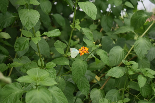
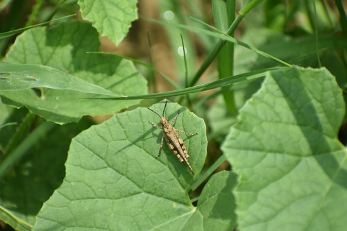
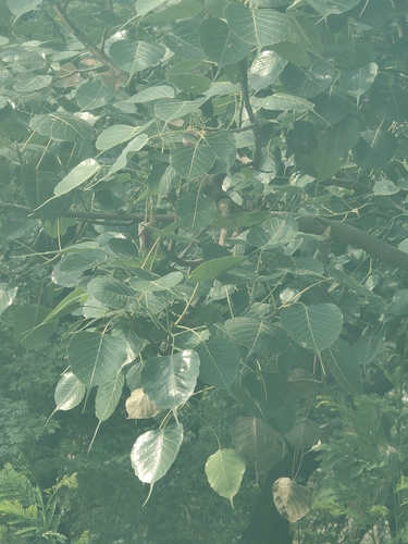
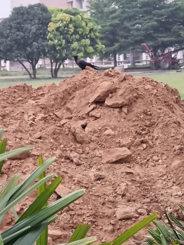
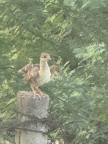
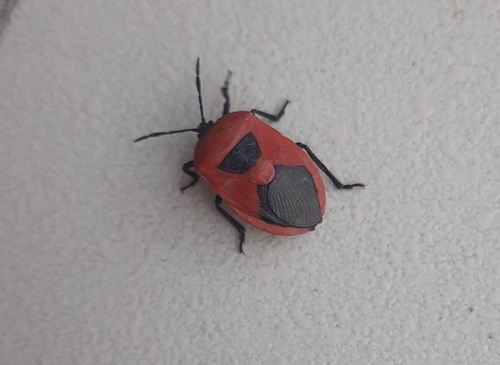

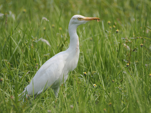
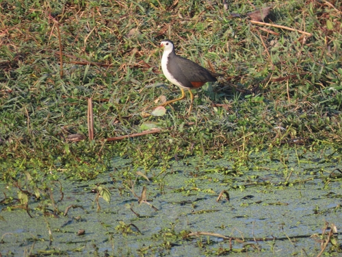
Research-grade observations from iNaturalist (within ~15 mi).
Events
Gallery
Sources
- • Wikipedia
- • Wikidata
- • iNaturalist
- • Open-Meteo / sunrise-sunset.org
- • Wikipedia Pageviews API
- • Open Library