Browse / India / Maharashtra / Nandura
Nandura
Maharashtratown
Total population
42,200
Demographic figures from Ministry of Statistics (India). Overview below cites Wikipedia and may reference a different year.
City facts
Facts from Wikidata (CC0).
Overview
Nandura (नांदुरा) is a city in Buldhana district in Maharashtra state. Nandura is the headquarters of Nandura taluka. Nandura is situated on the National Highway 53 and the Howrah–Nagpur–Mumbai line. The municipality of Nandura was established during the British Raj in 1931.
Read more on WikipediaHistory & geography
History
According to 'Mahagovind Sutant' a Buddhist novel, Nandura was established in ancient time. It was capital of Asmaka kingdom (one of the 16 ancient kingdoms (Mahajanapadas) in ancient India (2600 B.C.). Nandura was called as 'Potan' at that time. According to Ain-i-Akbari, Nandura was an integral part of Gulshan-e-Berar in the Medieval era, beginning in the Khalji dynasty until the Mughal Empire. Various links to Peshwa are also found in the history of Nandura. Nawab Amirullah Khan was one of the Nawab in the late 1800 AD history of Nandura. It relates to Nizam of Hyderabad also known as Dakkan. Nandura was under jurisdiction of Akola district. After August 1905, it became the part of Buldhana district.
Geography
Nandura was a twin city; Nandura Budruk (Greater Nandura) is separated from the original village of the same name, Nandura Khurd (Little Nandura) by the Dnyanganga River, though the village is officially considered as the part of Nandura itself.actually Nandura get extended by another 5 small villages named as Ahamadpur, Mahamadpur, Peth, Khudavantpur, New Jigaon and Kolamba. It has become bigger city with Jigaon Project as one of the bigger dam so around 20 villages which are affected by this project totally depend upon this city and making it as bigger trade hub. The city expanded towards Nimgaon in the North, Wadi in the west, Aamsari in the east and Kolamba in the South. It connected by Rail network Howrah–Nagpur–Mumbai line and National Highway 53. Nandura has a 105 feet tall statue of Hanuman biggest Hanuman statue in the world, this hanuman statue is noted in Limca Book of Records and a historical place named Ambadevigad about 1000 year ancient.
Excerpted from the corresponding Wikipedia article (CC BY-SA).
Geography
Coordinates & boundaries from the US Census TIGER/Line shapefiles.
Climate
Air quality
Walkability
Amenities nearby
Wildlife & biodiversity
Earthquake history
Photos
Sights & places nearby
Notable people from here
People born within ~10 km, from Wikidata (CC0). Click any name for their Wikipedia article.
Geography & sun
Elevation, sunrise/sunset and daylight from Open-Meteo. Solar climatology from NASA POWER.
Nearby airports
Public attention
Pageview totals from the Wikimedia Pageviews API.
Books about this place
Recent natural events nearby
Ground air-quality sensors
Recently spotted species


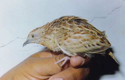
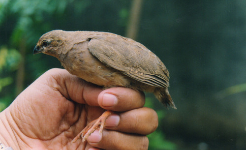
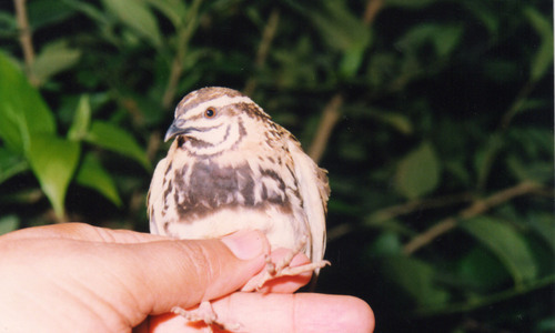
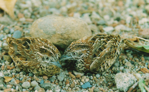
Research-grade observations from iNaturalist (within ~15 mi).
Events
Gallery
Sources
- • Wikipedia
- • Wikidata
- • iNaturalist
- • Open-Meteo / sunrise-sunset.org
- • Wikipedia Pageviews API