Browse / India / Andhra Pradesh / Nandyal
Nandyal
Andhra Pradeshtown

Nandyal
Total population
200,516
Demographic figures from Ministry of Statistics (India). Overview below cites Wikipedia and may reference a different year.
City facts
Overview
Nandyal commonly called as Nandyala, is the administrative headquarters of the Nandyal district in the Rayalaseema region of Andhra Pradesh, India. It was officially formed as a separate district on April 4, 2022, after being carved out of the larger Kurnool district. The town is situated at an elevation of approximately 203 meters above sea level and is surrounded by the scenic Nallamala and Erramala mountain ranges. It is a Municipal corporation and the headquarters of Nandyal mandal in Nandyal revenue division.
Read more on WikipediaHistory & geography
History
The Nandyal district contains some of the oldest records of human habitation in South India. The Yerramala and Nallamala hill ranges feature extensive Paleolithic and Mesolithic rock art sites, most notably at Ketavaram and Yaganti, dating back over 35,000 years. The region was later ruled by the Mauryan Empire under Ashoka (3rd Century BCE)—as evidenced by nearby minor rock edicts at Yerragudi—followed by nearly four centuries of Satavahana Dynasty rule. Between the 7th and 14th centuries CE, the region was governed by the Badami Chalukyas, the Renadu Cholas, and the Kakatiya Dynasty of Warangal. The Chalukyas laid the architectural foundations of the region, including the early stone structures of the Mahanandiswara Swamy Temple in the 7th century. In the 10th century, local Nanda kings formalized the sacred Nava Nandulu (Nine Nandis) pilgrimage circuit centered around Nandyal town. The region reached its cultural and architectural zenith under the Vijayanagara Empire (1336–1646). Emperors like Krishnadevaraya took a personal interest in the district, fortifying towns and issuing massive land grants to major spiritual centers like Ahobilam, Mahanandi, and Srisailam. The empire introduced standard Dravidian architecture to local temples, including towering Gopurams and intricately carved Mandapas (pillared halls). Following the fall of Vijayanagara at the Battle of Talikota (1565), control shifted to the Golconda Sultanate and later to the Mughal Empire under Aurangzeb in 1687. A defining historical feature of this period was the establishment of the autonomous Banaganapalli Princely State, ruled by a Shi'ite Muslim dynasty of Nawabs, which lasted until Indian independence. In 1800, the Nizam of Hyderabad transferred the region to the British East India Company,…
Excerpted from the corresponding Wikipedia article (CC BY-SA).
Geography
Coordinates & boundaries from the US Census TIGER/Line shapefiles.
Climate
Air quality
Walkability
Amenities nearby
Wildlife & biodiversity
Earthquake history
Photos
Sights & places nearby
Notable people from here
Nearby places in Andhra Pradesh
Geography & sun
Elevation, sunrise/sunset and daylight from Open-Meteo. Solar climatology from NASA POWER.
Nearby airports
Public attention
Pageview totals from the Wikimedia Pageviews API.
Books about Nandyal
Search results from Open Library.
Recent natural events nearby
Ground air-quality sensors
Recently spotted species
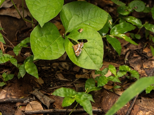
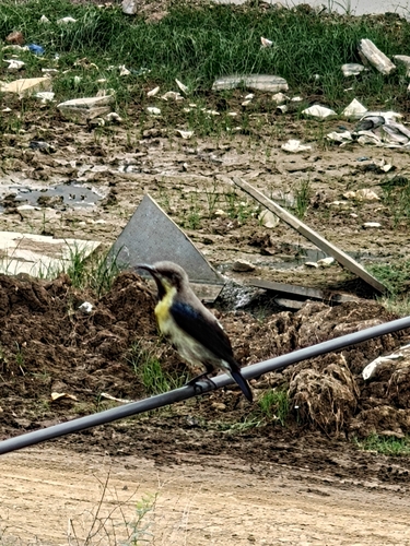
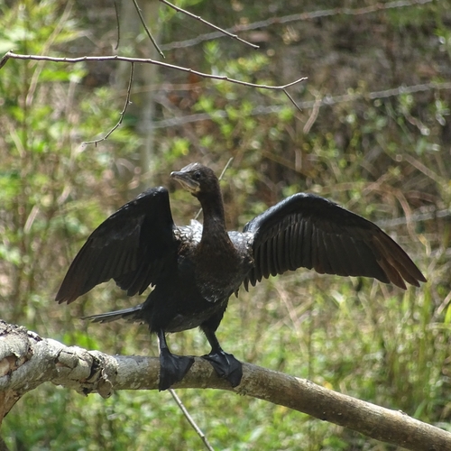

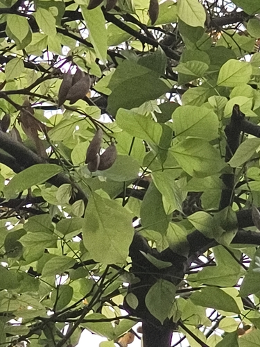
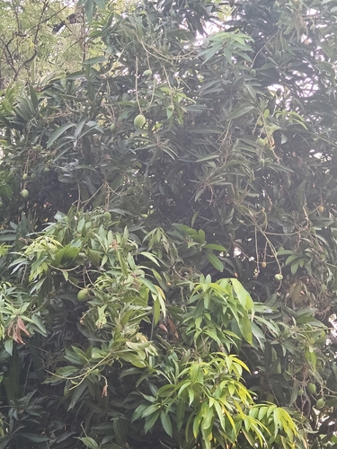
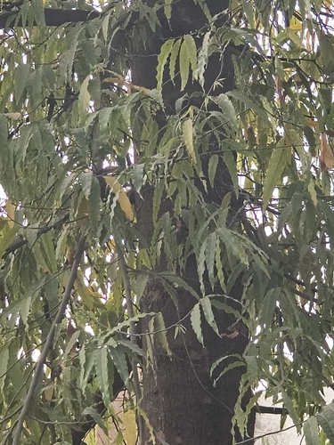
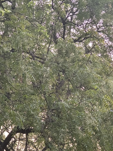

Research-grade observations from iNaturalist (within ~15 mi).
Events
Gallery
Official Identifiers
Local Government Directory (India)
- LGD code
- 803004
- Population (Wikidata)
- 200,516
- Wikidata
- Q1772751
LGD code via Wikidata P5578
Sources
- • Wikipedia
- • iNaturalist
- • Open-Meteo / sunrise-sunset.org
- • Wikipedia Pageviews API
- • Open Library
- • Local Government Directory (India) — LGD code via Wikidata P5578