Browse / India / Rajasthan / Nimbahera
Nimbahera
Rajasthantown
Total population
62,000
Demographic figures from Ministry of Statistics (India). Overview below cites Wikipedia and may reference a different year.
City facts
Facts from Wikidata (CC0).
Overview
Nimbahera is a town and a municipality in Chittorgarh district in the Indian state of Rajasthan. It is located around 32 km from Chittorgarh city, 350 km (220 mi) south-west of the state capital, Jaipur. Nimbahera is connected through both rail and road; it lies on the railway line connecting Ajmer to Ratlam.
Read more on WikipediaHistory & geography
Geography
Nimbahera is located at .
Excerpted from the corresponding Wikipedia article (CC BY-SA).
Geography
Coordinates & boundaries from the US Census TIGER/Line shapefiles.
Climate
Air quality
Walkability
Amenities nearby
Wildlife & biodiversity
Earthquake history
Photos
Sights & places nearby
Notable people from here
Geography & sun
Elevation, sunrise/sunset and daylight from Open-Meteo. Solar climatology from NASA POWER.
Nearby airports
Public attention
Pageview totals from the Wikimedia Pageviews API.
Books about Nimbahera
Search results from Open Library.
Recent natural events nearby
Ground air-quality sensors
Recently spotted species
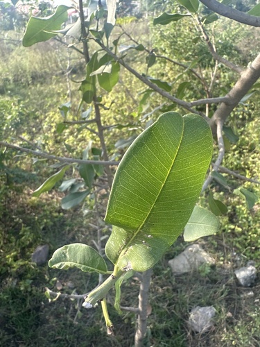
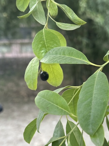
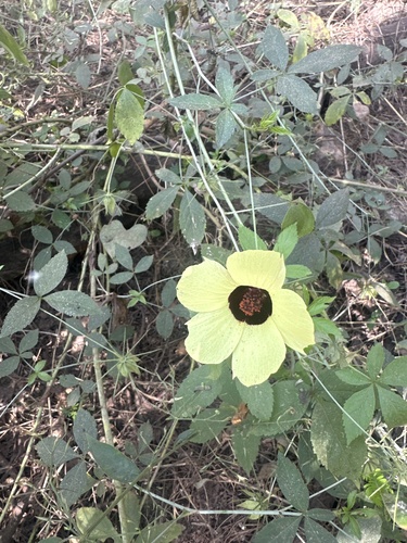
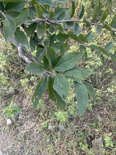
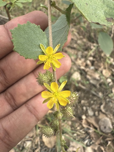
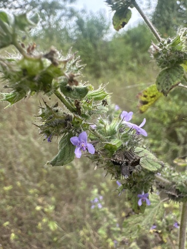
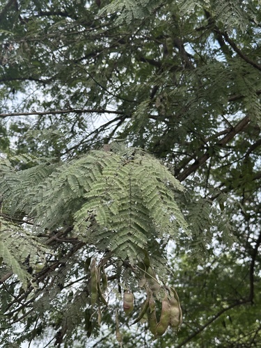
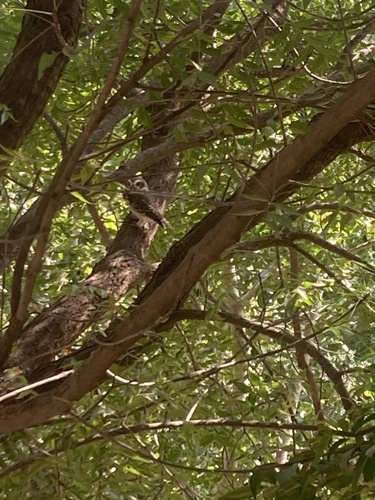
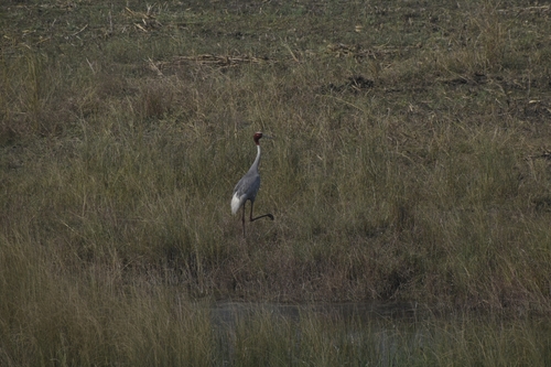
Research-grade observations from iNaturalist (within ~15 mi).
Events
Gallery
Sources
- • Wikipedia
- • Wikidata
- • iNaturalist
- • Open-Meteo / sunrise-sunset.org
- • Wikipedia Pageviews API
- • Open Library