Browse / India / Rajasthan / Pachpadra
Pachpadra
Rajasthantown

Featured view
Pachpadra
Total population
9,200
Elevation102 m
Coordinates25.92°, 72.25°
Demographic figures from Ministry of Statistics (India). Overview below cites Wikipedia and may reference a different year.
Loading additional data from public sources…0 / 11
CensusWikipediaWeatherPlacesPeopleEnvironmentHealth & SchoolsRelatedGeography & CultureLive MonitoringEvents & Gallery
0% completeCity facts
Elevation
102 m
Facts from Wikidata (CC0).
Overview
Pachpadra is a small town, just 11 km from Balotra city in Balotra district in Indian state of Rajasthan. It is a tehsil headquarter. The nearest railway station of Pachpadra is Balotra railway station.
Read more on WikipediaHistory & geography
Geography
Latitude
25.9219
Longitude
72.2532
Water area
—
Coordinates & boundaries from the US Census TIGER/Line shapefiles.
Climate
Air quality
Walkability
Amenities nearby
Wildlife & biodiversity
Earthquake history
Photos
Sights & places nearby
Notable people from here
Nearby places in Rajasthan
- Balotra6.1 mi away · pop. 74,500
- Shergarh28.2 mi away · pop. 6,100
- Ahore50.4 mi away · pop. 16,900
- Jodhpur55 mi away · pop. 1,034,000
- Rohat55.2 mi away · pop. 6,900
- Gudha Malani60.5 mi away · pop. 6,330
- Bhinmal63.2 mi away · pop. 49,700
- Pali67.6 mi away · pop. 230,000
- Dhorimanna71 mi away · pop. 6,500
- Pokaran72 mi away · pop. 23,600
- Chitalwana79.2 mi away · pop. 8,200
- Sirohi81 mi away · pop. 39,200
Geography & sun
Avg solar (kWh/m²/day)
5.71
Annual solar (kWh/m²)
2,085
Elevation, sunrise/sunset and daylight from Open-Meteo. Solar climatology from NASA POWER.
Nearby airports
Public attention
Wikipedia views (last 30 days)
379
Avg daily Wikipedia views
13
Attention level
Obscure
Pageview totals from the Wikimedia Pageviews API.
Books about this place
Recent natural events nearby
Ground air-quality sensors
Recently spotted species
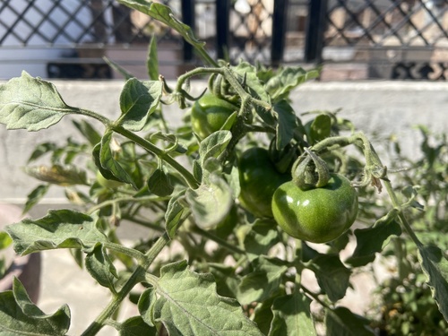
Research-grade observations from iNaturalist (within ~15 mi).
Events
Gallery
Sources
- • Wikipedia
- • Wikidata
- • iNaturalist
- • Open-Meteo / sunrise-sunset.org
- • Wikipedia Pageviews API