Browse / India / Jharkhand / Pakaur
Pakaur
Jharkhandtown

Pakaur
Total population
5,000
Demographic figures from Ministry of Statistics (India). Overview below cites Wikipedia and may reference a different year.
City facts
Facts from Wikidata (CC0).
Overview
Pakur is a town with a nagar palika in the Pakur subdivision of the Pakur district, Jharkhand state, India.
Read more on WikipediaHistory & geography
History
Pakur was earlier a Sub-Division of Santhal Parganas district of Bihar. It was upgraded to the status of district on 28 January 1994. Upon reorganization of Bihar state, India, in 2000 into two separate states, namely, Bihar and Jharkhand, Pakur district came under the administrative control of the Jharkhand state.
Geography
Pakur is located at Pakur has an area of . The map shows a hilly area with the Rajmahal hills running from the bank of the Ganges in the extreme north to south, beyond the area covered by the map into Dumka district. ‘Farakka’ is marked on the map and that is where Farakka Barrage is, just inside West Bengal. Rajmahal coalfield is shown in the map. The entire area is overwhelmingly rural with only small pockets of urbanisation.
Excerpted from the corresponding Wikipedia article (CC BY-SA).
Geography
Coordinates & boundaries from the US Census TIGER/Line shapefiles.
Climate
Air quality
Walkability
Amenities nearby
Wildlife & biodiversity
Earthquake history
Photos
Sights & places nearby
Notable people from here
People born within ~10 km, from Wikidata (CC0). Click any name for their Wikipedia article.
Nearby places in Jharkhand
Geography & sun
Elevation, sunrise/sunset and daylight from Open-Meteo. Solar climatology from NASA POWER.
Nearby airports
Public attention
Pageview totals from the Wikimedia Pageviews API.
Books about this place
Recent natural events nearby
Ground air-quality sensors
Recently spotted species
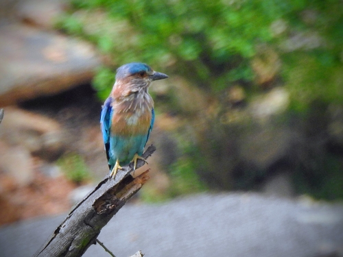
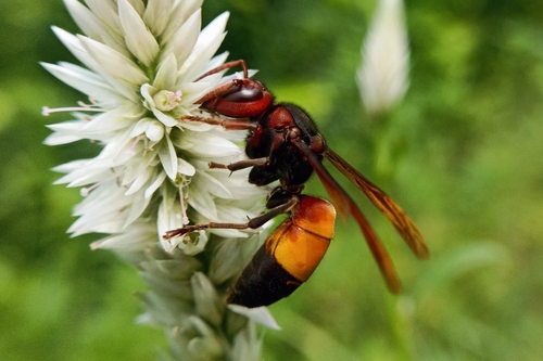
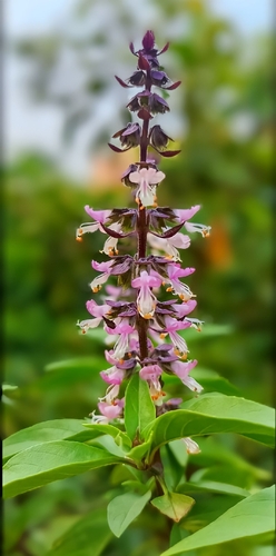

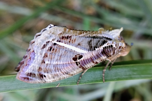
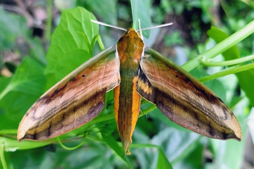
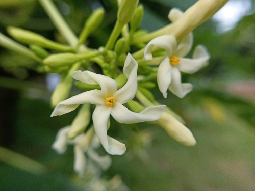
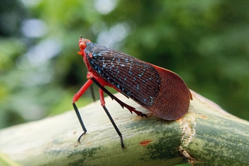

Research-grade observations from iNaturalist (within ~15 mi).
Events
Gallery
Sources
- • Wikipedia
- • Wikidata
- • iNaturalist
- • Open-Meteo / sunrise-sunset.org
- • Wikipedia Pageviews API