Browse / India / Maharashtra / Patan
Patan
Maharashtratown
Air quality index
Demographic figures from Ministry of Statistics (India). Overview below cites Wikipedia and may reference a different year.
City facts
Facts from Wikidata (CC0).
Overview
Patan is a census town in Satara district in the Indian state of Maharashtra.
Read more on WikipediaHistory & geography
History
The Patankar family was originally in two branches, of which the elder branch alone flourished. The younger branch represented by Hanmantrav resided in Rampur. His mansion, a fine large house was completely destroyed by fire in 1874. Next to it on the south is the mansion of Sardar Nagojirav Patankar, a first-class sardar and honorary magistrate who exercised civil jurisdiction in his area. The mansion with strong high stone walls and ramparts and a gateway flanked by bastions, is well maintained. A rose and plantain garden has been laid out close to it. The Patankars were the deshmukhs under the Marathas of the whole surrounding district and had charge of Dategad fort three miles to the north-west. During the struggles between the Peshvas and the Pratinidhis they did pretty much what they pleased. The elder branch is one of the few prosperous Maratha families in the district. There is no historical mention of Patan. But title deeds show that the Bijapur kings had a well established rule here. The district was assigned to the Pratinidhi by Ram Raja but was wrested from him by the Peshva after the rebellion of Yemaji Shivdev Mutalik in 1750 [ Grant Duff's Marathas Vol. I, 447.]. It was not finally secured to the Peshva till the time of Bapu Gokhale. Throughout the eighteenth century both the authorities issued contradictory orders but the carrying out of these orders largely rested on the will of the Patankars alone.
Geography
Patan is located at . It has an average elevation of 582 metres (1909 feet).
Excerpted from the corresponding Wikipedia article (CC BY-SA).
Geography
Coordinates & boundaries from the US Census TIGER/Line shapefiles.
Climate
Air quality
Current readings from Open-Meteo Air Quality API (Copernicus CAMS European reanalysis).
Walkability
Amenities nearby
Wildlife & biodiversity
Most-observed species
- Red-whiskered BulbulPycnonotus jocosus (Linnaeus, 1758) · Aves321
- Red-vented BulbulPycnonotus cafer (Linnaeus, 1766) · Aves286
- White-cheeked BarbetPsilopogon viridis (Boddaert, 1783) · Aves276
- Jungle BabblerTurdoides striata (Dumont, 1823) · Aves259
- Purple SunbirdCinnyris asiaticus (Latham, 1790) · Aves247
- Pied BushchatSaxicola caprata (Linnaeus, 1766) · Aves212
- Green Bee-eaterMerops orientalis Latham, 1801 · Aves208
- Oriental Magpie-RobinCopsychus saularis (Linnaeus, 1758) · Aves183
Citizen-science & research observations from the Global Biodiversity Information Facility (GBIF).
Earthquake history
Most recent
- M 4.3 — 2019-06-2026 km S of Koynanagar, India
- M 4.3 — 2017-06-036 km ENE of R?j?pur, India
- M 4.4 — 2012-04-1411 km ESE of M?khjan, India
- M 4.2 — 2010-01-1222 km S of Koynanagar, India
- M 4.3 — 2009-12-1217 km SSW of M?khjan, India
- M 4.4 — 2009-12-1226 km SE of M?khjan, India
Events from the USGS Earthquake Catalog (global) (FDSN Event Web Service).
Photos
Sights & places nearby
Notable people from here
Geography & sun
Elevation, sunrise/sunset and daylight from Open-Meteo. Solar climatology from NASA POWER.
Nearby airports
Public attention
Pageview totals from the Wikimedia Pageviews API.
Books about this place
Recent natural events nearby
Ground air-quality sensors
Recently spotted species

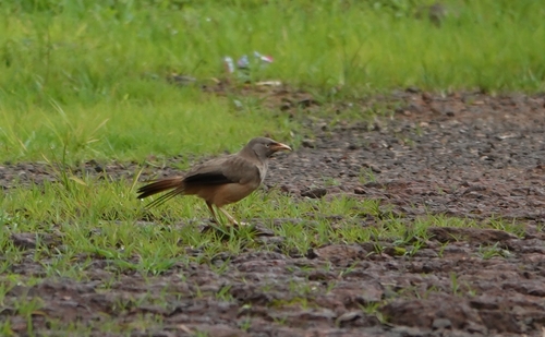
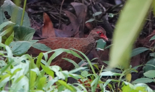
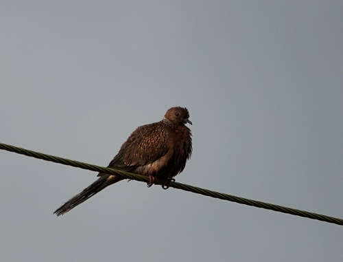
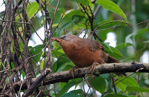
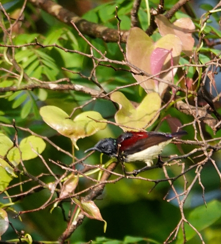
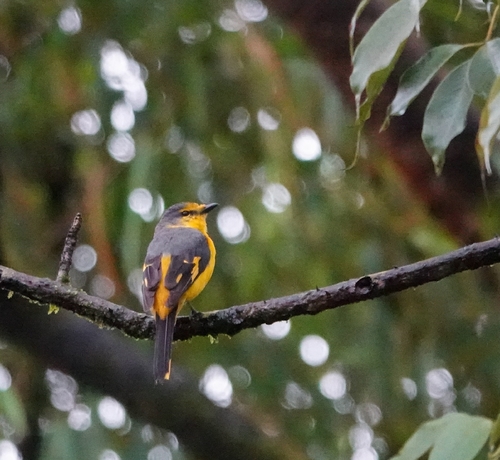
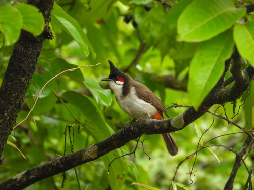
Research-grade observations from iNaturalist (within ~15 mi).
Events
Gallery
Sources
- • Wikipedia
- • Wikidata
- • Open-Meteo Air Quality (CAMS)
- • USGS Earthquake Catalog (global feed)
- • GBIF (Global Biodiversity Information Facility)
- • iNaturalist
- • Open-Meteo / sunrise-sunset.org
- • Wikipedia Pageviews API