Browse / India / Bihar / Patna
Patna
Biharcity

Patna
Total population
500,000
Demographic figures from Ministry of Statistics (India). Overview below cites Wikipedia and may reference a different year.
City facts
Facts from Wikidata (CC0).
Overview
Patna, historically known as Pāṭaliputra, is the capital and largest city of the Indian state of Bihar. According to the United Nations, as of 2026, Patna had a population of 3.33 million, making it the 19th largest city in India. Covering 250 square kilometres (97 sq mi) and over 2.5 million people, its urban agglomeration is the 18th largest in India. Patna also serves as the seat of Patna High Court. The Buddhist, Hindu and Jain pilgrimage centres of Vaishali, Rajgir, Nalanda, Bodh Gaya and Pawapuri are nearby and Patna City is a sacred city for Sikhs as the tenth Sikh Guru, Guru Gobind Singh was born here. The modern city of Patna is mainly on the southern bank of the river Ganges. The city also straddles the rivers Son, Gandak and Punpun. The city is approximately 35 kilometres (22 mi) in length and 16 to 18 kilometres wide.
Read more on WikipediaHistory & geography
History
Traditional Buddhist literature attributes foundation of Patna 490 BCE as Ajatashatru, the king of Magadha, wanted to shift his capital from the hilly Rajagrha (today Rajgir) to a strategically chosen place to better combat the Licchavis of Vaishali. He chose the site on the bank of the Ganges and fortified the area. Gautama Buddha travelled through this place in the last year of his life. He prophesied a great future for this place even as he predicted its ruin due to flood, fire, and feud. According to Dieter Schlingloff, the Buddhist accounts may have presented the grandeur of Patna as a prophecy and that its wooden fortifications, unlike other early historic Indian cities, indicate that it might be much older than thought but only archaeological excavation and C14 dates of its wooden palisades which is presently lacking may establish this. Megasthenes, the Indo-Greek historian and ambassador to the court of Chandragupta Maurya, gave one of the earliest accounts of the city. He wrote that the city was on the confluence of the rivers Ganga and Arennovoas (Sonabhadra – Hiranyawah) and was long and wide. Megasthenes, the Greek ambassador to India, described the city as the greatest city on earth during its heyday. The Shungas ultimately retained control of Pataliputra and ruled for almost 100 years. The Shungas were followed by the Kanvas and eventually by the Guptas. Some Chinese travellers came to India in pursuit of knowledge and recorded their observations about Pataliputra in their travelogues. One such famous account was recorded by a Chinese Buddhist traveller Fa Hien, who visited India between 399 and 414 CE, and stayed here for many months translating Buddhist texts. When the Chinese Buddhist Monk Faxian visited the city in 400 A.D, he found the people…
Geography
{| class="wikitable" style="float:right; text-align:center; font-size:90%; margin:1em;" |- |+ Patna's Urban agglomeration |- style="background:#dedebb;" ! colspan="2"| Jurisdiction ! Population |- style="background:#efefcc;" ! Town ! Type ! Estimate (2011) |- | Patna || Municipal Corporation || style="text-align:right;" | 1,684,222 |- | Danapur || Nagar Parishad || style="text-align:right;" | 182,429 |- | Badalpura || Out Growth || style="text-align:right;" | 75 |- | Danapur Cantonment || Cantonment Board || style="text-align:right;" | 28,723 |- | Khagaul || Nagar Parishad || style="text-align:right;" | 44,364 |- | Nohsa || Census Town || style="text-align:right;" | 16,680 |- | Pataliputra Housing Colony || Census Town || style="text-align:right;" | 3,531 |- | Phulwari Sharif || Nagar Parishad || style="text-align:right;" | 81,740 |- | Saidpura || Census Town || style="text-align:right;" | 7,392 |- style="background:#ddd;" | colspan="2" | Patna UA || style="text-align:right;" | 2,049,156 |- style="background:#ccc;" | colspan="2" | Patna district || style="text-align:right;" | 5,838,465 |- | colspan="7" | Source: |} Patna is on the southern bank of the river Ganges. The total area of Patna is . The municipal area constitutes . The suburban area covers . It has an average elevation of . A characteristic feature of the geography of Patna is its confluence of major rivers. During the British Raj, Patna was part of the Bengal Presidency. After Nalanda district was carved out of Patna district in 1976, Patna was purged of all hilly regions. It is an alluvial, flat expanse of land. The land in the district is fertile and is almost entirely cultivated, with no forest cover. Alluvial soil is ideal for cultivating rice, sugarcane, and other food grains. The area under…
Excerpted from the corresponding Wikipedia article (CC BY-SA).
Geography
Coordinates & boundaries from the US Census TIGER/Line shapefiles.
Climate
Air quality
Walkability
Amenities nearby
Wildlife & biodiversity
Earthquake history
Photos
Sights & places nearby
Notable people from here


People born within ~10 km, from Wikidata (CC0). Click any name for their Wikipedia article.
Nearby places in Bihar
Geography & sun
Elevation, sunrise/sunset and daylight from Open-Meteo. Solar climatology from NASA POWER.
Nearby airports
Public attention
Pageview totals from the Wikimedia Pageviews API.
Books about Patna
Search results from Open Library.
Recent natural events nearby
Ground air-quality sensors
Recently spotted species
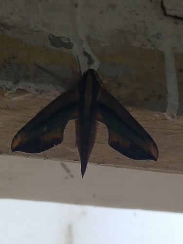


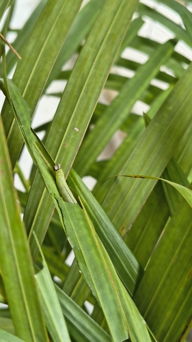

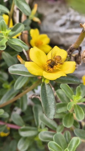

Research-grade observations from iNaturalist (within ~15 mi).
Events
Gallery
Sources
- • Wikipedia
- • Wikidata
- • iNaturalist
- • Open-Meteo / sunrise-sunset.org
- • Wikipedia Pageviews API
- • Open Library