Browse / India / Kerala / Payyanur
Payyanur
Keralatown

Payyanur
Demographic figures from Ministry of Statistics (India). Overview below cites Wikipedia and may reference a different year.
City facts
Facts from Wikidata (CC0).
Overview
Payyanur is a municipal town and a taluk, a sub-district administrative unit, in the Kannur district of Kerala, India. Payyanur is the first municipality in Kerala to establish libraries in all its wards. On 10 March 2018, Kerala Chief Minister Pinarayi Vijayan inaugurated Payyanur as the fifth taluk in the district. Payyanur taluk comprises 22 villages including 16 de-linked from the Taliparamba taluk and six from the Kannur taluk. The town is situated on the banks of the Perumba River.
Read more on WikipediaHistory & geography
History
Payyanur is one of several extant ancient civilized places in Kerala. The northern town of Kerala claims a rich recorded history. The archaeological remains excavated from Payyanur and nearby places prove the existence of a city in this area centuries ago. Several notable travelers have described this area in their writings. Ibn Battuta visited Ezhimala in AD 1342 and wrote about the large seaport and the Chinese ships anchored here. Abul Fida in AD 1273, Marco Polo in AD 1293, the Italian explorer Niccolò de' Conti in the 15th century and the Portuguese scholar and traveler Barbosa all visited this place and gave extensive accounts of Ezhimala port, which was then known as "Heli". In the past, the city of Kachil Patanam (presently Kavvayi) was the main town due to the proximity of waterways through Kavvayi River and its large seaport. It was both the administrative and business center during that time. According to historians, the ships from China and other countries used to visit this port and were anchored in the nearby river Changoorichal. Kavvayi retained its position during the rule of British East India Company also. They established the first Magistrate's court and Registrar's Office in Kavvayi. Later, Kokkanisseri became the city center. The main road, which starts from Perumba in the east, up to old post office in the west and Kunhimangalam Mana in the south to government hospital in the north is called Kokkanisseri. The south of this town was called Payyanur village and the north of Kokkanisseri is called Moorikkovval village. The business center was called Kokkanisseri Bazaar. Later, the name Payyanur became common and thus the developed city of today came into existence. During the regime of the Kolathiri Dynasty, Payyanur was a part of Kolathu Nadu,…
Geography
Payyanur is located at coordinates . It has an average elevation of 16 metres (51 feet).
Excerpted from the corresponding Wikipedia article (CC BY-SA).
Geography
Coordinates & boundaries from the US Census TIGER/Line shapefiles.
Climate
Air quality
Walkability
Amenities nearby
Wildlife & biodiversity
Earthquake history
Photos
Sights & places nearby
Notable people from here


People born within ~10 km, from Wikidata (CC0). Click any name for their Wikipedia article.
Nearby places in Kerala
- Perumba0.9 mi away
- Kothaymukku1.9 mi away · pop. 10,000
- Thrikaripur3.3 mi away
- Pilathara4.2 mi away
- Karivellur4.7 mi away
- Kalikadavu6.4 mi away · pop. 300,000
- Pazhayangadi6.8 mi away
- Cheruvathur8.2 mi away · pop. 27,530
- Cheemeni9.3 mi away · pop. 9,000
- Chiravakku10.9 mi away
- Kayyur11.1 mi away · pop. 6,450
- Kappalam11.2 mi away
Geography & sun
Nearby airports
Public attention
Books about this place
Recent natural events nearby
Ground air-quality sensors
Recently spotted species
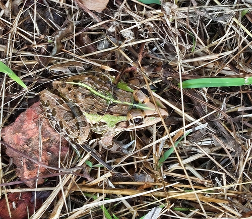
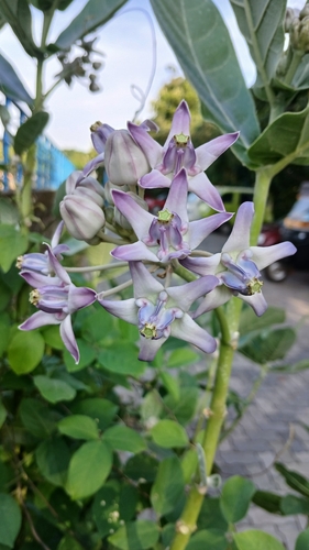
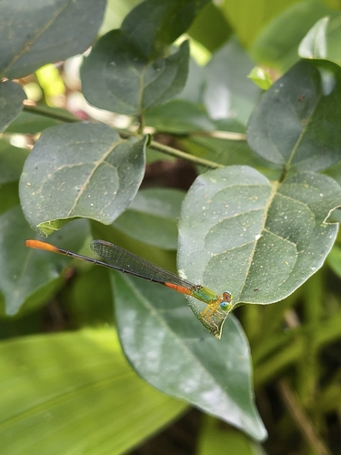
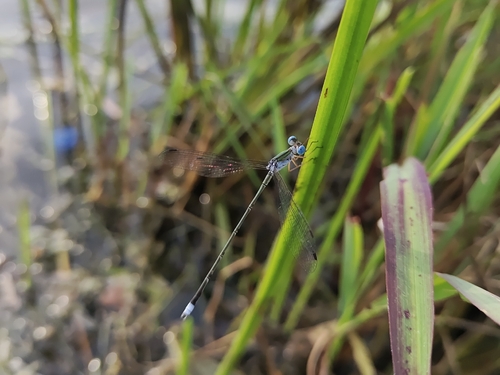
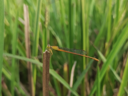
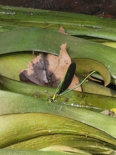
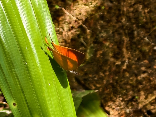
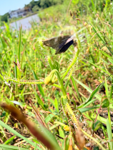
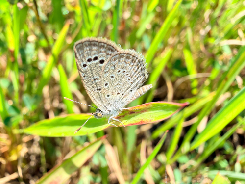
Research-grade observations from iNaturalist (within ~15 mi).
Events
Gallery
Sources
- • Wikipedia
- • Wikidata
- • iNaturalist