Browse / United States / Indiana / Pence
Pence
IndianaCDP
Total population
0
Median home value
$0
Median income
$0
Founded
1902
Demographic figures from US Census Bureau · ACS 5-year estimates. Overview below cites Wikipedia and may reference a different year.
City facts
Facts from Wikidata (CC0).
Overview
Pence is a small unincorporated community in Jordan Township, Warren County, in the U.S. state of Indiana.
Read more on WikipediaHistory & geography
History
Pence was founded in September 1902 by Frank R. Pence, who purchased of land for the purpose. In 1903, Pence became the smallest town in the United States to have a central water system. In the early part of the 20th century, Pence had numerous businesses including a grain elevator, a blacksmith shop, a welding and machine shop, a lumber yard, a coal yard, the Bank of Pence (which closed in the 1920s), a hotel (which also housed the post office for a time), restaurants, a general store, grocery stores, a hardware store, a weekly newspaper, a funeral home, a jewelry store, and various others. As of 1913, the population was about 150. Pence had a baseball team from 1910 to 1955, and also had a basketball team (the Pence Aces). The post office operated from October 12, 1903, to April 5, 1957.
Geography
Pence is located less than a mile east of the Indiana-Illinois state line and a quarter mile from Jordan Creek, which flows southwest toward the Vermilion River. It is on County Road 300 North, which (in Illinois) runs into the town of Rossville about 9 miles to the west.
Excerpted from the corresponding Wikipedia article (CC BY-SA).
Demographics & economy
Source: US Census Bureau — American Community Survey, 5-year estimates.
Geography
Coordinates & boundaries from the US Census TIGER/Line shapefiles.
Climate
Current forecast
Forecast for Pence, IN from NOAA NWS API.
Air quality
Industrial & pollution facilities
Natural hazard risk
Health (adults)
Walkability
Amenities nearby
Wildlife & biodiversity
Schools
Largest nearby schools
- Seeger Memorial Jr-Sr High SchoolHigh · West Lebanon · 620 students · 15.9:1 ratio
- Warren Central Elementary SchoolElementary · West Lebanon · 371 students · 18.6:1 ratio
Public K–12 schools within ~10 mi from Urban Institute Education Data Portal (NCES Common Core of Data, 2022).
Earthquake history
Photos
Sights & places nearby
Notable people from here
Nearby places in Indiana
Geography & sun
Elevation, sunrise/sunset and daylight from Open-Meteo. Solar climatology from NASA POWER.
Nearby airports
Public attention
Pageview totals from the Wikimedia Pageviews API.
Books about Pence


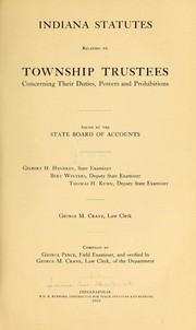
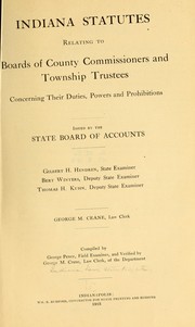
Search results from Open Library.
Recent natural events nearby
Ground air-quality sensors
Recently spotted species
Nearest stream gauge
Events
Gallery
Sources
- • Wikipedia
- • US Census Bureau (ACS 5-year estimates)
- • NOAA National Weather Service
- • Wikidata
- • NCES via Urban Institute Education Data Portal
- • Open-Meteo / sunrise-sunset.org
- • Wikipedia Pageviews API
- • Open Library