Browse / India / Rajasthan / Pirawa
Pirawa
Rajasthantown
No image yet
Total population
12,800
Elevation370 m
Coordinates24.16°, 76.03°
Demographic figures from Ministry of Statistics (India). Overview below cites Wikipedia and may reference a different year.
Loading additional data from public sources…0 / 11
CensusWikipediaWeatherPlacesPeopleEnvironmentHealth & SchoolsRelatedGeography & CultureLive MonitoringEvents & Gallery
0% completeCity facts
Elevation
370 m
Facts from Wikidata (CC0).
Overview
Pirawa is a city and a municipality in Jhalawar district in the India.
Read more on WikipediaHistory & geography
Geography
Pirawa is located at . It has an average elevation of 370 metres (1213 feet).
Excerpted from the corresponding Wikipedia article (CC BY-SA).
Geography
Latitude
24.1615
Longitude
76.0338
Water area
—
Coordinates & boundaries from the US Census TIGER/Line shapefiles.
Climate
Air quality
Walkability
Amenities nearby
Wildlife & biodiversity
Earthquake history
Photos
Sights & places nearby
Notable people from here
Geography & sun
Nearby airports
Public attention
Books about this place
Recent natural events nearby
Ground air-quality sensors
Recently spotted species
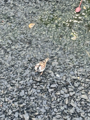
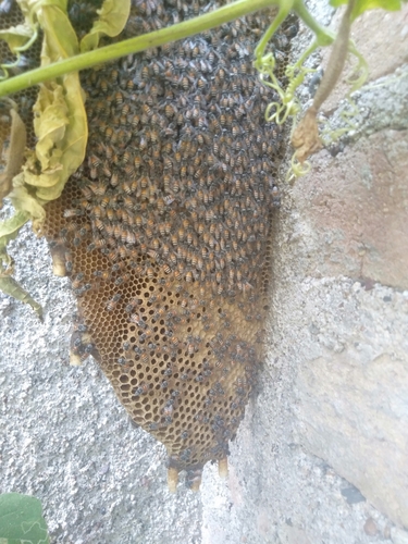
Research-grade observations from iNaturalist (within ~15 mi).
Events
Gallery
Sources
- • Wikipedia
- • Wikidata
- • iNaturalist