Browse / India / Andhra Pradesh / Podili
Podili
Andhra Pradeshtown

Podili
Total population
31,145
Demographic figures from Ministry of Statistics (India). Overview below cites Wikipedia and may reference a different year.
City facts
Facts from Wikidata (CC0).
Overview
Podili is a Municipality Town in Markapuram district of the Indian state of Andhra Pradesh. It is the mandal headquarters of Podili mandal. Podili is also known as Prudulapuri. Before British rule its name was "Prudulapuri" meaning "Head quarters of the universe". There is purana reference to this related to Prudhu Chakravarthi.
Read more on WikipediaHistory & geography
History
The Kakatiyas were yet another dynasty to hold sway over the area comprised in Prakasam district. The first ruler who had anything to do with this district was Rudra (1150-1195 A.D.) The next phase in the conquest of this district appears to be in the time of Ganapathi Deva. He was the son of Mahadeva. So far as this district is concerned, Ganapathi Deva subdued the Velanadu Cholas, Telugu Cholas of Konidena and Chakranarayana princes. With the first, he acquired mastery over Podili and Darsi and seems to have entrusted it to the Kayastha chief Gangaya Sahini who was ruling from Panugal to Marajawadi. These series of conquests brought Podili, Darsi, Addanki, Markapur and Giddaluru taluks of this district under the sway of the Kakatiyas. The Saluvas ruled over the Podili area in the 15th century A.D., with their capital at Podili. A few inscriptions and the kaifiyat of Podili form the sources of their history. The Saluvas were known as Sombuvarayas and are confused with the Saluvas of Guntur, who acquitted and distinguished themselves better than the Saluvas of Podili and became celebrated in Srinatha's works. The rule of the Saluvas of Podili ended with Telugu Rayudu. Afterwards nothing is heard of his successors or sons.
Geography
Podili is located on kurnool-ongole Road. It is 15.604°N 79.608°E in the Markapuram district of Andhra Pradesh. It has an area of . Podili-Kanigiri Plain is located in the South central part of the district expanding over complete Podili and parts of Markapur, Tarlupadu, Kanigiri and Pamur areas. It is drained by Musi and Paleru rivers with their tributaries, which are the sources of minor irrigation. The geology shows Archaean and lower Pre-Cambrian rock formations while the soils are Ustalfs-Tropepts.
Excerpted from the corresponding Wikipedia article (CC BY-SA).
Geography
Coordinates & boundaries from the US Census TIGER/Line shapefiles.
Climate
Air quality
Walkability
Amenities nearby
Wildlife & biodiversity
Earthquake history
Photos
Sights & places nearby
Notable people from here
Geography & sun
Elevation, sunrise/sunset and daylight from Open-Meteo. Solar climatology from NASA POWER.
Nearby airports
Public attention
Pageview totals from the Wikimedia Pageviews API.
Books about this place
Recent natural events nearby
Ground air-quality sensors
Recently spotted species
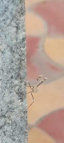
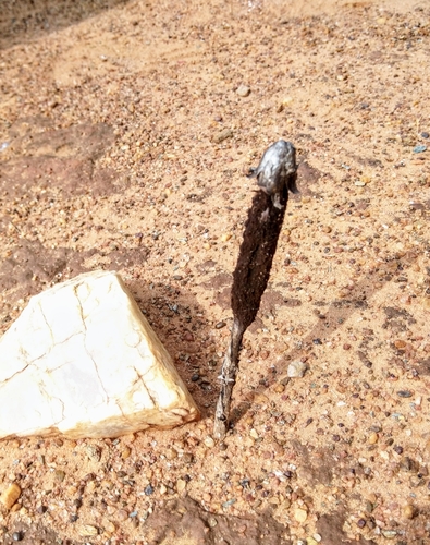
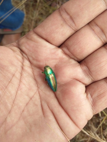
Research-grade observations from iNaturalist (within ~15 mi).
Events
Gallery
Official Identifiers
Local Government Directory (India)
- LGD code
- 590988
- Population (Wikidata)
- 31,145
- Wikidata
- Q7206808
LGD code via Wikidata P5578
Sources
- • Wikipedia
- • Wikidata
- • iNaturalist
- • Open-Meteo / sunrise-sunset.org
- • Wikipedia Pageviews API
- • Local Government Directory (India) — LGD code via Wikidata P5578