Browse / India / Gujarat / Porbandar
Porbandar
Gujaratcity

Porbandar
Total population
152,100
Demographic figures from Ministry of Statistics (India). Overview below cites Wikipedia and may reference a different year.
City facts
Overview
Porbandar is a city and the headquarters of the Porbandar district in the Indian state of Gujarat. It is the birthplace of Mahatma Gandhi and Sudama. It was the former capital of the Porbandar princely state. Porbandar and Chhaya are the twin cities, of each other and both cities are jointly governed by Porbandar–Chhaya Municipal Corporation.
Read more on WikipediaHistory & geography
History
Porbandar was the seat of the eponymous princely state in British India. Later the state belonged to the Jethwa clan of Rajputs and had been established in the area since at least the mid-16th century. The state was subordinate to the Mughal governor of Gujarat Subah until being overrun by the Marathas in the latter half of the 18th century. After, they came under the authority of the Gaekwad court at Baroda and eventually of the Peshwa. Upon the Independence of India in 1947, the state was annexed into the dominion of India. It was merged with the 'United State of Kathiawar', effective 15 February 1948 and eventually came to form part of the present-day state of Gujarat. The last King of Porbandar was Natwarsinhji Bhavsinhji Maharaj.
Geography
Porbandar is located at . It has an average elevation of 1 metre (3 ft). Like most of Gujarat, Porbandar has a hot semi-arid climate (Köppen BSh) with three distinct seasons: the “cool” from October to March, the “hot” in April, May and early June, and the monsoonal “wet” from mid-June to September. Almost no rain falls outside the monsoon season, except for a very few late-season tropical cyclones. The most powerful one occurred on 22 October 1975 and produced a storm surge of . During the monsoon season, rainfall is exceedingly erratic: Annual rainfall has been as low as in 1918 and in 1939, but as high as in 1983—when a cyclone caused over to fall over four days—and in 1878. With a coefficient of variation exceeding fifty percent and an expectation of only 41 percent of mean annual rainfall in the driest year in ten, the Porbandar region is among the most variable in the world—comparable to northern Australia, the Brazilian sertão and the Kiribatese Line Islands. An illustration of Porbandar's extremely variable rainfall can be seen from 1899 to 1905 when seven successive years produced annual falls of: * in 1899 * in 1900 * in 1901 * in 1902 * in 1903 * in 1904 and * in 1905 Porbandar, owing to its coastal location, is the least hot of all major cities in Gujarat: Average high temperatures do not reach in any month.
Excerpted from the corresponding Wikipedia article (CC BY-SA).
Geography
Coordinates & boundaries from the US Census TIGER/Line shapefiles.
Climate
Air quality
Walkability
Amenities nearby
Wildlife & biodiversity
Earthquake history
Photos
Sights & places nearby
Notable people from here
Nearby places in Gujarat
- Ranavav9.1 mi away · pop. 10,000
- Bhanvad22.7 mi away · pop. 1,000
- Kutiyana24.1 mi away · pop. 10,000
- Lamba26 mi away · pop. 8,681
- Gadhka33.9 mi away · pop. 6,306
- Mādhavpur35 mi away
- Manavadar35.4 mi away
- Bhatiya38 mi away · pop. 17,352
- Nandana39.5 mi away · pop. 7,106
- Khambhaliya39.6 mi away · pop. 10,000
- Upleta43.6 mi away · pop. 50,000
- Lalpur44.3 mi away
Geography & sun
Elevation, sunrise/sunset and daylight from Open-Meteo. Solar climatology from NASA POWER.
Nearby airports
Public attention
Pageview totals from the Wikimedia Pageviews API.
Books about Porbandar


Search results from Open Library.
Recent natural events nearby
Ground air-quality sensors
Recently spotted species
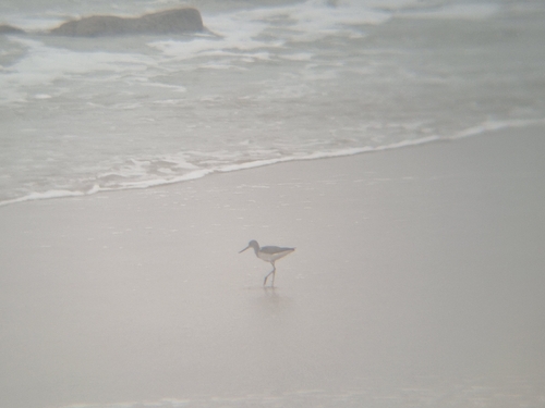
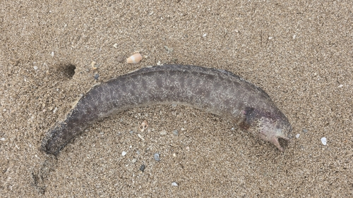
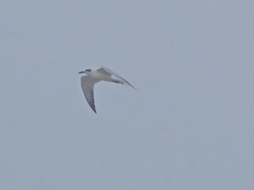
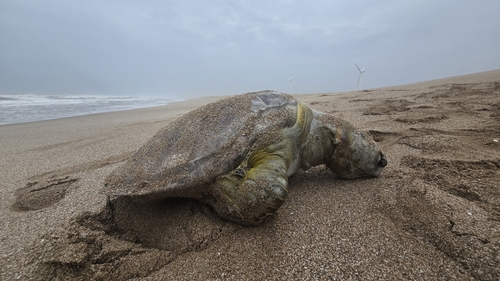
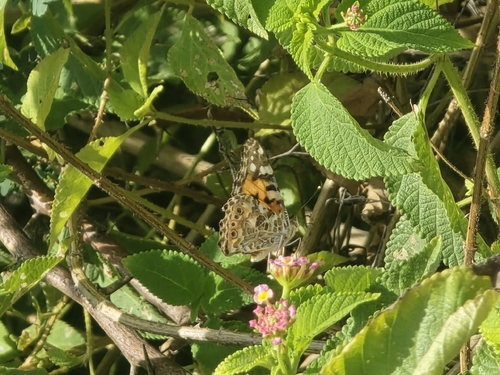
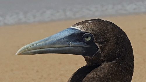
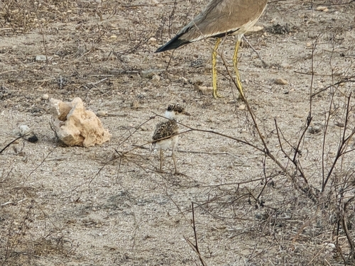

Research-grade observations from iNaturalist (within ~15 mi).
Events
Gallery
Sources
- • Wikipedia
- • iNaturalist
- • Open-Meteo / sunrise-sunset.org
- • Wikipedia Pageviews API
- • Open Library