Browse / India / Tamil Nadu / Ranipet
Ranipet
Tamil Nadutown
Total population
50,764
Demographic figures from Ministry of Statistics (India). Overview below cites Wikipedia and may reference a different year.
City facts
Facts from Wikidata (CC0).
Overview
Ranipet is an industrial town and the administrative headquarters of Ranipet district in the Indian state of Tamil Nadu. It is located on the Northern banks of the Palar River. It is a Tri-City with the adjacent municipalities of Walajapet, Arcot and Melvisharam. It is located about 115 kilometres (71 mi) west of Chennai, and about 26 kilometres (16 mi) east of Vellore. Ranipet is located on the Mumbai–Chennai arm of the Golden Quadrilateral. Ranipet is renowned for its thriving industrial base, which includes numerous small, medium, and large-scale industries, particularly in sectors such as leather tanning, chemical manufacturing, and engineering.
Read more on WikipediaHistory & geography
History
Ranipet was built around the year 1771 by Sadut-ulla-khan, the Nawab of Carnatic, in honor of the youthful widow of Desingh Raja of Gingee, who committed Sati upon her husband's death. Out of respect for Desingh Raja's valour and his wife's devotion, the Nawab formed a new village opposite to Arcot on the Northern bank of the Palar River and named it Ranipet. The town gained importance since the establishment of the European cantonment. About a mile west of Ranipet is a remarkable thope extending along the Palar river, for a distance of which is known as 'Navlakh Bagh'. It is supposed to contain 9 lakhs of trees and hence the name "Navlakh Bagh". South India's first rail operation was operated between Royapuram to Ranipet. On 15 August 2019, Ranipet became the district headquarters for the Ranipet district after the announcement of the newly created district. On 21 October 2021, Arakkonam and Nemili taluks of Ranipet district were added to the Chennai Metropolitan Area.
Excerpted from the corresponding Wikipedia article (CC BY-SA).
Geography
Coordinates & boundaries from the US Census TIGER/Line shapefiles.
Climate
Air quality
Walkability
Amenities nearby
Wildlife & biodiversity
Earthquake history
Photos
Sights & places nearby
Notable people from here


People born within ~10 km, from Wikidata (CC0). Click any name for their Wikipedia article.
Nearby places in Tamil Nadu
Geography & sun
Elevation, sunrise/sunset and daylight from Open-Meteo. Solar climatology from NASA POWER.
Nearby airports
Public attention
Pageview totals from the Wikimedia Pageviews API.
Books about Ranipet
Search results from Open Library.
Recent natural events nearby
Ground air-quality sensors
Recently spotted species
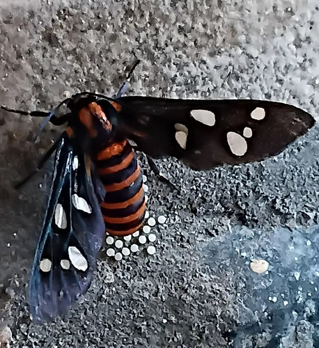
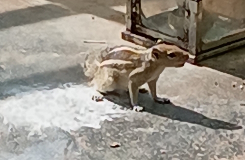
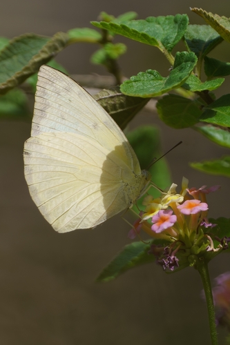
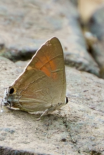
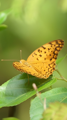
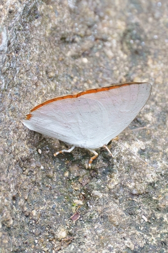
Research-grade observations from iNaturalist (within ~15 mi).
Events
Gallery
Sources
- • Wikipedia
- • Wikidata
- • iNaturalist
- • Open-Meteo / sunrise-sunset.org
- • Wikipedia Pageviews API
- • Open Library