Browse / India / Uttar Pradesh / Rasra
Rasra
Uttar Pradeshtown

Rasra
Total population
10,000
Founded
1896
Demographic figures from Ministry of Statistics (India). Overview below cites Wikipedia and may reference a different year.
City facts
Facts from Wikidata (CC0).
Overview
Rasra is a city and a municipal board in Ballia district in the Indian state of Uttar Pradesh. It is one among six tehsils that come under Ballia district, Rasra is also known as Nath Nagri due to the presence of Nath Baba mandir which is a well known religious spot. In past the production of sugar from rotten sugarcanes lead to the city being named 'Rasra' which is a portmanteau word made-up of two hindi words 'Ras' (रस) meaning juice and 'Sada/Sara' (सड़ा) meaning rotten. It has an important market for the nearby villages. Lounglatta is the famous sweet of Rasra. Dussehra is one of two very prominent festivals, here, alongside Chhath. Rasra has top schools of district. Rasra has a busy fish market, chicken market and mutton narket. It has also Sadar Bazaar, Station Road Market, Hospital Complex Market, Mission Road Market, Kali Maa ka chauraha. This place is known for all religious cultures, and has many temples, churches and mosques.
Read more on WikipediaHistory & geography
History
The area around Rasra, like the Auri area of Ballia district, was a part of the Kosala Mahajanpada in ancient times. In the medieval age this region was part of multiple ruling dynasties and became an important agrarian land holding under the local Sengar Rajputs in Lakhnesar pargana. A big historical site to be noticed in Rasra is Sri Nath Ji Temple which is related to an old tradition. Rasra is also called "Nath Nagri" due to the influence of the Nath Sampraday. During the late medieval period, Rasra became a fortified center under Sengar Rajputs, who resisted external control. In 1764, Balwant Singh who was the ruler of Narayan dynasty fought a two-day engagement here, after fierce fighting Balwant Singh captured the town . Hundreds of memorial stones sacred to the memory of the women who did Sati for their fallen husbands can be found near the large water tank (Kund) in the Nath Baba Temple . During the British Raj Rasra was a major center for resistance. It played an Important role in the Quit India Movement in early 1940s and was a hub of revolutionary activities, one such incident is [https://ballialive.in/17-august-1942-ballia-rasra-kand-five-freedom-fighters-martyred/ Rasra kand] occurred on 17th of August 1942.
Geography
Rasra is 34 km far from Ballia and 42 km from Mau. Rasra is located at . It has an average elevation of .
Excerpted from the corresponding Wikipedia article (CC BY-SA).
Geography
Coordinates & boundaries from the US Census TIGER/Line shapefiles.
Climate
Air quality
Walkability
Amenities nearby
Wildlife & biodiversity
Earthquake history
Photos
Sights & places nearby
Notable people from here
People born within ~10 km, from Wikidata (CC0). Click any name for their Wikipedia article.
Geography & sun
Elevation, sunrise/sunset and daylight from Open-Meteo. Solar climatology from NASA POWER.
Nearby airports
Public attention
Pageview totals from the Wikimedia Pageviews API.
Books about this place
Recent natural events nearby
Ground air-quality sensors
Recently spotted species
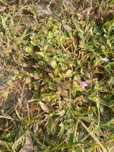
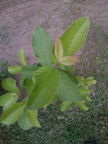
Research-grade observations from iNaturalist (within ~15 mi).
Events
Gallery
Official Identifiers
Local Government Directory (India)
- LGD code
- 343681
- Population (Wikidata)
- 617
- Wikidata
- Q60784287
LGD code via Wikidata P5578
Sources
- • Wikipedia
- • Wikidata
- • iNaturalist
- • Open-Meteo / sunrise-sunset.org
- • Wikipedia Pageviews API
- • Local Government Directory (India) — LGD code via Wikidata P5578