Browse / India / Rajasthan / Rawatsar
Rawatsar
Rajasthantown

Rawatsar
Total population
35,102
Demographic figures from Ministry of Statistics (India). Overview below cites Wikipedia and may reference a different year.
City facts
Facts from Wikidata (CC0).
Overview
Rawatsar is a city, a municipality, and one of the seven tehsils in Hanumangarh district in the Indian state of Rajasthan. It is divided into 35 wards for which elections are held every five years.
Read more on WikipediaHistory & geography
History
Rawatsar was established in 1584 by Raghodas through conquest. Were also ruled by Guhilot. They had a common oppressor, the Nawab of Rania, who raided and pillaged the area. Raghodas defeated him, and he established the thikana of Rawatsar. He earned the title of Rawat, which carries prestige along with the headseat of the Kandhalot clan (descendants of Rawat Kandhal) for contributions in battles in the Deccan, South India, Gujarat and Sultanpur. The headseat of the clan shifted to Rawatsar from Jaitpur. Raghodas also constructed the Khetarpal ji Temple. Rawatsar later on became a sirayat from a thikana, which made it one of the four major thikanas of Bikaner. The Bhatner fort is 24 miles from Rawatsar, and the Rawats were involved in its annexation. In 1799, the Maharaja Surat Singh of Bikaner sent a force of 2,000 under the leadership of Bahadur Singh (the fourth son of Rawat Anand Singh) to reclaim Bhatner, which had been occupied by Bhatti Muslims, Thakur Madan Singh of Bhukarka, and Rawat Padam Singh of Jaitpur. The Bhattis led by Ahmad Khan were defeated at Dabli and the Bikaner Forces erected a fortification known as Fatehgarh. The Bikaner forces lost against George Thomas of Hissar, who took Fatehgarh in 1799 with the Bhatti. Bahadur Singh temporarily recaptured it in a blitz attack, but Fatehgarh was seized again and Bahadur Singh was killed.
Geography
Rawatsar is located at . It has an elevation of 176 meters (577 feet).
Excerpted from the corresponding Wikipedia article (CC BY-SA).
Geography
Coordinates & boundaries from the US Census TIGER/Line shapefiles.
Climate
Air quality
Walkability
Amenities nearby
Wildlife & biodiversity
Earthquake history
Photos
Sights & places nearby
Notable people from here
Geography & sun
Elevation, sunrise/sunset and daylight from Open-Meteo. Solar climatology from NASA POWER.
Nearby airports
Public attention
Pageview totals from the Wikimedia Pageviews API.
Books about this place
Recent natural events nearby
Ground air-quality sensors
Recently spotted species
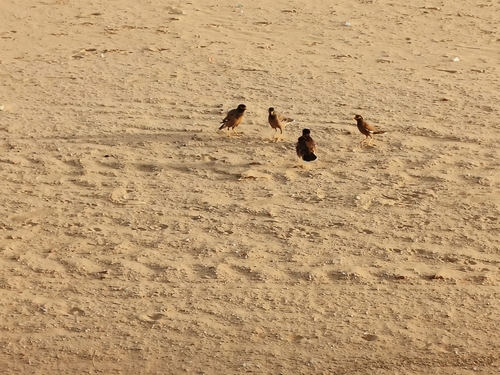
Research-grade observations from iNaturalist (within ~15 mi).
Events
Gallery
Sources
- • Wikipedia
- • Wikidata
- • iNaturalist
- • Open-Meteo / sunrise-sunset.org
- • Wikipedia Pageviews API