Browse / United States / Indiana / Riley
Riley
Indianatown

Riley
Total population
441
Median home value
$108,800
Bachelor's+
Median income
$77,083
Demographic figures from US Census Bureau · ACS 5-year estimates. Overview below cites Wikipedia and may reference a different year.
City facts
Facts from Wikidata (CC0).
Overview
Riley, once known as Lockport, is a town in Riley Township, Vigo County, in the U.S. state of Indiana. As of the 2020 census, Riley had a population of 238. It is part of the Terre Haute Metropolitan Statistical Area.
Read more on WikipediaHistory & geography
History
The original town of Lockport was platted on November 23, 1836, by Nathaniel Donham. It was known as Lockport due to its importance during the building of the Wabash and Erie Canal from 1847–1850. The canal town became a significant trading point along the waterway. Though the canal closed in 1873, the building of several different railroads kept the community as a place for trade. The town originally had various mills, sawmills and tanneries, but all were burned at different times. It was also notable in the grain market. In 1911, the town took the name of its post office and became Riley. For several decades, Riley sustained a healthy coal mining industry including a strip mine just south of town, operated by the Maumee Colleries Company as late as 1936. In the second half of the twentieth century, Riley included a small suburban residential community.
Geography
Riley is located at (39.389838, -87.300420). At one time, the Wabash and Erie Canal ran through Riley and there are remnants of locks and the canal in several places. According to the 2010 census, Riley has a total area of , all land.
Excerpted from the corresponding Wikipedia article (CC BY-SA).
Demographics & economy
Race & ethnicity
Source: US Census Bureau — American Community Survey, 5-year estimates.
Geography
Coordinates & boundaries from the US Census TIGER/Line shapefiles.
Climate
Air quality
Industrial & pollution facilities
Natural hazard risk
Health (adults)
Age-adjusted prevalence estimates from CDC PLACES (latest release).
Walkability
Amenities nearby
Wildlife & biodiversity
Schools
Largest nearby schools
- Terre Haute South Vigo High SchoolHigh · Terre Haute · 1,610 students · 15.6:1 ratio
- Terre Haute North Vigo High SchoolHigh · Terre Haute · 1,507 students · 14.9:1 ratio
- Lost Creek Elementary SchoolElementary · Terre Haute · 735 students · 15.6:1 ratio
- Woodrow Wilson Middle SchoolMiddle · Terre Haute · 701 students · 14.3:1 ratio
- Honey Creek Middle SchoolMiddle · Terre Haute · 664 students · 13.6:1 ratio
- Dixie Bee Elementary SchoolElementary · Terre Haute · 587 students · 16.8:1 ratio
- Terre Town Elementary SchoolElementary · Terre Haute · 556 students · 14.6:1 ratio
- Benjamin Franklin Elem SchoolElementary · Terre Haute · 443 students · 14.3:1 ratio
Public K–12 schools within ~10 mi from Urban Institute Education Data Portal (NCES Common Core of Data, 2022).
Earthquake history
Photos
Sights & places nearby
Notable people from here
Nearby places in Indiana
Geography & sun
Elevation, sunrise/sunset and daylight from Open-Meteo. Solar climatology from NASA POWER.
Nearby airports
Public attention
Pageview totals from the Wikimedia Pageviews API.
Books about this place
Recent natural events nearby
Ground air-quality sensors
Recently spotted species





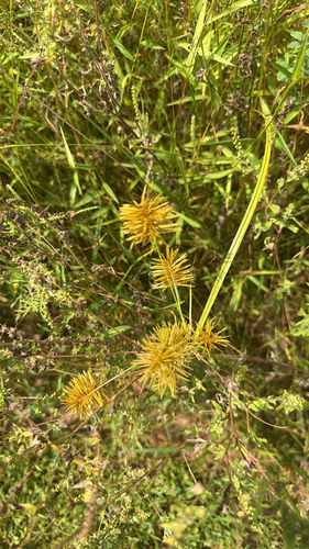


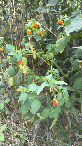
Research-grade observations from iNaturalist (within ~15 mi).
Nearest stream gauge
Events
Gallery
Sources
- • Wikipedia
- • US Census Bureau (ACS 5-year estimates)
- • Wikidata
- • NCES via Urban Institute Education Data Portal
- • iNaturalist
- • CDC PLACES
- • Open-Meteo / sunrise-sunset.org
- • Wikipedia Pageviews API